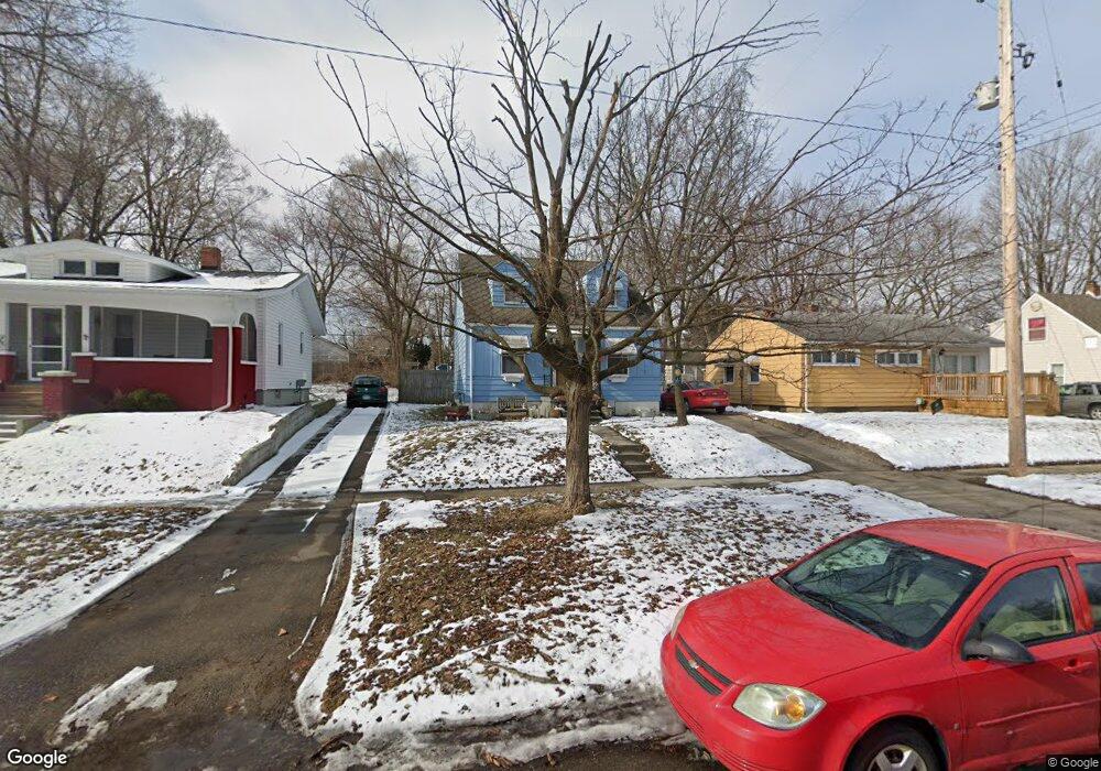
4226 Circle Dr Flint, MI 48507
Circle Drive NeighborhoodEstimated Value: $64,928 - $89,000
3
Beds
1
Bath
900
Sq Ft
$85/Sq Ft
Est. Value
About This Home
This home is located at 4226 Circle Dr, Flint, MI 48507 and is currently estimated at $76,482, approximately $84 per square foot. 4226 Circle Dr is a home located in Genesee County with nearby schools including Freeman Elementary School, Flint Southwestern Classical Academy, and International Academy of Flint (K-12).
Ownership History
Date
Name
Owned For
Owner Type
Purchase Details
Closed on
Aug 10, 2023
Sold by
Crowder Leather and Crowder Judith Anne
Bought by
Bailey George and Bailey Crowder
Current Estimated Value
Purchase Details
Closed on
Oct 7, 2010
Sold by
Crowder Leather Judith A
Bought by
Crowder Leather Judith A and Crowder Bailey George Ernest
Purchase Details
Closed on
Aug 16, 2010
Sold by
Foster Park Llc
Bought by
Crowder Leather Judith A
Purchase Details
Closed on
Jan 13, 2010
Sold by
Rock James E
Bought by
Wells Fargo Bank Na
Purchase Details
Closed on
Jan 31, 2003
Sold by
Rock Kimberly W
Bought by
Rock James E
Home Financials for this Owner
Home Financials are based on the most recent Mortgage that was taken out on this home.
Original Mortgage
$62,400
Interest Rate
9.7%
Mortgage Type
Purchase Money Mortgage
Create a Home Valuation Report for This Property
The Home Valuation Report is an in-depth analysis detailing your home's value as well as a comparison with similar homes in the area
Home Values in the Area
Average Home Value in this Area
Purchase History
| Date | Buyer | Sale Price | Title Company |
|---|---|---|---|
| Bailey George | -- | None Listed On Document | |
| Crowder Leather Judith A | -- | None Available | |
| Crowder Leather Judith A | $25,000 | Cislo Title Co | |
| Wells Fargo Bank Na | $13,000 | None Available | |
| Rock James E | -- | Titlequest Ins Agency Inc |
Source: Public Records
Mortgage History
| Date | Status | Borrower | Loan Amount |
|---|---|---|---|
| Previous Owner | Rock James E | $62,400 |
Source: Public Records
Tax History
| Year | Tax Paid | Tax Assessment Tax Assessment Total Assessment is a certain percentage of the fair market value that is determined by local assessors to be the total taxable value of land and additions on the property. | Land | Improvement |
|---|---|---|---|---|
| 2025 | $1,290 | $35,000 | $0 | $0 |
| 2024 | $1,191 | $31,300 | $0 | $0 |
| 2023 | $913 | $27,500 | $0 | $0 |
| 2022 | $0 | $22,300 | $0 | $0 |
| 2021 | $950 | $20,900 | $0 | $0 |
| 2020 | $856 | $16,700 | $0 | $0 |
| 2019 | $833 | $13,000 | $0 | $0 |
| 2018 | $836 | $11,900 | $0 | $0 |
| 2017 | $820 | $0 | $0 | $0 |
| 2016 | $814 | $0 | $0 | $0 |
| 2015 | -- | $0 | $0 | $0 |
| 2014 | -- | $0 | $0 | $0 |
| 2012 | -- | $15,900 | $0 | $0 |
Source: Public Records
Map
Nearby Homes
- 4126 Circle Dr
- 617 McKeighan Ave
- 530 McKeighan Ave
- 621 Burroughs Ave
- 4127 Custer Ave
- 630 Buckingham Ave
- 413 E Hemphill Rd
- 916 Buckingham Ave
- 326 Burroughs Ave
- 338 Browning Ave
- 1111 Lochhead Ave
- 352 Buckingham Ave
- 361 Buckingham Ave
- 366 E Atherton Rd
- 1030 McKeighan Ave
- 4424 Cheyenne Ave
- 720 Algonquin Ave
- 4526 Milton Dr
- 3505 Comanche Ave
- 2271 Kenneth St
Your Personal Tour Guide
Ask me questions while you tour the home.