423 Locust Point Rd Rumson, NJ 07760
Locust NeighborhoodEstimated Value: $4,668,073 - $6,621,000
About This Home
This home is located at 423 Locust Point Rd, Rumson, NJ 07760 and is currently estimated at $5,650,358, approximately $496 per square foot. 423 Locust Point Rd is a home located in Monmouth County with nearby schools including Navesink Elementary School, Bayshore Middle School, and Middletown - South High School.
Ownership History
We collect this data history from publicly available records. To have your information removed, we recommend requesting removal directly through your county’s website.
Purchase Details
Purchase Details
Home Values in the Area
Average Home Value in this Area
Purchase History
We collect this data history from publicly available records. To have your information removed, we recommend requesting removal directly through your county’s website.
| Date | Buyer | Sale Price | Title Company |
|---|---|---|---|
| $14,660 | None Available | ||
| $650,000 | -- |
Tax History
We collect this data history from publicly available records. To have your information removed, we recommend requesting removal directly through your county’s website.
| Year | Tax Paid | Tax Assessment Tax Assessment Total Assessment is a certain percentage of the fair market value that is determined by local assessors to be the total taxable value of land and additions on the property. | Land | Improvement |
|---|---|---|---|---|
| 2025 | $91,594 | $6,039,700 | $2,661,100 | $3,378,600 |
| 2024 | $97,286 | $5,568,000 | $2,251,300 | $3,316,700 |
| 2023 | $97,286 | $5,597,600 | $2,164,800 | $3,432,800 |
| 2022 | $102,615 | $5,419,900 | $2,151,300 | $3,268,600 |
| 2021 | $102,615 | $4,933,400 | $2,026,300 | $2,907,100 |
| 2020 | $120,305 | $5,627,000 | $2,275,000 | $3,352,000 |
| 2019 | $118,433 | $5,607,600 | $2,275,000 | $3,332,600 |
| 2018 | $118,375 | $5,462,600 | $2,285,000 | $3,177,600 |
| 2017 | $114,726 | $5,401,400 | $2,285,000 | $3,116,400 |
| 2016 | $113,866 | $5,343,300 | $2,285,000 | $3,058,300 |
| 2015 | $113,142 | $5,296,900 | $2,285,000 | $3,011,900 |
| 2014 | $110,273 | $5,037,600 | $2,285,000 | $2,752,600 |
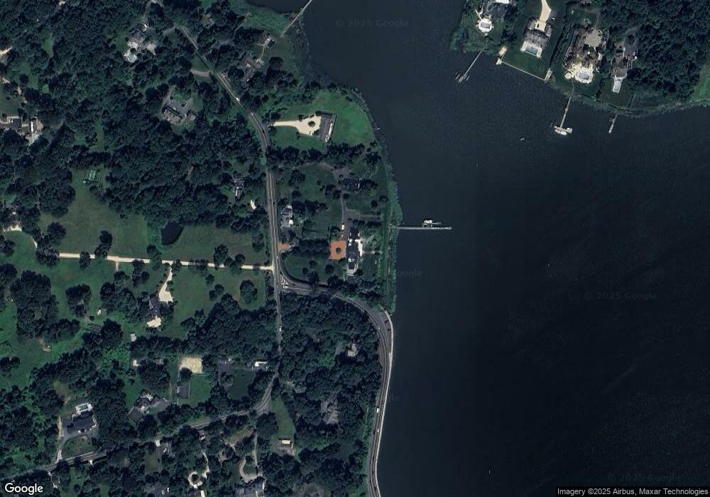
Map
- 946 Navesink River Rd
- 942 Navesink River Rd
- 934 Navesink River Rd
- 475 Locust Point Rd
- 531 Locust Point Rd
- 534 Locust Point Rd
- 1 2nd St
- 45 Mountainside Ave
- 5 Oakwood Ln
- 22 Meadowbrook Ave
- 10 Lakeside Ave
- 244 Van Kirk Ave
- 48 Allen St
- 677 Locust Point Rd
- 41 Sears Ave
- 383 Navesink Ave
- 11 Bruce Place
- 96 East Ave Unit 10
- 15 Circle Dr
- 115 Browns Dock Rd
- 425 Locust Point Rd
- 944 Navesink River Rd
- 430 Locust Point Rd
- 431 Locust Point Rd
- 935 Navesink River Rd
- 420 Locust Point Rd
- 440 Locust Point Rd
- 437 Locust Point Rd
- 931 Navesink River Rd
- 936 Navesink River Rd
- 928 Navesink River Rd
- 14 Clay Ct
- 446 Locust Point Rd
- 16 Clay Ct
- 445 Locust Point Rd
- 926 Navesink River Rd
- 18 Clay Ct
- 920 Navesink River Rd
- 18 Clay Ct
- 451 Locust Point Rd
Ask me questions while you tour the home.