423 Munson Rd West Winfield, NY 13491
Estimated Value: $153,408 - $211,000
4
Beds
1
Bath
2,268
Sq Ft
$79/Sq Ft
Est. Value
About This Home
This home is located at 423 Munson Rd, West Winfield, NY 13491 and is currently estimated at $178,352, approximately $78 per square foot. 423 Munson Rd is a home located in Otsego County with nearby schools including Mount Markham Elementary School, Mount Markham Middle School, and Mount Markham Senior High School.
Ownership History
Date
Name
Owned For
Owner Type
Purchase Details
Closed on
May 25, 2006
Current Estimated Value
Purchase Details
Closed on
May 23, 2005
Sold by
Goodale Catherine J
Bought by
Connors Stacie
Purchase Details
Closed on
May 25, 2003
Sold by
Eric Lyncourt
Bought by
Catherine Goodale
Create a Home Valuation Report for This Property
The Home Valuation Report is an in-depth analysis detailing your home's value as well as a comparison with similar homes in the area
Home Values in the Area
Average Home Value in this Area
Purchase History
| Date | Buyer | Sale Price | Title Company |
|---|---|---|---|
| -- | -- | -- | |
| Connors Michael | -- | -- | |
| Connors Stacie | $125,000 | David Clinton | |
| Catherine Goodale | $63,051 | -- |
Source: Public Records
Tax History
| Year | Tax Paid | Tax Assessment Tax Assessment Total Assessment is a certain percentage of the fair market value that is determined by local assessors to be the total taxable value of land and additions on the property. | Land | Improvement |
|---|---|---|---|---|
| 2024 | $2,720 | $51,000 | $8,000 | $43,000 |
| 2023 | $2,288 | $51,000 | $8,000 | $43,000 |
| 2022 | $2,911 | $51,000 | $8,000 | $43,000 |
| 2021 | $2,829 | $51,000 | $8,000 | $43,000 |
| 2020 | $2,217 | $51,000 | $8,000 | $43,000 |
| 2019 | $2,030 | $51,000 | $8,000 | $43,000 |
| 2018 | $2,030 | $51,000 | $8,000 | $43,000 |
| 2017 | $2,134 | $51,000 | $8,000 | $43,000 |
| 2016 | $1,687 | $51,000 | $8,000 | $43,000 |
| 2015 | -- | $51,000 | $8,000 | $43,000 |
| 2014 | -- | $51,000 | $8,000 | $43,000 |
Source: Public Records
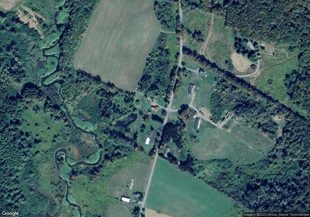
Map
Nearby Homes
- 1894 County Highway 19
- 2085 Co Rd 19
- 2085 Cr19
- 6431 New York 51
- 205 Arnold Rd
- 7412 State Highway 51
- 595 Summit Lake Rd
- 0 Talbot Rd Unit S1670628
- 1WP Talbot Rd
- 0WP Talbot Rd Unit 1
- 175 Hovick Rd
- 793 County Highway 19
- 0 Bolton Rd Unit R1665986
- 279 Frost Hill Rd
- 155 John Hill Rd
- 0 Pritchard Rd
- 0 Co Hwy 16 Unit R1668658
- 5626 New York 51
- 5626 State Highway 51
- 369 Louie Dickinson Rd
- 412 Munson Rd
- 452 Munson Rd
- 1895 County Highway 19
- 6755 State Highway 51
- 6775 State Highway 51
- 6775 State Highway 51
- 1907 County Highway 19
- 6711 State Highway 51
- 1867 County Highway 19
- 1837 County Highway 19
- 6823 State Highway 51
- 6683 State Highway 51
- 6858 State Highway 51
- 6671 New York 51
- 1810 County Highway 19
- 6640 State Highway 51
- 1780 County Highway 19
Your Personal Tour Guide
Ask me questions while you tour the home.