4241 Highway 212 Covington, GA 30016
Estimated Value: $235,736 - $317,000
About This Home
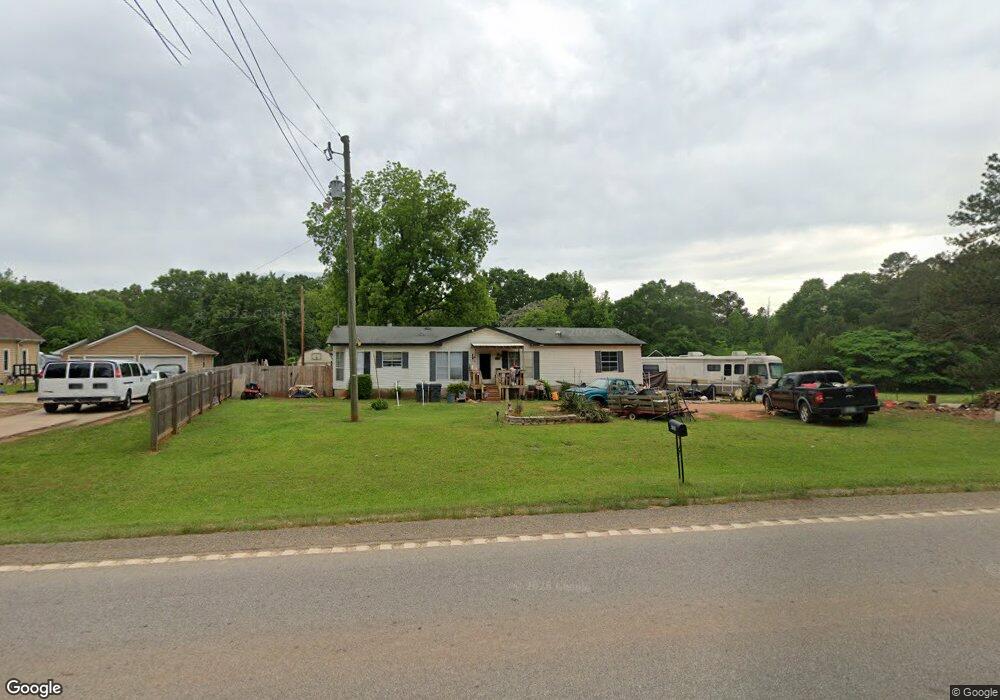
This home is located at 4241 Highway 212, Covington, GA 30016 and is currently estimated at $267,434, approximately $149 per square foot. 4241 Highway 212 is a home located in Newton County with nearby schools including Oak Hill Elementary School, Veterans Memorial Middle School, and Alcovy High School.
Ownership History
We collect this data history from publicly available records. To have your information removed, we recommend requesting removal directly through your county’s website.
Purchase Details
Purchase Details
Purchase Details
Home Values in the Area
Average Home Value in this Area
Purchase History
We collect this data history from publicly available records. To have your information removed, we recommend requesting removal directly through your county’s website.
| Date | Buyer | Sale Price | Title Company |
|---|---|---|---|
| $26,000 | -- | ||
| -- | -- | ||
| -- | -- |
Tax History
We collect this data history from publicly available records. To have your information removed, we recommend requesting removal directly through your county’s website.
| Year | Tax Paid | Tax Assessment Tax Assessment Total Assessment is a certain percentage of the fair market value that is determined by local assessors to be the total taxable value of land and additions on the property. | Land | Improvement |
|---|---|---|---|---|
| 2025 | $1,063 | $86,520 | $11,200 | $75,320 |
| 2024 | $969 | $79,840 | $7,400 | $72,440 |
| 2023 | $1,087 | $69,080 | $7,400 | $61,680 |
| 2022 | $740 | $56,280 | $7,400 | $48,880 |
| 2021 | $519 | $46,240 | $7,400 | $38,840 |
| 2020 | $278 | $37,480 | $7,200 | $30,280 |
| 2019 | $1,251 | $36,680 | $7,200 | $29,480 |
| 2018 | $1,211 | $35,280 | $7,200 | $28,080 |
| 2017 | $1,042 | $30,360 | $5,400 | $24,960 |
| 2016 | $1,071 | $31,200 | $9,000 | $22,200 |
| 2015 | $1,026 | $29,880 | $9,000 | $20,880 |
| 2014 | $1,080 | $31,560 | $0 | $0 |
Map
- 4408 Highway 212
- 5506 Highway 81 S
- 143 Covered Bridge Rd
- 161 Covered Bridge Rd
- 4627 Highway 212
- 4627 Hwy 212
- 3282 Old Snapping Shoals Rd
- 406 Covered Bridge Rd
- 1087 Crown Landing Pkwy
- 390 Lummus Rd
- 235 Lummus Rd
- 575 Covered Bridge Rd
- 127 Covered Bridge Rd
- 119 Covered Bridge Rd
- 90 Harvey Ave
- 15 Barcelona Dr
- 15 Granville Ln
- 10 Tarrington Ln
- 40 Granville Ln
- 205 White Birch Dr
- 4241 Highway 212
- 4227 Highway 212
- 4227 Highway 212
- 4237 Highway 212
- 4215 Highway 212
- 4271 Highway 212
- 4271 Georgia 212
- 4227 Georgia 212
- 4207 Highway 212
- 4303 Highway 212
- 4206 Highway 212
- 4248 Highway 212
- 4310 Highway 212
- 4310 Georgia 212
- 5672 Highway 81 S
- 48 Covered Bridge Rd
- 4134 Highway 212
- 4134 Highway 212
- 0 Covered Bridge Rd Unit 6078916
- 0 Covered Bridge Rd Unit 8460777
Ask me questions while you tour the home.