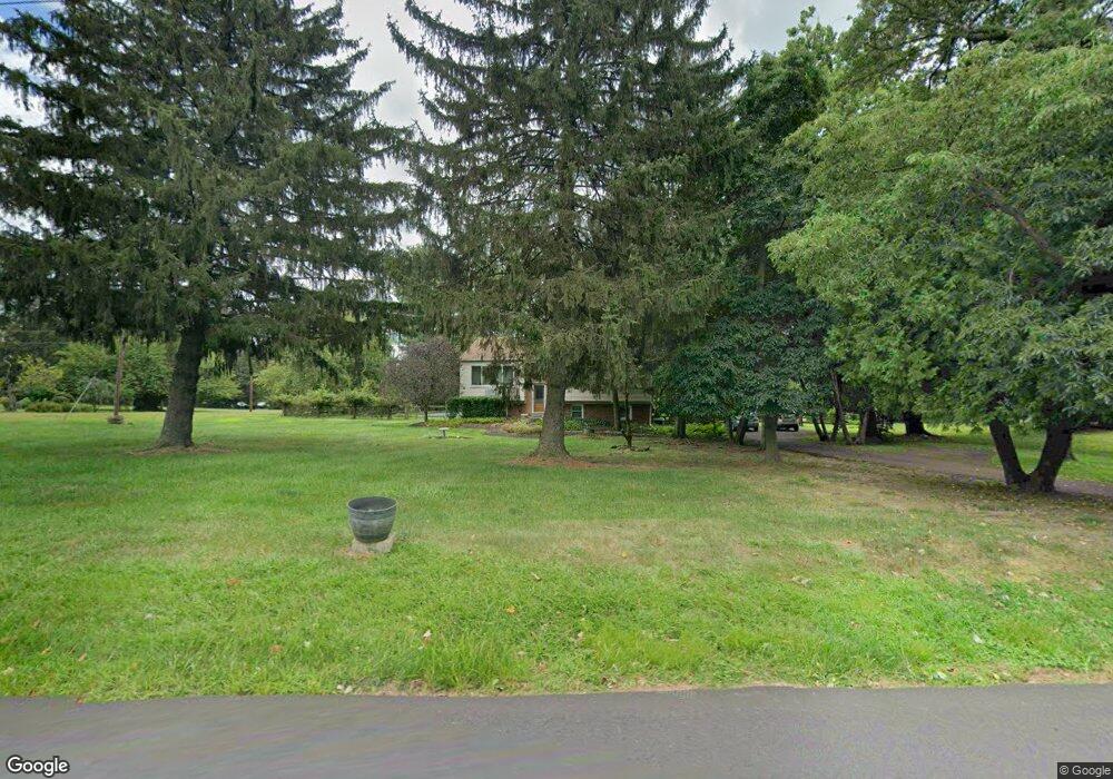
427 Upper Stump Rd Chalfont, PA 18914
Estimated Value: $357,000 - $466,000
2
Beds
2
Baths
1,148
Sq Ft
$372/Sq Ft
Est. Value
About This Home
This home is located at 427 Upper Stump Rd, Chalfont, PA 18914 and is currently estimated at $427,500, approximately $372 per square foot. 427 Upper Stump Rd is a home located in Bucks County with nearby schools including Pennridge High School, Plumstead Christ School Peace Val, and St. Jude Catholic School.
Ownership History
Date
Name
Owned For
Owner Type
Purchase Details
Closed on
Jun 17, 2002
Sold by
Winfield Earl E and Winfield Marilyn D
Bought by
Winfield Earl E and Matchette Winfield Marilyn D
Current Estimated Value
Home Financials for this Owner
Home Financials are based on the most recent Mortgage that was taken out on this home.
Original Mortgage
$185,000
Interest Rate
6.92%
Purchase Details
Closed on
Jul 8, 1998
Sold by
Winfield Earl E
Bought by
Winfield Earl E and Winfield Marilyn M
Home Financials for this Owner
Home Financials are based on the most recent Mortgage that was taken out on this home.
Original Mortgage
$123,000
Interest Rate
6.98%
Create a Home Valuation Report for This Property
The Home Valuation Report is an in-depth analysis detailing your home's value as well as a comparison with similar homes in the area
Home Values in the Area
Average Home Value in this Area
Purchase History
We collect this data history from publicly available records. To have your information removed, we recommend requesting removal directly through your county’s website.
| Date | Buyer | Sale Price | Title Company |
|---|---|---|---|
| Winfield Earl E | -- | -- | |
| Winfield Earl E | -- | -- |
Source: Public Records
Mortgage History
We collect this data history from publicly available records. To have your information removed, we recommend requesting removal directly through your county’s website.
| Date | Status | Borrower | Loan Amount |
|---|---|---|---|
| Closed | Winfield Earl E | $185,000 | |
| Closed | Winfield Earl E | $123,000 |
Source: Public Records
Tax History
| Year | Tax Paid | Tax Assessment Tax Assessment Total Assessment is a certain percentage of the fair market value that is determined by local assessors to be the total taxable value of land and additions on the property. | Land | Improvement |
|---|---|---|---|---|
| 2025 | $4,664 | $27,200 | $5,840 | $21,360 |
| 2024 | $4,664 | $27,200 | $5,840 | $21,360 |
| 2023 | $4,609 | $27,200 | $5,840 | $21,360 |
| 2022 | $4,609 | $27,200 | $5,840 | $21,360 |
| 2021 | $4,609 | $27,200 | $5,840 | $21,360 |
| 2020 | $4,609 | $27,200 | $5,840 | $21,360 |
| 2019 | $4,582 | $27,200 | $5,840 | $21,360 |
| 2018 | $4,582 | $27,200 | $5,840 | $21,360 |
| 2017 | $4,548 | $27,200 | $5,840 | $21,360 |
| 2016 | $4,548 | $27,200 | $5,840 | $21,360 |
| 2015 | -- | $27,200 | $5,840 | $21,360 |
| 2014 | -- | $27,200 | $5,840 | $21,360 |
Source: Public Records
Map
Nearby Homes
- 511 Upper Stump Rd
- 216 Upper Stump Rd
- 734 Skunk Hollow Rd
- 1036 Azlen Ln
- 744 Broad St
- Lot 1 Upper Church Rd
- Lot 2 Upper Church Rd
- 1161 Upper Stump Rd
- 109 Richard Dr
- 345 Park Ave
- 8 Pleasant Ave
- 31 Farber Dr
- 1202 Hilltown Pike
- 5 Clover Ln
- 126 Megan Cir
- 157 Beckys Corner
- 28 W Hillcrest Ave
- 4 Brookdale Dr
- 292 Walter Rd
- 116 Longwood Cir
- 421 Upper Stump Rd
- 501 Upper Stump Rd
- 422 Upper Stump Rd
- 431 Upper Stump Rd
- 506 Upper Stump Rd
- 429 Upper Stump Rd
- 415 Upper Stump Rd
- 430 Upper Stump Rd
- 412 Upper Stump Rd
- 519 Upper Stump Rd
- 518 Upper Stump Rd
- 408 Upper Stump Rd
- 525 Upper Stump Rd
- 524 Upper Stump Rd
- 508 Upper Stump Rd
- 521 Upper Stump Rd
- 405 Skunk Hollow Rd
- 402 Upper Stump Rd
- 530 Upper Stump Rd
- 405 Upper Stump Rd
Your Personal Tour Guide
Ask me questions while you tour the home.