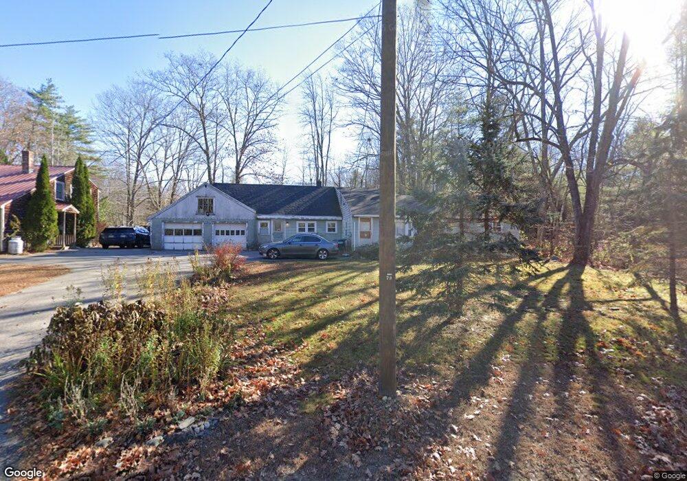
428 Cape Rd Standish, ME 04084
Estimated Value: $395,000 - $494,000
4
Beds
4
Baths
3,551
Sq Ft
$128/Sq Ft
Est. Value
About This Home
This home is located at 428 Cape Rd, Standish, ME 04084 and is currently estimated at $454,872, approximately $128 per square foot. 428 Cape Rd is a home with nearby schools including Bonny Eagle High School and Standish Baptist Academy.
Ownership History
Date
Name
Owned For
Owner Type
Purchase Details
Closed on
Mar 22, 2007
Sold by
Damon Waltraud I and Betty Patricia M
Bought by
Damon Waltraud I and Betty Patricia M
Current Estimated Value
Home Financials for this Owner
Home Financials are based on the most recent Mortgage that was taken out on this home.
Original Mortgage
$159,900
Outstanding Balance
$93,739
Interest Rate
6.33%
Mortgage Type
Unknown
Estimated Equity
$361,133
Create a Home Valuation Report for This Property
The Home Valuation Report is an in-depth analysis detailing your home's value as well as a comparison with similar homes in the area
Home Values in the Area
Average Home Value in this Area
Purchase History
We collect this data history from publicly available records. To have your information removed, we recommend requesting removal directly through your county’s website.
| Date | Buyer | Sale Price | Title Company |
|---|---|---|---|
| Damon Waltraud I | -- | -- |
Source: Public Records
Mortgage History
We collect this data history from publicly available records. To have your information removed, we recommend requesting removal directly through your county’s website.
| Date | Status | Borrower | Loan Amount |
|---|---|---|---|
| Open | Damon Waltraud I | $159,900 |
Source: Public Records
Tax History
| Year | Tax Paid | Tax Assessment Tax Assessment Total Assessment is a certain percentage of the fair market value that is determined by local assessors to be the total taxable value of land and additions on the property. | Land | Improvement |
|---|---|---|---|---|
| 2025 | $4,846 | $390,800 | $60,100 | $330,700 |
| 2024 | $4,691 | $372,300 | $55,500 | $316,800 |
| 2023 | $4,335 | $313,000 | $46,000 | $267,000 |
| 2022 | $3,920 | $271,300 | $40,900 | $230,400 |
| 2021 | $3,473 | $256,500 | $37,200 | $219,300 |
| 2019 | $3,571 | $249,700 | $35,700 | $214,000 |
| 2018 | $3,428 | $246,600 | $32,600 | $214,000 |
| 2017 | $3,267 | $246,600 | $32,600 | $214,000 |
| 2016 | $3,161 | $246,600 | $32,600 | $214,000 |
| 2015 | $3,154 | $246,600 | $32,600 | $214,000 |
| 2013 | -- | $246,600 | $32,600 | $214,000 |
Source: Public Records
Map
Nearby Homes
- TBD Saco Rd
- 58 Pinegrove Dr
- 21 Holiday Ln
- 9 Holiday Ln
- 5 Holiday Ln
- 500 Ossipee Trail W
- 544 Ossipee Trail W
- 14 Pelletier Dr
- 7 Pelletier Dr
- 157 Long Plains Rd
- 326 Ossipee Trail W Unit 3
- 39 Pequawket Trail
- 97 Old Standish Rd
- Lot 2 Commerce Way
- 360 River Rd
- 9 Macie Dr
- 7 Macie Dr
- 3 Cortland Place Unit 8
- 1 Cortland Place Unit 7
- 277 River Rd
Your Personal Tour Guide
Ask me questions while you tour the home.