429 E Davis St Bushnell, IL 61422
Estimated Value: $41,000 - $66,000
2
Beds
--
Bath
726
Sq Ft
$73/Sq Ft
Est. Value
About This Home
This home is located at 429 E Davis St, Bushnell, IL 61422 and is currently estimated at $52,699, approximately $72 per square foot. 429 E Davis St is a home located in McDonough County with nearby schools including Bushnell-Prairie City Elementary School, Bushnell-Prairie City Junior High School, and Bushnell-Prairie City High School.
Ownership History
Date
Name
Owned For
Owner Type
Purchase Details
Closed on
Apr 25, 2014
Sold by
Dejaynes Gretchen
Bought by
Rector Robert A
Current Estimated Value
Purchase Details
Closed on
Aug 13, 2005
Sold by
Newton D Kent
Bought by
Collins Albert E and Collins Tonya L
Purchase Details
Closed on
Feb 15, 2005
Sold by
Stanley Wilma J
Bought by
Stanley Wilma J and Wilma J Stanley Revocable Trust
Create a Home Valuation Report for This Property
The Home Valuation Report is an in-depth analysis detailing your home's value as well as a comparison with similar homes in the area
Home Values in the Area
Average Home Value in this Area
Purchase History
| Date | Buyer | Sale Price | Title Company |
|---|---|---|---|
| Rector Robert A | -- | None Available | |
| Collins Albert E | $15,000 | None Available | |
| Stanley Wilma J | -- | None Available |
Source: Public Records
Tax History
| Year | Tax Paid | Tax Assessment Tax Assessment Total Assessment is a certain percentage of the fair market value that is determined by local assessors to be the total taxable value of land and additions on the property. | Land | Improvement |
|---|---|---|---|---|
| 2024 | $821 | $8,927 | $1,875 | $7,052 |
| 2023 | $790 | $8,832 | $1,855 | $6,977 |
| 2022 | $719 | $7,984 | $1,677 | $6,307 |
| 2021 | $689 | $7,644 | $1,606 | $6,038 |
| 2020 | $698 | $9,119 | $1,583 | $7,536 |
| 2019 | $726 | $7,852 | $1,649 | $6,203 |
| 2018 | $725 | $8,017 | $1,684 | $6,333 |
| 2017 | $725 | $7,902 | $1,660 | $6,242 |
| 2016 | $681 | $7,307 | $1,535 | $5,772 |
| 2015 | $690 | $7,307 | $1,535 | $5,772 |
| 2014 | $195 | $7,196 | $1,512 | $5,684 |
| 2013 | $192 | $7,773 | $1,633 | $6,140 |
Source: Public Records
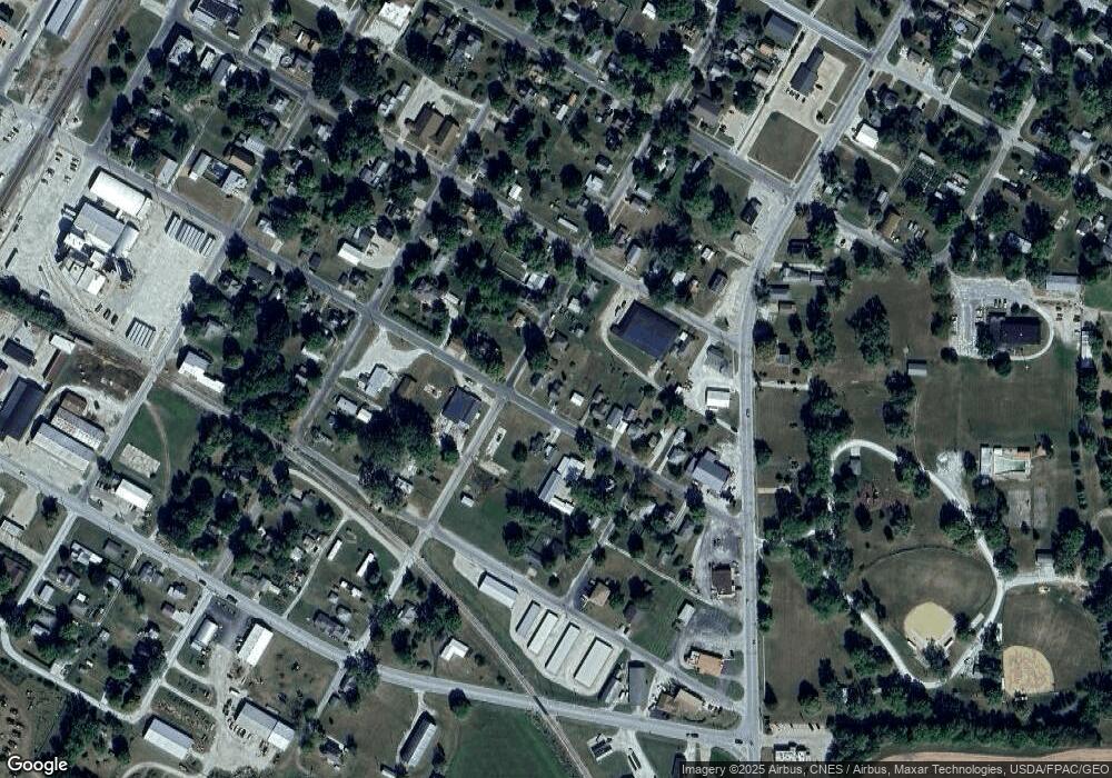
Map
Nearby Homes
- 394 E Hurst St
- 460 Cole St
- 560 N Crafford St
- 682 N Rile St
- 170 W Hurst St
- 165 W Twyman St
- 134 W Osborne St
- 460 W Gridley St
- 497 Walnut St
- 14 Hillcrest Dr
- 4 Hiel Dr
- 14 Hiel Dr
- 22561 N Cornerstone Rd
- 21740 N 1400th Rd
- 20620 N 2300 Rd
- 0 N Seven Hills Rd
- 235 N Smith St
- 15315 N 2200th Rd
- 0 Illinois 95
- 0 E State Route 95
- 445 E Davis St
- 409 E Davis St
- 244 N Sperry St
- 465 E Davis St
- 475 E Davis St
- 416 E Barnes St
- 245 N Sperry St
- 477 E Davis St
- 430 E Davis St
- 255 N Sperry St
- 446 E Davis St
- 209 N Sperry St
- 257 N Sperry St
- 495 E Davis St
- 486 E Barnes St
- 265 N Sperry St
- 297 N Sperry St
- 496 E Davis St
- 366 E Davis St
- 384 E Barnes St
Your Personal Tour Guide
Ask me questions while you tour the home.