Estimated Value: $333,888 - $410,000
Studio
2
Baths
1,700
Sq Ft
$225/Sq Ft
Est. Value
About This Home
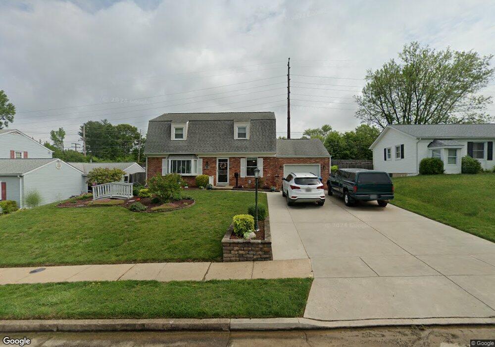
This home is located at 429 Haslett Rd, Joppa, MD 21085 and is currently estimated at $382,222, approximately $224 per square foot. 429 Haslett Rd is a home located in Harford County with nearby schools including Riverside Elementary School, Magnolia Middle School, and Joppatowne High School.
Ownership History
Date
Name
Owned For
Owner Type
Purchase Details
Closed on
Apr 30, 2014
Sold by
Musick Clara S
Bought by
Musick Raymond
Current Estimated Value
Purchase Details
Closed on
Oct 14, 2013
Sold by
Musick Clara S and Hunt Clara S
Bought by
Musick Raymond
Purchase Details
Closed on
Dec 13, 1999
Sold by
Hunt Carlin D
Bought by
Hunt Clara S
Purchase Details
Closed on
Dec 10, 1986
Sold by
Wiley E Dean
Bought by
Hunt Carlin D
Home Financials for this Owner
Home Financials are based on the most recent Mortgage that was taken out on this home.
Original Mortgage
$37,000
Interest Rate
9.3%
Create a Home Valuation Report for This Property
The Home Valuation Report is an in-depth analysis detailing your home's value as well as a comparison with similar homes in the area
Home Values in the Area
Average Home Value in this Area
Purchase History
| Date | Buyer | Sale Price | Title Company |
|---|---|---|---|
| Musick Raymond | -- | None Available | |
| Musick Raymond | -- | None Available | |
| Hunt Clara S | -- | -- | |
| Hunt Carlin D | $77,000 | -- |
Source: Public Records
Mortgage History
| Date | Status | Borrower | Loan Amount |
|---|---|---|---|
| Previous Owner | Hunt Carlin D | $37,000 |
Source: Public Records
Tax History
| Year | Tax Paid | Tax Assessment Tax Assessment Total Assessment is a certain percentage of the fair market value that is determined by local assessors to be the total taxable value of land and additions on the property. | Land | Improvement |
|---|---|---|---|---|
| 2025 | $2,388 | $282,567 | $0 | $0 |
| 2024 | $2,388 | $267,000 | $69,600 | $197,400 |
| 2023 | $2,792 | $256,200 | $0 | $0 |
| 2022 | $2,675 | $245,400 | $0 | $0 |
| 2021 | $2,707 | $234,600 | $69,600 | $165,000 |
| 2020 | $2,707 | $234,600 | $69,600 | $165,000 |
| 2019 | $2,707 | $234,600 | $69,600 | $165,000 |
| 2018 | $2,834 | $247,800 | $69,600 | $178,200 |
| 2017 | $2,754 | $247,800 | $0 | $0 |
| 2016 | -- | $233,800 | $0 | $0 |
| 2015 | $2,603 | $226,800 | $0 | $0 |
| 2014 | $2,603 | $226,800 | $0 | $0 |
Source: Public Records
Map
Nearby Homes
- 503 Glandel Ct
- 532 Riviera Dr Unit 532-B
- 509 Foster Knoll Dr
- 505 Foster Knoll Dr
- 603 Falconbridge Dr
- 215 Garnett Rd
- 112 Shell Cove Ct
- 902 Minglewood Ln
- 415 Shore Dr
- LOTS 2-6 Trimble Rd
- 427 Shore Dr
- TBD Trimble Rd
- 128 Ravenswood Ct
- 714 Joppa Farm Rd
- 413 Trimble Rd
- 259 Foster Knoll Dr
- 311 Summerfield Ct
- 562 Anchor Dr
- 688 Shore Dr
- 343 Hackley Dr
Your Personal Tour Guide
Ask me questions while you tour the home.