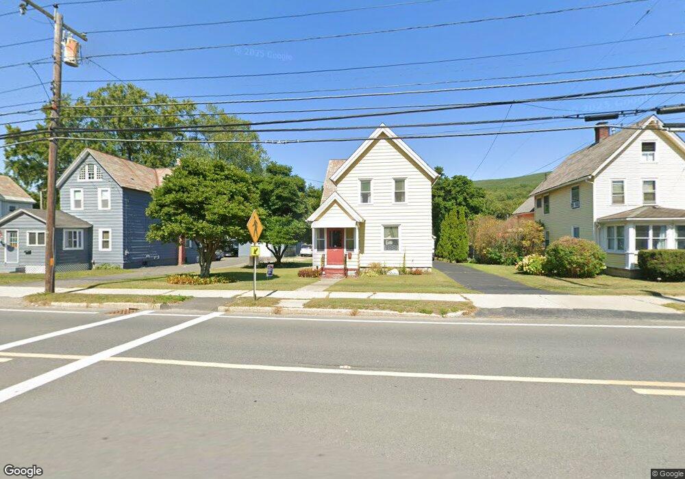
429 State Rd North Adams, MA 01247
Estimated Value: $215,522 - $242,000
3
Beds
1
Bath
1,216
Sq Ft
$186/Sq Ft
Est. Value
About This Home
This home is located at 429 State Rd, North Adams, MA 01247 and is currently estimated at $225,881, approximately $185 per square foot. 429 State Rd is a home located in Berkshire County with nearby schools including Greylock Elementary School, Drury High School, and Pine Cobble School.
Ownership History
Date
Name
Owned For
Owner Type
Purchase Details
Closed on
Mar 18, 2016
Sold by
Richer Alan E and Richer Kimberly S
Bought by
Richer Alan E
Current Estimated Value
Purchase Details
Closed on
Nov 7, 1994
Sold by
Bourke Joanne L and Koczela Leona R
Bought by
Richer Alan E and Richer Kimberly S
Home Financials for this Owner
Home Financials are based on the most recent Mortgage that was taken out on this home.
Original Mortgage
$77,310
Interest Rate
8.71%
Mortgage Type
Purchase Money Mortgage
Create a Home Valuation Report for This Property
The Home Valuation Report is an in-depth analysis detailing your home's value as well as a comparison with similar homes in the area
Home Values in the Area
Average Home Value in this Area
Purchase History
We collect this data history from publicly available records. To have your information removed, we recommend requesting removal directly through your county’s website.
| Date | Buyer | Sale Price | Title Company |
|---|---|---|---|
| Richer Alan E | -- | -- | |
| Richer Alan E | $77,350 | -- |
Source: Public Records
Mortgage History
We collect this data history from publicly available records. To have your information removed, we recommend requesting removal directly through your county’s website.
| Date | Status | Borrower | Loan Amount |
|---|---|---|---|
| Previous Owner | Richer Alan E | $104,000 | |
| Previous Owner | Richer Alan E | $74,400 | |
| Previous Owner | Richer Alan E | $7,000 | |
| Previous Owner | Richer Alan E | $77,310 |
Source: Public Records
Tax History
| Year | Tax Paid | Tax Assessment Tax Assessment Total Assessment is a certain percentage of the fair market value that is determined by local assessors to be the total taxable value of land and additions on the property. | Land | Improvement |
|---|---|---|---|---|
| 2025 | $3,018 | $180,600 | $35,400 | $145,200 |
| 2024 | $2,789 | $162,700 | $32,400 | $130,300 |
| 2023 | $2,677 | $151,500 | $32,400 | $119,100 |
| 2022 | $2,437 | $131,500 | $32,400 | $99,100 |
| 2021 | $2,269 | $121,900 | $30,000 | $91,900 |
| 2020 | $2,177 | $116,900 | $29,800 | $87,100 |
| 2019 | $2,093 | $109,500 | $29,800 | $79,700 |
| 2018 | $2,016 | $109,700 | $31,400 | $78,300 |
| 2017 | $1,919 | $108,600 | $31,100 | $77,500 |
| 2016 | $1,862 | $107,100 | $31,100 | $76,000 |
| 2015 | $1,839 | $110,200 | $32,100 | $78,100 |
Source: Public Records
Map
Nearby Homes
- 25 Taft St
- 31 Taft St
- 520 State Rd Unit 309
- 520 State Rd Unit 303
- 520 State Rd Unit 402
- 520 State Rd Unit 208
- 63 Addison St
- 1 State Rd
- 196 Phelps Ave
- 367 Notch Rd
- 447 Notch Rd
- 32 Notch Rd
- 34 Goodrich St
- 422 W Main St
- 14 Charles St
- 0 Reservoir Rd
- Lots 2A-3A Reservoir Rd
- Lot 16 Reservoir Rd
- lots 2A&3A Reservoir Rd
- 0 Reservoir Rd Unit 16
Your Personal Tour Guide
Ask me questions while you tour the home.