43 Compton Ct Basking Ridge, NJ 07920
Estimated Value: $1,018,134 - $1,171,000
Studio
--
Bath
2,510
Sq Ft
$437/Sq Ft
Est. Value
About This Home
This home is located at 43 Compton Ct, Basking Ridge, NJ 07920 and is currently estimated at $1,097,034, approximately $437 per square foot. 43 Compton Ct is a home located in Somerset County with nearby schools including Liberty Corner Elementary School, William Annin Middle School, and Ridge High School.
Ownership History
Date
Name
Owned For
Owner Type
Purchase Details
Closed on
Nov 30, 2007
Sold by
Martin Malverse A and Martin Rosalind B
Bought by
Mathias Reuben and Alexandre Mathias Marie Marcelle
Current Estimated Value
Home Financials for this Owner
Home Financials are based on the most recent Mortgage that was taken out on this home.
Original Mortgage
$180,000
Interest Rate
6.48%
Mortgage Type
Purchase Money Mortgage
Create a Home Valuation Report for This Property
The Home Valuation Report is an in-depth analysis detailing your home's value as well as a comparison with similar homes in the area
Home Values in the Area
Average Home Value in this Area
Purchase History
| Date | Buyer | Sale Price | Title Company |
|---|---|---|---|
| Mathias Reuben | $760,000 | None Available |
Source: Public Records
Mortgage History
| Date | Status | Borrower | Loan Amount |
|---|---|---|---|
| Closed | Mathias Reuben | $180,000 |
Source: Public Records
Tax History
| Year | Tax Paid | Tax Assessment Tax Assessment Total Assessment is a certain percentage of the fair market value that is determined by local assessors to be the total taxable value of land and additions on the property. | Land | Improvement |
|---|---|---|---|---|
| 2025 | $15,390 | $930,700 | $370,200 | $560,500 |
| 2024 | $15,401 | $865,100 | $340,200 | $524,900 |
| 2023 | $15,401 | $816,600 | $340,200 | $476,400 |
| 2022 | $14,819 | $736,900 | $310,200 | $426,700 |
| 2021 | $14,945 | $708,300 | $295,200 | $413,100 |
| 2020 | $14,614 | $697,900 | $303,600 | $394,300 |
| 2019 | $13,624 | $669,800 | $303,600 | $366,200 |
| 2018 | $13,379 | $667,300 | $303,600 | $363,700 |
| 2017 | $13,394 | $673,400 | $303,600 | $369,800 |
| 2016 | $13,222 | $677,700 | $303,600 | $374,100 |
| 2015 | $13,054 | $681,300 | $308,600 | $372,700 |
| 2014 | $12,455 | $644,000 | $308,600 | $335,400 |
Source: Public Records
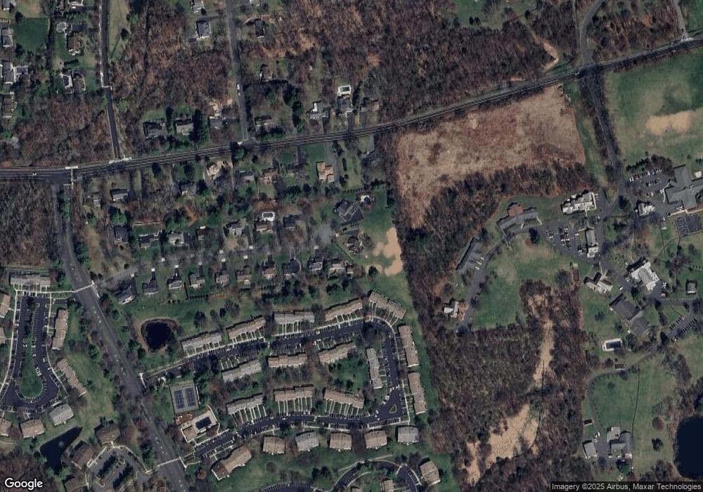
Map
Nearby Homes
- 164 Woodward Ln
- 289 English Place Unit A3
- 254 Penns Way
- 327 Penns Way
- 327 Penns Way Unit 1
- 275 Crabtree Ct
- 341 Penns Way Unit D2
- 347 Penns Way
- 28 Lafayette Ln
- 59 Sycamore Ct Ondo
- 3702 Balsam Way
- 59 Manor Dr
- 195 Alexandria Way
- 92 Shannon Hill Rd
- 7 Valley View Dr
- 27 Potomac Dr
- 78 Potomac Dr Ondo
- 22 Alexandria Way
- 25 Carriage Way
- 168 Potomac Dr Condo Unit 168
- 41 Compton Ct
- 40 Compton Ct
- 57 Woodward Ln Unit A
- 58 Woodward Ln
- 56 Woodward Ln
- 59 Woodward Ln Unit 17C
- 55 Woodward Ln
- 60 Woodward Ln
- 54 Woodward Ln
- 61 Woodward Ln
- 53 Woodward Ln
- 52 Woodward Ln
- 62 Woodward Ln Unit 17F
- 36 Compton Ct
- 51 Woodward Ln
- 3447 Valley Rd
- 63 Woodward Ln
- 33 Compton Ct
- 50 Woodward Ln
- 64 Woodward Ln Unit 17H
Your Personal Tour Guide
Ask me questions while you tour the home.