43 Hillcrest St Dunstable, MA 01827
Estimated Value: $767,000 - $948,000
6
Beds
3
Baths
2,601
Sq Ft
$315/Sq Ft
Est. Value
About This Home
This home is located at 43 Hillcrest St, Dunstable, MA 01827 and is currently estimated at $819,083, approximately $314 per square foot. 43 Hillcrest St is a home located in Middlesex County with nearby schools including Groton Dunstable Regional High School and Academy of Notre Dame - Upper School.
Ownership History
Date
Name
Owned For
Owner Type
Purchase Details
Closed on
Oct 20, 2000
Sold by
Brew Richard J and Brew Mary A
Bought by
Lentz Susan Jane
Current Estimated Value
Create a Home Valuation Report for This Property
The Home Valuation Report is an in-depth analysis detailing your home's value as well as a comparison with similar homes in the area
Home Values in the Area
Average Home Value in this Area
Purchase History
| Date | Buyer | Sale Price | Title Company |
|---|---|---|---|
| Lentz Susan Jane | $300,000 | -- |
Source: Public Records
Mortgage History
| Date | Status | Borrower | Loan Amount |
|---|---|---|---|
| Previous Owner | Lentz Susan Jane | $40,000 |
Source: Public Records
Tax History
| Year | Tax Paid | Tax Assessment Tax Assessment Total Assessment is a certain percentage of the fair market value that is determined by local assessors to be the total taxable value of land and additions on the property. | Land | Improvement |
|---|---|---|---|---|
| 2025 | $9,027 | $656,500 | $234,100 | $422,400 |
| 2024 | $8,580 | $614,600 | $212,900 | $401,700 |
| 2023 | $8,458 | $565,000 | $212,900 | $352,100 |
| 2022 | $7,829 | $513,400 | $212,900 | $300,500 |
| 2021 | $7,754 | $472,500 | $194,100 | $278,400 |
| 2020 | $7,773 | $461,600 | $194,100 | $267,500 |
| 2019 | $7,619 | $446,600 | $194,100 | $252,500 |
| 2018 | $6,458 | $426,500 | $191,700 | $234,800 |
| 2017 | $7,167 | $421,100 | $191,700 | $229,400 |
| 2016 | $6,848 | $413,800 | $183,500 | $230,300 |
| 2015 | $6,578 | $393,200 | $155,800 | $237,400 |
| 2014 | $6,201 | $393,200 | $155,800 | $237,400 |
Source: Public Records
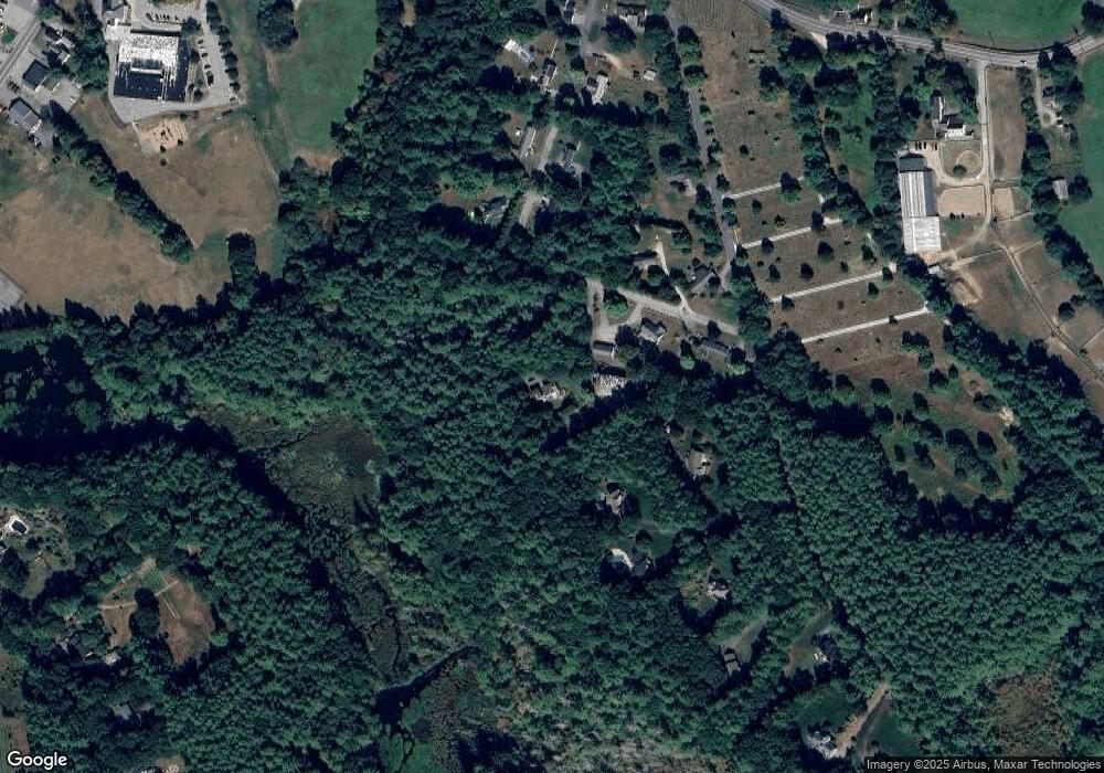
Map
Nearby Homes
- 0 Lowell St
- 5 Mill St
- 57 French Ct
- 473 High St
- 10 Strawberry Bank Rd Unit 2
- 11 Strawberry Bank Rd Unit U17
- 38 Georgetown Dr
- 11 Lojko Dr
- 160 Westford Rd
- 12 Mountain Laurels Dr Unit 204
- 12 Mountain Laurels Dr Unit 402
- 58 Wilderness Dr
- 1 Doucet Ave
- 77 Wilderness Dr
- 4 Heritage Village Dr
- 13 Wilderness Dr
- 2 Wilderness Dr
- 4 Wilderness Dr
- 79 Wilderness Dr
- 8 Wilderness Dr
Your Personal Tour Guide
Ask me questions while you tour the home.