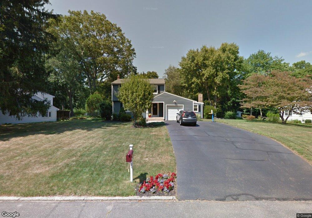
43 Purdy Rd E Norwalk, CT 06850
Broad River NeighborhoodEstimated Value: $725,760 - $802,000
3
Beds
2
Baths
1,765
Sq Ft
$432/Sq Ft
Est. Value
About This Home
This home is located at 43 Purdy Rd E, Norwalk, CT 06850 and is currently estimated at $762,690, approximately $432 per square foot. 43 Purdy Rd E is a home located in Fairfield County with nearby schools including Silvermine Elementary School, West Rocks Middle School, and Norwalk High School.
Ownership History
Date
Name
Owned For
Owner Type
Purchase Details
Closed on
Jul 1, 2004
Sold by
Burke William J and Burke Lynn I
Bought by
Pados Kelly A
Current Estimated Value
Purchase Details
Closed on
Jun 30, 1999
Sold by
Lanier Kenneth A and Lanier Vicki J
Bought by
Burke William J and Burke Lynn
Purchase Details
Closed on
Jul 16, 1996
Sold by
Vaast Peter F and Vaast Janet N
Bought by
Lanier Kenneth
Create a Home Valuation Report for This Property
The Home Valuation Report is an in-depth analysis detailing your home's value as well as a comparison with similar homes in the area
Home Values in the Area
Average Home Value in this Area
Purchase History
| Date | Buyer | Sale Price | Title Company |
|---|---|---|---|
| Pados Kelly A | $565,000 | -- | |
| Pados Kelly A | $565,000 | -- | |
| Burke William J | $314,500 | -- | |
| Burke William J | $314,500 | -- | |
| Lanier Kenneth | $267,000 | -- | |
| Lanier Kenneth | $267,000 | -- |
Source: Public Records
Mortgage History
| Date | Status | Borrower | Loan Amount |
|---|---|---|---|
| Open | Lanier Kenneth | $300,600 | |
| Closed | Lanier Kenneth | $320,000 |
Source: Public Records
Tax History
| Year | Tax Paid | Tax Assessment Tax Assessment Total Assessment is a certain percentage of the fair market value that is determined by local assessors to be the total taxable value of land and additions on the property. | Land | Improvement |
|---|---|---|---|---|
| 2025 | $9,581 | $403,600 | $181,290 | $222,310 |
| 2024 | $9,434 | $403,600 | $181,290 | $222,310 |
| 2023 | $8,339 | $334,000 | $166,170 | $167,830 |
| 2022 | $8,208 | $334,000 | $166,170 | $167,830 |
| 2021 | $6,984 | $334,000 | $166,170 | $167,830 |
| 2020 | $7,884 | $334,000 | $166,170 | $167,830 |
| 2019 | $7,615 | $334,000 | $166,170 | $167,830 |
| 2018 | $7,776 | $299,870 | $186,280 | $113,590 |
| 2017 | $7,504 | $299,870 | $186,280 | $113,590 |
| 2016 | $7,629 | $299,870 | $186,280 | $113,590 |
| 2015 | $6,852 | $299,870 | $186,280 | $113,590 |
| 2014 | $7,509 | $299,870 | $186,280 | $113,590 |
Source: Public Records
Map
Nearby Homes
- 10 Purdy Rd
- 116 Silvermine Ave
- 4 Nursery St
- 16 Cornwall Rd
- 7 Lycett Ct
- 403 Silver Creek Ln
- 234 Silvermine Ave
- 106A Comstock Hill Ave
- 28 Silvermine Ave
- 5 Lakeview Dr
- 8 Bartlett Manor
- 7 Douglas Dr
- 5 Tower Dr
- 1 Douglas Dr
- 51 Plattsville Ave
- 153 Fillow St
- 150 Fillow St
- 135 Comstock Hill Rd
- 18 Chester St
- 1 Linden St Unit A-9
Your Personal Tour Guide
Ask me questions while you tour the home.