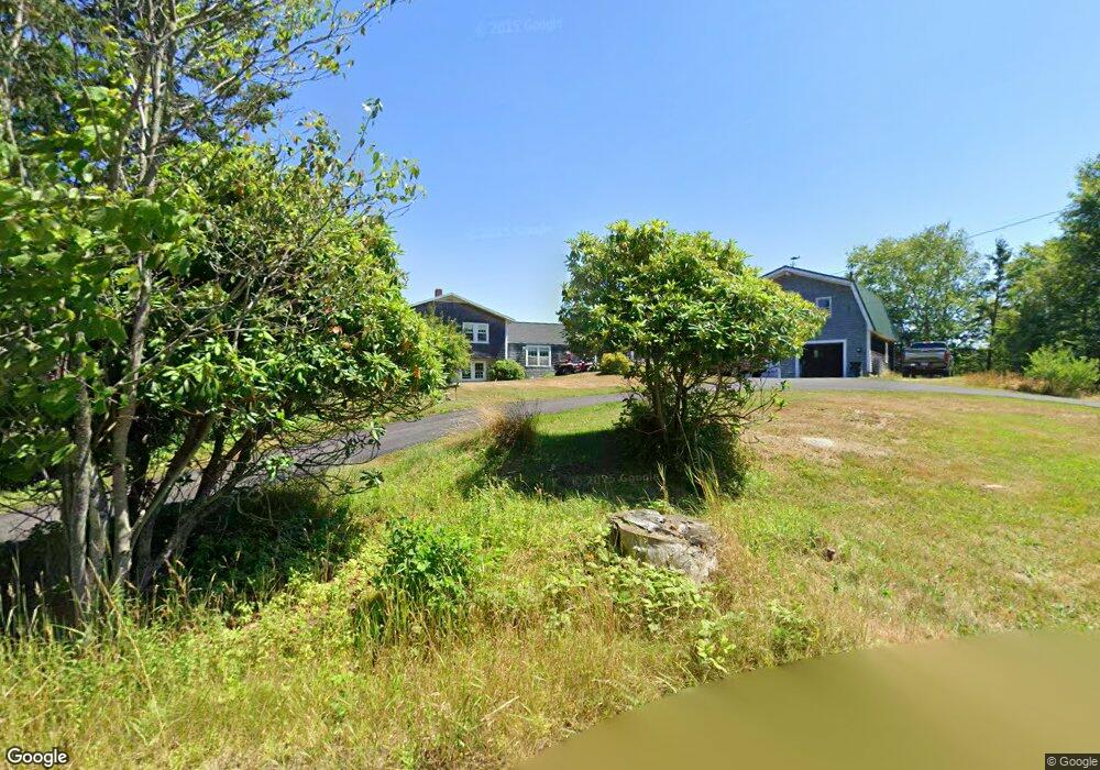
430 Cape Split Rd Addison, ME 04606
Estimated Value: $318,453 - $508,000
3
Beds
1
Bath
1,556
Sq Ft
$266/Sq Ft
Est. Value
About This Home
This home is located at 430 Cape Split Rd, Addison, ME 04606 and is currently estimated at $413,863, approximately $265 per square foot. 430 Cape Split Rd is a home.
Ownership History
Date
Name
Owned For
Owner Type
Purchase Details
Closed on
Jul 21, 2015
Sold by
Thompson David W and Thompson Shelba
Bought by
Thompson David W and Thompson Shelba J
Current Estimated Value
Purchase Details
Closed on
Jun 10, 2013
Sold by
Thompson Martha B
Bought by
Thompson David W and Thompson Shelba
Create a Home Valuation Report for This Property
The Home Valuation Report is an in-depth analysis detailing your home's value as well as a comparison with similar homes in the area
Purchase History
| Date | Buyer | Sale Price | Title Company |
|---|---|---|---|
| Thompson David W | -- | -- | |
| Thompson David W | -- | -- |
Source: Public Records
Tax History
| Year | Tax Paid | Tax Assessment Tax Assessment Total Assessment is a certain percentage of the fair market value that is determined by local assessors to be the total taxable value of land and additions on the property. | Land | Improvement |
|---|---|---|---|---|
| 2025 | $3,378 | $175,000 | $63,500 | $111,500 |
| 2024 | $3,276 | $175,000 | $63,500 | $111,500 |
| 2023 | $3,014 | $175,000 | $63,500 | $111,500 |
| 2022 | $2,855 | $172,000 | $60,500 | $111,500 |
| 2021 | $2,855 | $172,000 | $60,500 | $111,500 |
| 2020 | $2,752 | $172,000 | $60,500 | $111,500 |
| 2019 | $2,735 | $172,000 | $60,500 | $111,500 |
| 2018 | $2,735 | $172,000 | $60,500 | $111,500 |
| 2017 | $2,735 | $172,000 | $60,500 | $111,500 |
| 2016 | $2,511 | $172,000 | $60,500 | $111,500 |
| 2015 | $2,468 | $172,000 | $60,500 | $111,500 |
| 2014 | $2,301 | $171,700 | $60,200 | $111,500 |
| 2013 | -- | $172,000 | $60,200 | $111,800 |
Source: Public Records
Map
Nearby Homes
- 397 Cape Split Rd
- 00 Eagle Island
- 780 E Side Rd
- M17L21 Basin Rd
- map 17 Basin Rd Unit lot 24
- 251 Ripley Neck Rd
- Lot 15-5 Fort Williams Rd
- Lot # 15-2 Fort Williams Rd
- Lot B Fort Williams Rd
- 0 Pomp Island Unit 1652405
- 29 Reef Point Rd
- Lot 13 Reef Point Rd
- Lot 12 Reef Point Rd
- M20L2 E Side Rd
- 100 Hardwood Point
- 16 & 18 Nelson Way
- Lot 25-3 Flat Bay Dr
- 337 W Side Rd
- 33 Barneys Cove Rd
- Lot #8 Seaberry Landing Rd
- 0Unk Gillman Wass Ln
- 1 Gilman Wass Rd
- 3 Gilman Wass Rd
- 440 Cape Split Rd
- 434 Cape Split Rd
- Lot 18 Gilman Wass Rd
- 26 Kiye Point
- 22 Kiye Point
- 9 Gilman Wass Rd
- 452 Cape Split Rd
- 17 Kiye Point
- 456 Cape Split Rd
- 10 Kiye Point
- 10 Bar Hill Dr
- 18 Dyers Point Ln
- 27 Gilman Wass Rd
- 15 Dyers Point Ln
- 401 Cape Split Rd
- 432 Cape Split Rd
- 16 Kiye Point
Your Personal Tour Guide
Ask me questions while you tour the home.