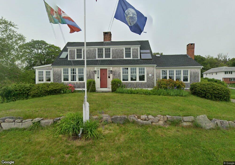
430 River Rd Pawcatuck, CT 06379
Estimated Value: $1,294,000 - $1,496,000
About This Home
This home is located at 430 River Rd, Pawcatuck, CT 06379 and is currently estimated at $1,355,169, approximately $753 per square foot. 430 River Rd is a home located in New London County with nearby schools including Stonington Middle School, Stonington High School, and St. Michael School.
Ownership History
We collect this data history from publicly available records. To have your information removed, we recommend requesting removal directly through your county’s website.
Purchase Details
Home Values in the Area
Average Home Value in this Area
Purchase History
We collect this data history from publicly available records. To have your information removed, we recommend requesting removal directly through your county’s website.
| Date | Buyer | Sale Price | Title Company |
|---|---|---|---|
| $657,000 | -- | ||
| $657,000 | -- |
Mortgage History
We collect this data history from publicly available records. To have your information removed, we recommend requesting removal directly through your county’s website.
| Date | Status | Borrower | Loan Amount |
|---|---|---|---|
| Previous Owner | $109,000 |
Tax History
We collect this data history from publicly available records. To have your information removed, we recommend requesting removal directly through your county’s website.
| Year | Tax Paid | Tax Assessment Tax Assessment Total Assessment is a certain percentage of the fair market value that is determined by local assessors to be the total taxable value of land and additions on the property. | Land | Improvement |
|---|---|---|---|---|
| 2025 | $14,091 | $735,800 | $446,300 | $289,500 |
| 2024 | $13,487 | $735,800 | $446,300 | $289,500 |
| 2023 | $13,362 | $735,800 | $446,300 | $289,500 |
| 2022 | $13,803 | $563,600 | $379,500 | $184,100 |
| 2021 | $13,505 | $547,000 | $379,500 | $167,500 |
| 2020 | $1,394 | $547,000 | $379,500 | $167,500 |
| 2019 | $13,309 | $547,000 | $379,500 | $167,500 |
| 2018 | $12,860 | $547,000 | $379,500 | $167,500 |
| 2017 | $12,703 | $532,400 | $396,700 | $135,700 |
| 2016 | $12,277 | $532,400 | $396,700 | $135,700 |
| 2015 | $11,750 | $532,400 | $396,700 | $135,700 |
| 2014 | $11,276 | $532,400 | $396,700 | $135,700 |
Map
- 417 River Rd
- 39 Avondale Rd
- 43 Avondale Rd
- 60 Avondale Rd
- 0 Green Ave
- 6 Fox Run Run
- 4 Quail Run
- 4 Shore Rd
- 61 Stewart Rd
- 111 Avondale Rd
- 18 No Bottom Ridge Ridge
- 26 Windward Dr
- 23 Summertime Cir
- 32 Summertime Cir
- 13 No Bottom Ridge Rd
- 5 Pasadena Ave
- 8 Pasadena Ave
- 18 E Hills Rd
- 174 River Rd
- 20 Browning Rd
- 607 Greenhaven Rd
- 426 River Rd
- 606 Greenhaven Rd
- 10 Sunrise Ave
- 599 Greenhaven Rd
- 14 Sunrise Ave
- 0 Riverside Dr
- 7 Riverside Dr
- 595 Greenhaven Rd
- 405 River Rd
- 6 Riverside Dr
- 589 Greenhaven Rd
- 30 Sunrise Ave
- 21 Sunrise Ave
- 13 Riverside Dr
- 23 Sunrise Ave
- 16 Riverside Dr
- 583 Greenhaven Rd
- 396 River Rd
- 565 Greenhaven Rd
Ask me questions while you tour the home.