4301 Day Rd Cincinnati, OH 45252
Estimated Value: $354,000 - $479,000
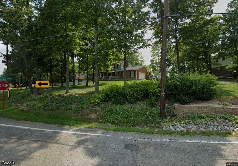
About This Home
This home is located at 4301 Day Rd, Cincinnati, OH 45252 and is currently estimated at $397,429, approximately $178 per square foot. 4301 Day Rd is a home located in Hamilton County with nearby schools including Colerain Elementary School, Colerain Middle School, and Colerain High School.
Ownership History
We collect this data history from publicly available records. To have your information removed, we recommend requesting removal directly through your county’s website.
Purchase Details
Purchase Details
Purchase Details
Home Values in the Area
Average Home Value in this Area
Purchase History
We collect this data history from publicly available records. To have your information removed, we recommend requesting removal directly through your county’s website.
| Date | Buyer | Sale Price | Title Company |
|---|---|---|---|
| -- | None Available | ||
| -- | None Available | ||
| $139,000 | -- |
Tax History
We collect this data history from publicly available records. To have your information removed, we recommend requesting removal directly through your county’s website.
| Year | Tax Paid | Tax Assessment Tax Assessment Total Assessment is a certain percentage of the fair market value that is determined by local assessors to be the total taxable value of land and additions on the property. | Land | Improvement |
|---|---|---|---|---|
| 2025 | $4,942 | $85,670 | $17,455 | $68,215 |
| 2024 | $4,587 | $85,670 | $17,455 | $68,215 |
| 2023 | $4,611 | $85,670 | $17,455 | $68,215 |
| 2022 | $4,262 | $64,590 | $17,623 | $46,967 |
| 2021 | $4,229 | $64,590 | $17,623 | $46,967 |
| 2020 | $4,269 | $64,590 | $17,623 | $46,967 |
| 2019 | $4,315 | $60,932 | $16,625 | $44,307 |
| 2018 | $3,871 | $57,841 | $16,625 | $41,216 |
| 2017 | $3,474 | $57,841 | $16,625 | $41,216 |
| 2016 | $3,333 | $54,765 | $16,293 | $38,472 |
| 2015 | $3,366 | $54,765 | $16,293 | $38,472 |
| 2014 | $3,372 | $54,765 | $16,293 | $38,472 |
| 2013 | $3,275 | $55,881 | $16,625 | $39,256 |
Map
- 10263 Colerain Ave
- 3918 Enterprise Cir Unit 532
- 4493 Summerwind Ct
- 3834 Enterprise Cir
- 3832 Enterprise Cir Unit 585
- 9905 Regatta Dr
- 4230 Endeavor Dr
- 4230 Endeavor Dr Unit 101
- 4281 Defender Dr
- 4200 Endeavor Dr
- 9873 Kittywood Dr
- 9952 Capstan Dr
- 9805 Regatta Dr
- 9860 Regatta Dr
- 9853 Kittywood Dr
- 9800 Regatta Dr
- 9810 Regatta Dr
- 9821 Regatta Dr
- 9970 Hollis Dr
- 10298 Storm Dr
Ask me questions while you tour the home.