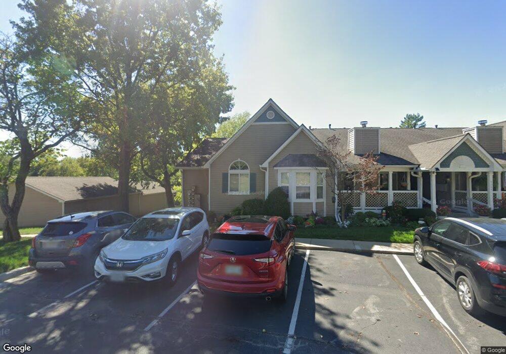
4304 S Bryant Ct Unit 27 Independence, MO 64055
39th East NeighborhoodEstimated Value: $188,000 - $217,000
About This Home
This home is located at 4304 S Bryant Ct Unit 27, Independence, MO 64055 and is currently estimated at $204,667, approximately $143 per square foot. 4304 S Bryant Ct Unit 27 is a home located in Jackson County with nearby schools including William Southern Elementary School, Bridger Middle School, and Pioneer Ridge Middle School.
Ownership History
We collect this data history from publicly available records. To have your information removed, we recommend requesting removal directly through your county’s website.
Purchase Details
Home Financials for this Owner
Home Financials are based on the most recent Mortgage that was taken out on this home.Purchase Details
Purchase Details
Home Financials for this Owner
Home Financials are based on the most recent Mortgage that was taken out on this home.Purchase Details
Home Financials for this Owner
Home Financials are based on the most recent Mortgage that was taken out on this home.Home Values in the Area
Average Home Value in this Area
Purchase History
We collect this data history from publicly available records. To have your information removed, we recommend requesting removal directly through your county’s website.
| Date | Buyer | Sale Price | Title Company |
|---|---|---|---|
| $200,000 | None Listed On Document | ||
| -- | None Available | ||
| -- | None Available | ||
| -- | Missouri Secured Title |
Mortgage History
We collect this data history from publicly available records. To have your information removed, we recommend requesting removal directly through your county’s website.
| Date | Status | Borrower | Loan Amount |
|---|---|---|---|
| Open | $130,000 | ||
| Previous Owner | $87,500 | ||
| Previous Owner | $80,000 |
Tax History
We collect this data history from publicly available records. To have your information removed, we recommend requesting removal directly through your county’s website.
| Year | Tax Paid | Tax Assessment Tax Assessment Total Assessment is a certain percentage of the fair market value that is determined by local assessors to be the total taxable value of land and additions on the property. | Land | Improvement |
|---|---|---|---|---|
| 2025 | $1,711 | $28,405 | $4,427 | $23,978 |
| 2024 | $1,711 | $24,700 | $906 | $23,794 |
| 2023 | $1,672 | $24,700 | $2,975 | $21,725 |
| 2022 | $1,768 | $23,940 | $989 | $22,951 |
| 2021 | $1,768 | $23,940 | $989 | $22,951 |
| 2020 | $1,591 | $20,933 | $989 | $19,944 |
| 2019 | $1,565 | $20,933 | $989 | $19,944 |
| 2018 | $886,723 | $16,245 | $989 | $15,256 |
| 2017 | $1,266 | $16,245 | $989 | $15,256 |
| 2016 | $1,266 | $16,005 | $989 | $15,016 |
| 2014 | $1,226 | $15,846 | $989 | $14,857 |
Map
- 4311 S Megan Ct Unit 2
- 4122 S Kerrington Dr
- 16904 E 43rd St S
- 16900 E 41st Terrace S
- 4024 Surrey Ln
- 4009 S Milton Dr
- 4008 S Colonial Dr
- 17205 E 44th Street Ct S
- 17009 E 46th Street Ct S
- 3922 S Harbaugh Dr
- 4705 S Brentwood Ave
- 4707 S Brentwood Ave
- 15600 E 43rd St S
- 4709 S Brentwood Ave
- 3916 S Grant Ave
- 3826 S Summit Ridge Dr
- 4712 S Brentwood Ave
- 4714 S Brentwood Ave
- 4446 S Davidson Dr
- 17318 E Hwy 40 Hwy
- 4304 S Bryant Ct Unit 5
- 4304 S Bryant Dr Unit 5
- 4304 S Bryant Ct Unit 6
- 4304 S Bryant Ct Unit 32
- 4304 S Bryant Ct Unit 30
- 4304 S Bryant Ct Unit 31
- 4304 S Bryant Ct Unit 29
- 4304 S Bryant Ct Unit 28
- 4304 S Bryant St
- 4304 S Bryant Ct Unit 1
- 4304 S Bryant Ct Unit 2
- 4304 S Bryant #2 Ct
- 5917 S Bryant Dr
- 4311 S Megan Ct Unit 1
- 4311 S Megan Ct Unit 6
- 4311 S Megan Ct Unit 21
- 4311 S Megan Ct Unit 24
- 4311 S Megan Ct Unit 25
- 4311 S Megan Ct Unit 22
- 4311 S Megan Ct Unit 26
Ask me questions while you tour the home.