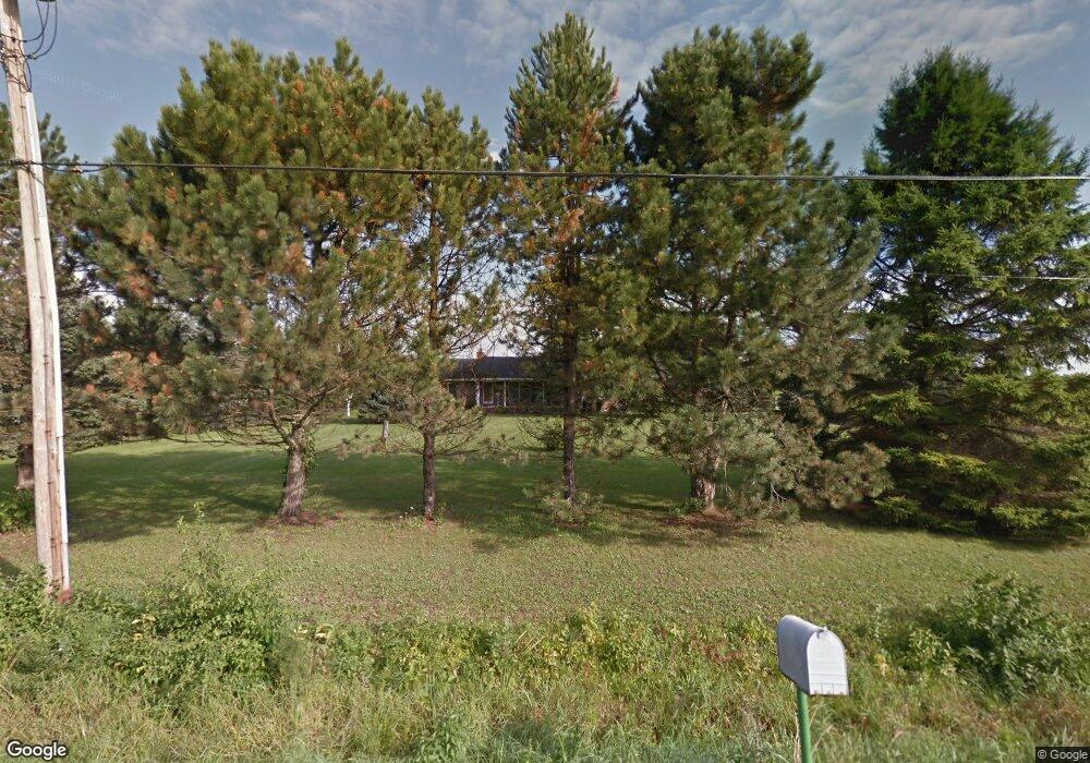
4308 Colf Rd Carleton, MI 48117
Estimated Value: $309,000 - $404,000
3
Beds
2
Baths
1,678
Sq Ft
$218/Sq Ft
Est. Value
About This Home
This home is located at 4308 Colf Rd, Carleton, MI 48117 and is currently estimated at $366,175, approximately $218 per square foot. 4308 Colf Rd is a home located in Monroe County with nearby schools including Airport Senior High School, St. Patrick Elementary School, and Carleton Community Baptist.
Ownership History
Date
Name
Owned For
Owner Type
Purchase Details
Closed on
Nov 30, 1998
Sold by
Rafko Frank
Bought by
Plonte Ii Roger
Current Estimated Value
Home Financials for this Owner
Home Financials are based on the most recent Mortgage that was taken out on this home.
Original Mortgage
$184,000
Outstanding Balance
$42,337
Interest Rate
6.93%
Mortgage Type
New Conventional
Estimated Equity
$323,838
Create a Home Valuation Report for This Property
The Home Valuation Report is an in-depth analysis detailing your home's value as well as a comparison with similar homes in the area
Purchase History
We collect this data history from publicly available records. To have your information removed, we recommend requesting removal directly through your county’s website.
| Date | Buyer | Sale Price | Title Company |
|---|---|---|---|
| Plonte Ii Roger | $194,000 | -- |
Source: Public Records
Mortgage History
We collect this data history from publicly available records. To have your information removed, we recommend requesting removal directly through your county’s website.
| Date | Status | Borrower | Loan Amount |
|---|---|---|---|
| Open | Plonte Ii Roger | $184,000 |
Source: Public Records
Tax History
| Year | Tax Paid | Tax Assessment Tax Assessment Total Assessment is a certain percentage of the fair market value that is determined by local assessors to be the total taxable value of land and additions on the property. | Land | Improvement |
|---|---|---|---|---|
| 2025 | $1,204 | $169,000 | $47,650 | $121,350 |
| 2024 | $1,168 | $154,950 | $0 | $0 |
| 2023 | $1,112 | $133,400 | $0 | $0 |
| 2022 | $3,409 | $133,400 | $0 | $0 |
| 2021 | $3,340 | $123,200 | $0 | $0 |
| 2020 | $3,328 | $106,950 | $0 | $0 |
| 2019 | $3,323 | $106,950 | $0 | $0 |
| 2018 | $3,280 | $102,950 | $0 | $0 |
| 2017 | $3,063 | $93,750 | $0 | $0 |
| 2016 | $3,034 | $93,750 | $0 | $0 |
| 2015 | $2,973 | $84,450 | $0 | $0 |
| 2014 | $2,973 | $84,450 | $0 | $0 |
| 2013 | $1,939 | $82,600 | $0 | $0 |
Source: Public Records
Map
Nearby Homes
- 14104 Carleton West Rd
- 13635 Exeter Rd
- 13680 Martinsville Rd
- 0 Fay Rd Unit 50208236
- 00 Fay Rd
- 000 Fay Rd
- 5424 Oakville Waltz Rd
- 28710 Sumpter Rd
- 0 Carleton West Rd
- 12915 Sumpter Rd
- 2131 Oakville Waltz Rd
- 12259 Eldora St
- 26700 Martinsville Rd
- 12929 Matthews St
- 12530 Harris St
- 28503 Margaret Ln Unit 1
- 27178 John Dr
- 12747 Matthews St
- 12377 Spencer Ln
- 26055 Martinsville Rd
Your Personal Tour Guide
Ask me questions while you tour the home.