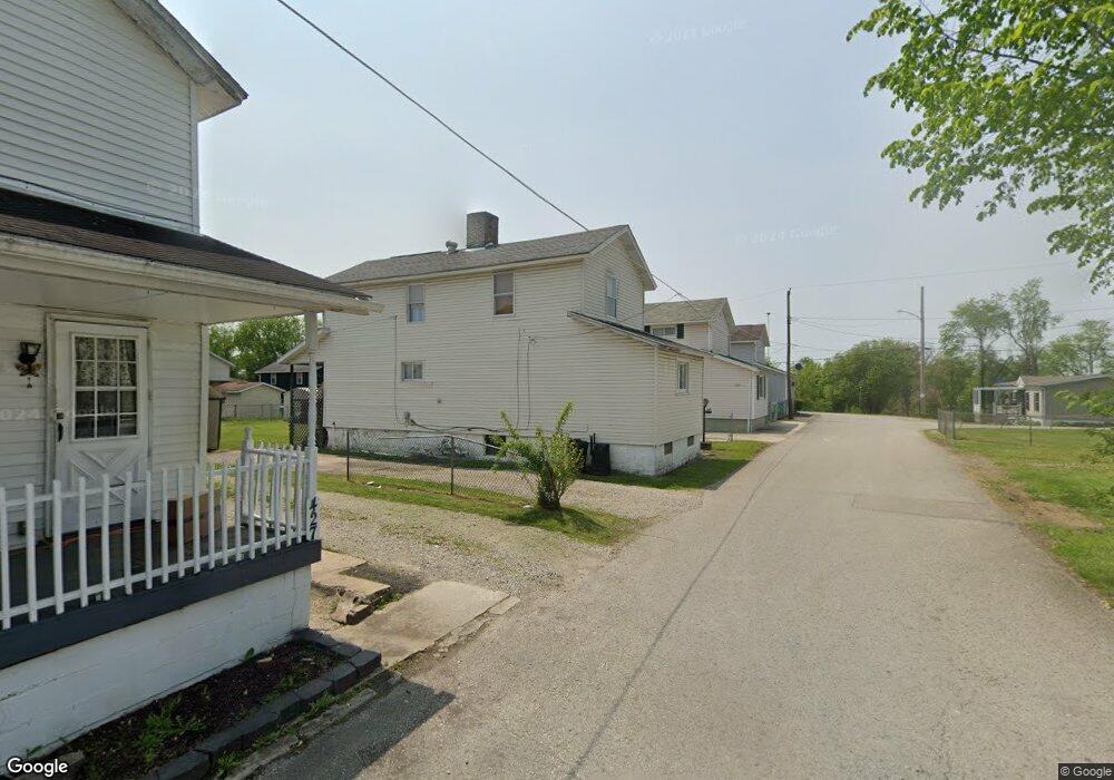
431 2nd St Allison, PA 15413
Estimated Value: $62,000 - $79,000
2
Beds
1
Bath
1,312
Sq Ft
$54/Sq Ft
Est. Value
About This Home
This home is located at 431 2nd St, Allison, PA 15413 and is currently estimated at $71,003, approximately $54 per square foot. 431 2nd St is a home with nearby schools including Brownsville Area Elementary School, Brownsville Area Middle School, and Brownsville Area High School.
Ownership History
Date
Name
Owned For
Owner Type
Purchase Details
Closed on
Jun 20, 2024
Sold by
Wright Duane Leslie and Wright Dale Arnold
Bought by
Soroka Abigail
Current Estimated Value
Home Financials for this Owner
Home Financials are based on the most recent Mortgage that was taken out on this home.
Original Mortgage
$69,825
Outstanding Balance
$68,491
Interest Rate
7.02%
Mortgage Type
New Conventional
Estimated Equity
$2,512
Purchase Details
Closed on
Sep 2, 2005
Sold by
Wright Duane R and Wright Gaye G
Bought by
Wright Duane Leslie and Hickle Gwendolyn Denise
Create a Home Valuation Report for This Property
The Home Valuation Report is an in-depth analysis detailing your home's value as well as a comparison with similar homes in the area
Purchase History
We collect this data history from publicly available records. To have your information removed, we recommend requesting removal directly through your county’s website.
| Date | Buyer | Sale Price | Title Company |
|---|---|---|---|
| Soroka Abigail | $73,500 | Blue Sky Closing Services | |
| Wright Duane Leslie | -- | None Available |
Source: Public Records
Mortgage History
We collect this data history from publicly available records. To have your information removed, we recommend requesting removal directly through your county’s website.
| Date | Status | Borrower | Loan Amount |
|---|---|---|---|
| Open | Soroka Abigail | $69,825 |
Source: Public Records
Tax History
| Year | Tax Paid | Tax Assessment Tax Assessment Total Assessment is a certain percentage of the fair market value that is determined by local assessors to be the total taxable value of land and additions on the property. | Land | Improvement |
|---|---|---|---|---|
| 2026 | $441 | $14,760 | $2,665 | $12,095 |
| 2025 | $416 | $14,760 | $2,665 | $12,095 |
| 2024 | $416 | $14,760 | $2,665 | $12,095 |
| 2023 | $833 | $14,760 | $2,665 | $12,095 |
| 2022 | $833 | $14,760 | $2,665 | $12,095 |
| 2021 | $808 | $14,760 | $2,665 | $12,095 |
| 2020 | $807 | $14,760 | $2,665 | $12,095 |
| 2019 | $764 | $14,760 | $2,665 | $12,095 |
| 2018 | $764 | $14,760 | $2,665 | $12,095 |
| 2017 | $746 | $14,760 | $2,665 | $12,095 |
| 2016 | -- | $14,760 | $2,665 | $12,095 |
| 2015 | -- | $14,760 | $2,665 | $12,095 |
| 2014 | -- | $29,520 | $5,330 | $24,190 |
Source: Public Records
Map
Nearby Homes
- 423 3rd St
- 408 3rd St
- 216 Pennsylvania Ave
- 213 Stone Church Rd
- 210 Stone Church Rd
- 242 2nd St Unit 1
- TR326 Simpson Rd
- Off Superior St
- 0 Steel St Unit 1719984
- 4 Sharp St
- 1081 Main St
- 44 Fairgarden St
- 1063 Main St
- 17 Edna St
- 1028 Main St
- 27 Legion St
- 2014 5th St
- 2013 East St
- 199 Filbert Orient Rd
- 201 Filbert Orient Rd
Your Personal Tour Guide
Ask me questions while you tour the home.