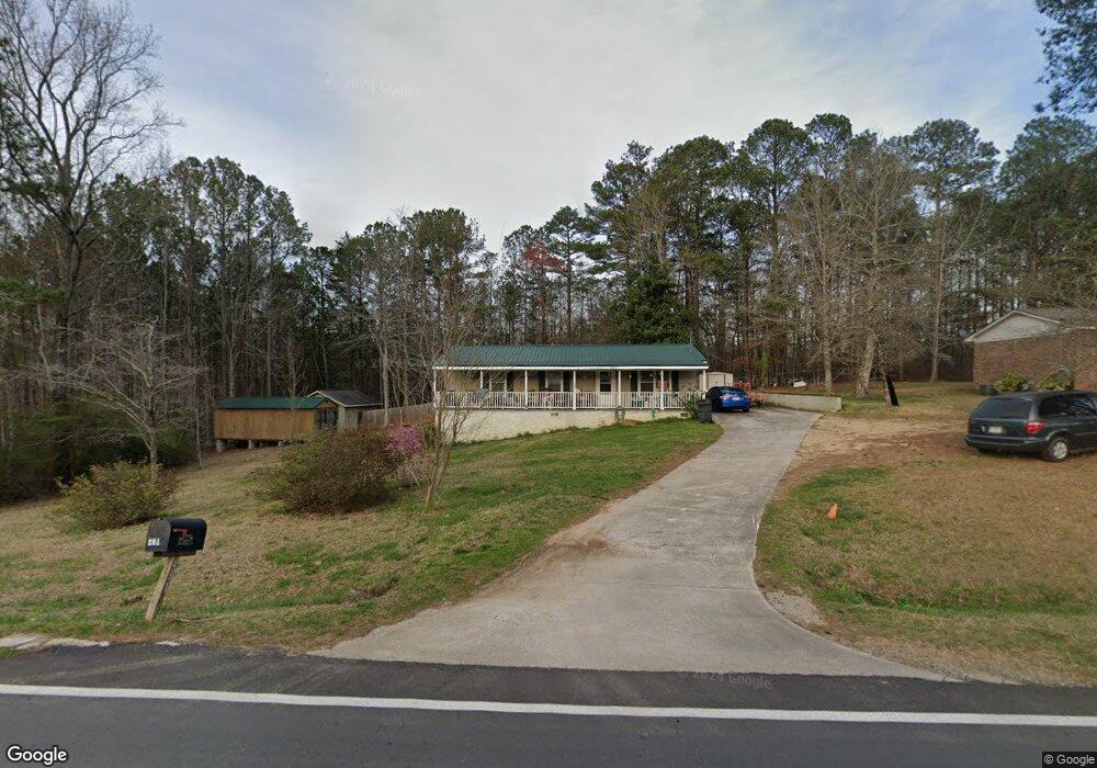
431 Broad St Tallapoosa, GA 30176
Estimated Value: $182,721 - $215,000
3
Beds
2
Baths
1,056
Sq Ft
$193/Sq Ft
Est. Value
About This Home
This home is located at 431 Broad St, Tallapoosa, GA 30176 and is currently estimated at $203,680, approximately $192 per square foot. 431 Broad St is a home located in Haralson County with nearby schools including Haralson County High School.
Ownership History
Date
Name
Owned For
Owner Type
Purchase Details
Closed on
May 25, 1994
Sold by
Boyd Randy and Boyd Judy
Bought by
Boyd Judy S
Current Estimated Value
Purchase Details
Closed on
Dec 3, 1983
Sold by
Eidson Gerry
Bought by
Boyd Randy and Boyd Judy
Purchase Details
Closed on
Jun 17, 1983
Sold by
Eidson Gerry
Bought by
Boyd Randy and Boyd Judy
Purchase Details
Closed on
Jan 1, 1983
Sold by
W Ga Bank Of Tallapo
Bought by
Boyd Randy and Boyd Judy
Create a Home Valuation Report for This Property
The Home Valuation Report is an in-depth analysis detailing your home's value as well as a comparison with similar homes in the area
Home Values in the Area
Average Home Value in this Area
Purchase History
| Date | Buyer | Sale Price | Title Company |
|---|---|---|---|
| Boyd Judy S | -- | -- | |
| Boyd Randy | -- | -- | |
| Boyd Randy | $4,000 | -- | |
| Boyd Randy | -- | -- |
Source: Public Records
Tax History
| Year | Tax Paid | Tax Assessment Tax Assessment Total Assessment is a certain percentage of the fair market value that is determined by local assessors to be the total taxable value of land and additions on the property. | Land | Improvement |
|---|---|---|---|---|
| 2025 | $721 | $76,840 | $19,012 | $57,828 |
| 2024 | $981 | $39,996 | $5,088 | $34,908 |
| 2023 | $338 | $41,227 | $4,800 | $36,427 |
| 2022 | $592 | $34,080 | $4,800 | $29,280 |
| 2021 | $665 | $32,879 | $4,800 | $28,079 |
| 2020 | $607 | $31,328 | $4,800 | $26,528 |
| 2019 | $661 | $30,914 | $4,800 | $26,114 |
| 2018 | $595 | $28,258 | $4,800 | $23,458 |
| 2017 | $549 | $24,842 | $4,800 | $20,042 |
| 2016 | $628 | $23,564 | $4,800 | $18,764 |
| 2015 | $628 | $23,447 | $4,800 | $18,648 |
| 2014 | $685 | $24,694 | $7,600 | $17,094 |
Source: Public Records
Map
Nearby Homes
- 0 McDonald Ridge Unit 7691855
- 0 McDonald Ridge Unit 10657044
- LOT 11 McDonald Ridge
- 000 McDonald Ridge
- LOT13 McDonald Ridge
- 00 McDonald Ridge
- 174 Faye St
- 99 Oakland Ct
- 240 Ray St
- 135 Oakland Ct
- 200 Mohawk Dr
- 0 Cherokee Dr Unit 148037
- 268 White St
- 0 White St Unit 10638753
- 0 Steadman Rd Unit 10689496
- 0 Georgia 120 Unit 7646686
- 0 Georgia 120 Unit 10600882
- 5534 Steadman Rd
- 3230 Steadman Rd
- 0 Broad St Unit 10614514
Your Personal Tour Guide
Ask me questions while you tour the home.