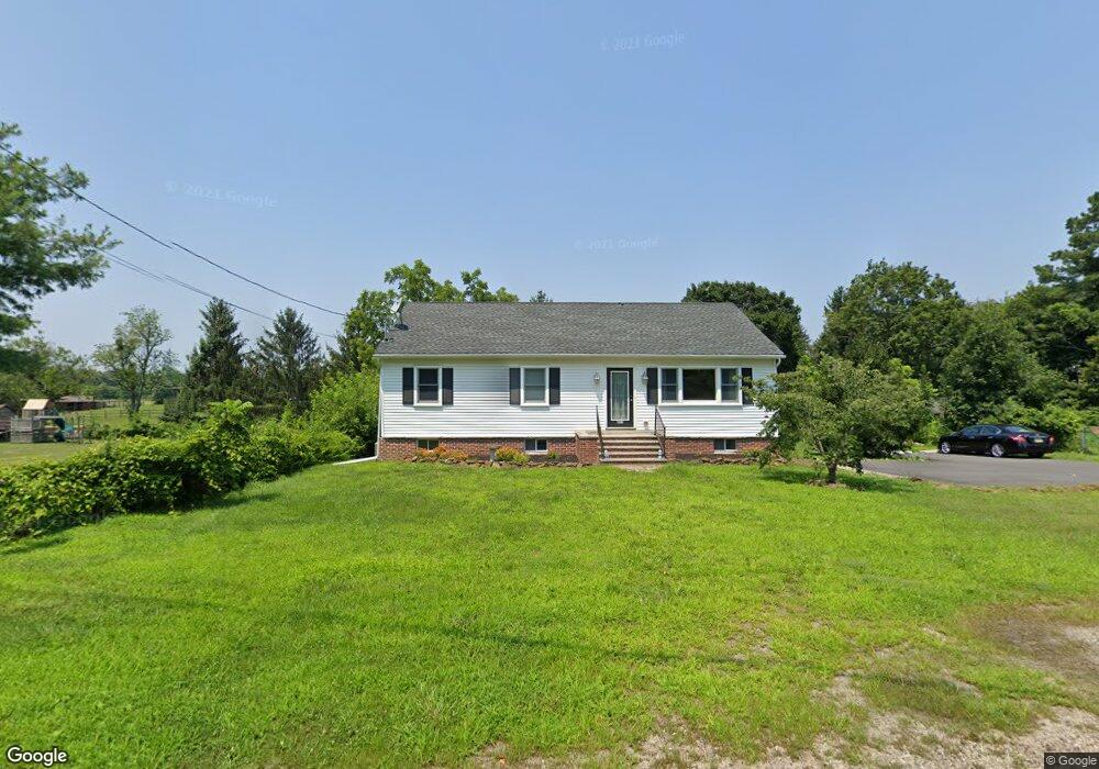
431 Main St Columbus, NJ 08022
Estimated Value: $189,000 - $456,000
Studio
--
Bath
1,247
Sq Ft
$272/Sq Ft
Est. Value
About This Home
This home is located at 431 Main St, Columbus, NJ 08022 and is currently estimated at $339,524, approximately $272 per square foot. 431 Main St is a home with nearby schools including Springfield Township Elementary School, Northern Burlington County Regional Middle School, and Northern Burlington County Regional High School.
Ownership History
Date
Name
Owned For
Owner Type
Purchase Details
Closed on
Jul 15, 2017
Sold by
Raymond Heath M and Raymond Shanalee
Bought by
Raymond Heath M
Current Estimated Value
Home Financials for this Owner
Home Financials are based on the most recent Mortgage that was taken out on this home.
Original Mortgage
$202,000
Outstanding Balance
$168,150
Interest Rate
3.96%
Mortgage Type
New Conventional
Estimated Equity
$171,374
Purchase Details
Closed on
Jul 13, 2007
Sold by
Raymond Roger B and Raymond Kathleen M
Bought by
Raymond Heath M and Raymond Shanalee
Purchase Details
Closed on
Oct 23, 2000
Sold by
Estate Of Edna M Fowler and Hornor Stiger Ruth E
Bought by
Raymond Roger B and Raymond Kathleen M
Create a Home Valuation Report for This Property
The Home Valuation Report is an in-depth analysis detailing your home's value as well as a comparison with similar homes in the area
Home Values in the Area
Average Home Value in this Area
Purchase History
| Date | Buyer | Sale Price | Title Company |
|---|---|---|---|
| Raymond Heath M | $38,000 | Title Source Inc | |
| Raymond Heath M | -- | T A Title Insurance Co | |
| Raymond Roger B | $65,000 | T A Title Insurance Company |
Source: Public Records
Mortgage History
| Date | Status | Borrower | Loan Amount |
|---|---|---|---|
| Open | Raymond Heath M | $202,000 |
Source: Public Records
Tax History
| Year | Tax Paid | Tax Assessment Tax Assessment Total Assessment is a certain percentage of the fair market value that is determined by local assessors to be the total taxable value of land and additions on the property. | Land | Improvement |
|---|---|---|---|---|
| 2025 | $6,131 | $193,400 | $57,000 | $136,400 |
| 2024 | $5,966 | $193,400 | $57,000 | $136,400 |
| 2023 | $5,966 | $193,400 | $57,000 | $136,400 |
| 2022 | $5,750 | $193,400 | $57,000 | $136,400 |
| 2021 | $5,785 | $193,400 | $57,000 | $136,400 |
| 2020 | $5,769 | $193,400 | $57,000 | $136,400 |
| 2019 | $5,765 | $193,400 | $57,000 | $136,400 |
| 2018 | $5,761 | $193,400 | $57,000 | $136,400 |
| 2017 | $5,740 | $193,400 | $57,000 | $136,400 |
| 2016 | $5,713 | $193,400 | $57,000 | $136,400 |
| 2015 | $7,747 | $272,200 | $57,000 | $215,200 |
| 2014 | $7,311 | $272,200 | $57,000 | $215,200 |
Source: Public Records
Map
Nearby Homes
- 410 Lewistown Rd
- 384 Juliustown Rd
- 317 Juliustown Rd
- 2551 Saylors Pond Rd
- 184 Juliustown Rd
- 141 Arneys Mount Rd
- 2551 Saylors Pond Rd
- 0 N Pemberton Rd Unit NJBL2097176
- 10 Sheldon Rd
- 421 Arneys Mount Birmingham Rd
- 27 Arneys Mount Rd
- 2328 Monmouth Rd
- 195 N Pemberton Rd
- 53 Arneys Mount Rd
- 51 Arneys Mount Rd
- 45 W Main St
- 2707 Monmouth Rd
- 2717 Monmouth Rd
- 30 Homestead Dr
- 4 Harvest Ln
Your Personal Tour Guide
Ask me questions while you tour the home.