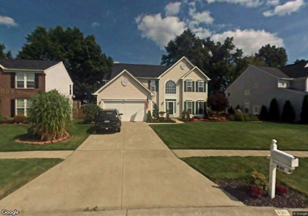
4311 Jenee Dr Lorain, OH 44053
Estimated Value: $396,000 - $405,663
About This Home
This home is located at 4311 Jenee Dr, Lorain, OH 44053 and is currently estimated at $399,666, approximately $146 per square foot. 4311 Jenee Dr is a home located in Lorain County with nearby schools including Powers Elementary School, Walter G. Nord Middle School, and Amherst Junior High School.
Ownership History
We collect this data history from publicly available records. To have your information removed, we recommend requesting removal directly through your county’s website.
Purchase Details
Home Financials for this Owner
Home Financials are based on the most recent Mortgage that was taken out on this home.Purchase Details
Home Financials for this Owner
Home Financials are based on the most recent Mortgage that was taken out on this home.Purchase Details
Home Financials for this Owner
Home Financials are based on the most recent Mortgage that was taken out on this home.Purchase Details
Purchase Details
Home Financials for this Owner
Home Financials are based on the most recent Mortgage that was taken out on this home.Home Values in the Area
Average Home Value in this Area
Purchase History
We collect this data history from publicly available records. To have your information removed, we recommend requesting removal directly through your county’s website.
| Date | Buyer | Sale Price | Title Company |
|---|---|---|---|
| $260,000 | New Title Company Name | ||
| -- | None Available | ||
| $229,100 | Nvr Title Agency Llc | ||
| $34,900 | Lorain County Title Co Inc | ||
| $225,200 | Nvr Title Agency Llc |
Mortgage History
We collect this data history from publicly available records. To have your information removed, we recommend requesting removal directly through your county’s website.
| Date | Status | Borrower | Loan Amount |
|---|---|---|---|
| Open | $208,000 | ||
| Previous Owner | $254,621 | ||
| Previous Owner | $224,300 | ||
| Previous Owner | $221,670 |
Tax History
We collect this data history from publicly available records. To have your information removed, we recommend requesting removal directly through your county’s website.
| Year | Tax Paid | Tax Assessment Tax Assessment Total Assessment is a certain percentage of the fair market value that is determined by local assessors to be the total taxable value of land and additions on the property. | Land | Improvement |
|---|---|---|---|---|
| 2024 | $5,076 | $120,201 | $19,250 | $100,951 |
| 2023 | $4,253 | $86,335 | $13,444 | $72,891 |
| 2022 | $4,083 | $86,335 | $13,444 | $72,891 |
| 2021 | $4,093 | $86,335 | $13,444 | $72,891 |
| 2020 | $4,070 | $76,060 | $11,840 | $64,220 |
| 2019 | $3,991 | $76,060 | $11,840 | $64,220 |
| 2018 | $3,995 | $76,060 | $11,840 | $64,220 |
| 2017 | $3,979 | $71,460 | $13,580 | $57,880 |
| 2016 | $3,950 | $71,460 | $13,580 | $57,880 |
| 2015 | $3,818 | $71,460 | $13,580 | $57,880 |
| 2014 | $3,948 | $73,670 | $14,000 | $59,670 |
| 2013 | $3,959 | $73,670 | $14,000 | $59,670 |
Map
- 4642 Crossing Trail
- 4625 Crossing Trail
- 4624 Quincy Adams Ct
- 4513 Vineyard Dr
- 4681 Boulder Ln
- 4671 Boulder Ln
- 3932 Courtyard Dr
- 4784 Olivia Way
- 0000 Courtyard Dr
- 3794 Freedom Place
- 3784 Freedom Place
- 3785 Freedom Place
- 3772 Freedom Place Unit B
- 3770 Freedom Place Unit C
- 4483 Bellow Dr
- 4636 Erhart Dr
- 146 Habant Rd
- 110 Habant Dr
- 3822 E Parkside Cir
- 252 Habant Rd
Ask me questions while you tour the home.