4315 E 102nd Ave Anchorage, AK 99507
Mid-Hillside NeighborhoodEstimated Value: $554,000 - $718,820
3
Beds
3
Baths
1,621
Sq Ft
$400/Sq Ft
Est. Value
About This Home
This home is located at 4315 E 102nd Ave, Anchorage, AK 99507 and is currently estimated at $648,705, approximately $400 per square foot. 4315 E 102nd Ave is a home located in Anchorage Municipality with nearby schools including O'Malley Elementary School, Hanshew Middle School, and Service High School.
Ownership History
Date
Name
Owned For
Owner Type
Purchase Details
Closed on
Jul 26, 2019
Sold by
Boyette Daniel E and Boyette Sharon B
Bought by
Boyette Daniel and Boyette Sharon
Current Estimated Value
Home Financials for this Owner
Home Financials are based on the most recent Mortgage that was taken out on this home.
Interest Rate
3.75%
Create a Home Valuation Report for This Property
The Home Valuation Report is an in-depth analysis detailing your home's value as well as a comparison with similar homes in the area
Home Values in the Area
Average Home Value in this Area
Purchase History
| Date | Buyer | Sale Price | Title Company |
|---|---|---|---|
| Boyette Daniel | -- | -- |
Source: Public Records
Mortgage History
| Date | Status | Borrower | Loan Amount |
|---|---|---|---|
| Closed | Boyette Daniel | -- |
Source: Public Records
Tax History
| Year | Tax Paid | Tax Assessment Tax Assessment Total Assessment is a certain percentage of the fair market value that is determined by local assessors to be the total taxable value of land and additions on the property. | Land | Improvement |
|---|---|---|---|---|
| 2025 | $5,924 | $667,400 | $151,100 | $516,300 |
| 2024 | $5,924 | $591,900 | $143,000 | $448,900 |
| 2023 | $9,392 | $551,500 | $137,000 | $414,500 |
| 2022 | $5,663 | $536,300 | $139,700 | $396,600 |
| 2021 | $9,259 | $513,800 | $139,700 | $374,100 |
| 2020 | $5,158 | $504,600 | $139,700 | $364,900 |
| 2019 | $4,872 | $497,800 | $139,700 | $358,100 |
| 2018 | $4,467 | $472,400 | $144,200 | $328,200 |
| 2017 | $4,762 | $474,100 | $138,100 | $336,000 |
| 2016 | $7,229 | $499,200 | $138,100 | $361,100 |
| 2015 | $7,229 | $512,800 | $167,300 | $345,500 |
| 2014 | $7,229 | $496,700 | $167,100 | $329,600 |
Source: Public Records
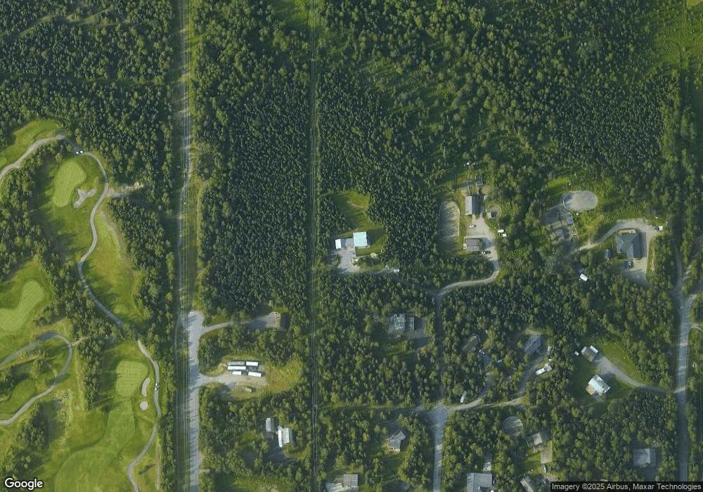
Map
Nearby Homes
- Lt 87 Carlson Rd
- 5005 E 98th Ave
- 5300 Shaun Cir
- 000 Valley View Dr
- 4411 Birch Run Cir
- 9191 Chapelle Cir
- 5500 E 98th Ave
- 3831 Winchester Loop
- 0 Rd
- 11000 Navrot Cir
- 8971 Spruce Brook St
- 11314 Cheri Ren Cir
- 3910 E 86th Ave
- L2 Totem Rd
- 8711 Estates Cir
- 3731 Gary Cooper Cir
- 10996 Sky Ridge Dr
- 11135 Red Sky Cir
- NHN Red Sky Cir
- 3706 Coventry Dr
- 10230 Carlson Rd
- 4411 E 102nd Ave
- 10201 Elmore Rd
- L127 Abbott Loop
- 10285 Carlson Rd
- 10251 Elmore Rd
- 10301 Elmore Rd
- 10299 Carlson Rd
- 4311 E 104th Ave
- 10310 Carlson Rd
- 4411 E 104th Ave
- 10250 Pacer Place
- 4201 E 104th Ave
- 10100 Pacer Place
- 4421 E 104th Ave
- 4510 E 101st Ave
- 10400 Finley Cir
- 9831 Elmore Rd
- 4501 E 104th Ave
- 9825 Carlson Rd
Your Personal Tour Guide
Ask me questions while you tour the home.