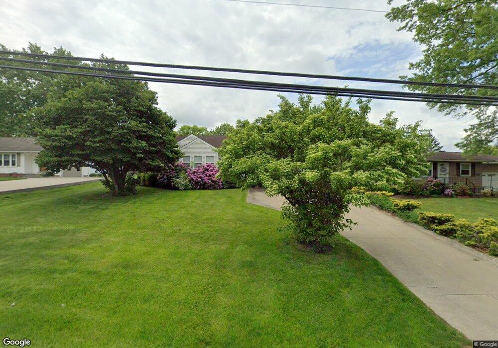
4318 Summit Rd Norton, OH 44203
North Barberton NeighborhoodEstimated Value: $181,600 - $209,000
About This Home
This home is located at 4318 Summit Rd, Norton, OH 44203 and is currently estimated at $195,900, approximately $166 per square foot. 4318 Summit Rd is a home located in Summit County with nearby schools including Barberton Middle School, Barberton Intermediate School 3-5, and Barberton High School.
Ownership History
We collect this data history from publicly available records. To have your information removed, we recommend requesting removal directly through your county’s website.
Purchase Details
Purchase Details
Purchase Details
Home Values in the Area
Average Home Value in this Area
Purchase History
We collect this data history from publicly available records. To have your information removed, we recommend requesting removal directly through your county’s website.
| Date | Buyer | Sale Price | Title Company |
|---|---|---|---|
| -- | None Listed On Document | ||
| -- | -- | ||
| -- | -- |
Tax History
We collect this data history from publicly available records. To have your information removed, we recommend requesting removal directly through your county’s website.
| Year | Tax Paid | Tax Assessment Tax Assessment Total Assessment is a certain percentage of the fair market value that is determined by local assessors to be the total taxable value of land and additions on the property. | Land | Improvement |
|---|---|---|---|---|
| 2026 | $4,113 | $45,791 | $15,173 | $30,618 |
| 2025 | $2,346 | $45,791 | $15,173 | $30,618 |
| 2024 | $2,346 | $52,396 | $15,173 | $37,223 |
| 2023 | $2,346 | $52,396 | $15,173 | $37,223 |
| 2022 | $1,577 | $33,587 | $9,727 | $23,860 |
| 2021 | $1,577 | $33,587 | $9,727 | $23,860 |
| 2020 | $1,487 | $33,590 | $9,730 | $23,860 |
| 2019 | $1,829 | $36,230 | $7,810 | $28,420 |
| 2018 | $1,803 | $36,230 | $7,810 | $28,420 |
| 2017 | $1,757 | $36,230 | $7,810 | $28,420 |
| 2016 | $1,760 | $35,040 | $7,810 | $27,230 |
| 2015 | $1,757 | $35,040 | $7,810 | $27,230 |
| 2014 | $1,748 | $35,040 | $7,810 | $27,230 |
| 2013 | $1,690 | $35,040 | $7,810 | $27,230 |
Map
- 1974 Newton Ave
- 260 Horn St
- 255 Glenn St
- 130 Yonker St
- 154 Yonker St
- 197 W State St Unit 182
- 303 W State St
- 161 Fernwood Ave
- 294 Broadview Ave
- 331 Elmwood Ave
- 0 Romig Ave
- 1015 Romig Ave
- 1975 Mcgowan Rd
- 978 Wooster Rd N
- 52 Norwood St
- 1150 Wooster Rd N
- 172 & 173 Belcher Ave
- 727 Wooster Rd N
- 344 Morgan St
- 0 Wooster Rd N
- 4324 Summit Rd
- 4312 Summit Rd
- 4334 Summit Rd
- 4306 Summit Rd
- 4327 Summit Rd
- 1888 Connect Rd
- 1879 Caroline Ave
- 1871 Caroline Ave
- 4313 Summit Rd
- 4335 Summit Rd
- 4292 Summit Rd
- 0 Madison Caroline
- 1887 Caroline Ave
- 4293 Summit Rd
- 1896 Connect Rd
- 4278 Summit Rd
- 1877 Connect Rd
- 1854 Caroline Ave
- 4341 Summit Rd
- 4362 Summit Rd
Ask me questions while you tour the home.