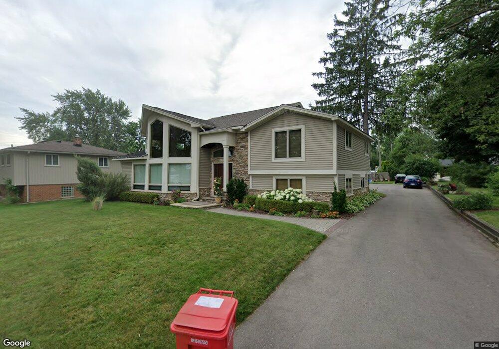
4320 Welland Dr West Bloomfield, MI 48323
West Bloomfield Township NeighborhoodEstimated Value: $423,000 - $520,000
About This Home
This home is located at 4320 Welland Dr, West Bloomfield, MI 48323 and is currently estimated at $487,820, approximately $182 per square foot. 4320 Welland Dr is a home located in Oakland County with nearby schools including Walled Lake Central High School, Our Lady Of Refuge School, and The Susan And Rabbi Harold Loss Ecc.
Ownership History
We collect this data history from publicly available records. To have your information removed, we recommend requesting removal directly through your county’s website.
Purchase Details
Home Financials for this Owner
Home Financials are based on the most recent Mortgage that was taken out on this home.Purchase Details
Home Financials for this Owner
Home Financials are based on the most recent Mortgage that was taken out on this home.Purchase Details
Home Financials for this Owner
Home Financials are based on the most recent Mortgage that was taken out on this home.Purchase Details
Home Values in the Area
Average Home Value in this Area
Purchase History
We collect this data history from publicly available records. To have your information removed, we recommend requesting removal directly through your county’s website.
| Date | Buyer | Sale Price | Title Company |
|---|---|---|---|
| -- | -- | ||
| -- | -- | ||
| $160,000 | -- | ||
| -- | -- |
Mortgage History
We collect this data history from publicly available records. To have your information removed, we recommend requesting removal directly through your county’s website.
| Date | Status | Borrower | Loan Amount |
|---|---|---|---|
| Open | $142,700 | ||
| Previous Owner | $140,000 | ||
| Previous Owner | $128,000 |
Tax History
We collect this data history from publicly available records. To have your information removed, we recommend requesting removal directly through your county’s website.
| Year | Tax Paid | Tax Assessment Tax Assessment Total Assessment is a certain percentage of the fair market value that is determined by local assessors to be the total taxable value of land and additions on the property. | Land | Improvement |
|---|---|---|---|---|
| 2025 | $2,706 | $251,110 | $44,660 | $206,450 |
| 2024 | $2,627 | $228,090 | $0 | $0 |
| 2022 | $2,477 | $212,590 | $44,660 | $167,930 |
| 2021 | $4,073 | $203,160 | $0 | $0 |
| 2020 | $2,448 | $193,900 | $44,660 | $149,240 |
| 2018 | $3,905 | $152,720 | $44,660 | $108,060 |
| 2015 | -- | $124,020 | $0 | $0 |
| 2014 | -- | $115,290 | $0 | $0 |
| 2011 | -- | $104,900 | $0 | $0 |
Map
- 6912 Colony Dr
- 6930 Colony Dr
- 4383 Green Lake Rd
- 4442 Rolling Pine Dr
- 7085 Colony Dr
- 6790 Edwood Ave
- 3965 Carrick Ave
- 6777 Dandison Blvd
- 6920 Pontiac Trail
- 4575 Northridge Ct Unit 19
- 6759 Buckland Ave
- 4860 Lagoons Cir
- 4769 Halsted Rd
- 3701 Green Lake Rd
- 6551 Duffield St
- 3575 Knollview Ave
- 7386 Woodlore Dr
- 6884 Aeroview St
- 6835 High Ridge Rd
- 6100 Pontiac Trail
- 4273 Welland Dr
- 4265 Welland Dr
- 4251 Welland Dr
- 4307 Welland Dr
- 6763 Colony Dr
- 6885 Evershed Terrace
- 6749 Colony Dr
- 4235 Welland Dr
- 6785 Colony Dr
- 4319 Welland Dr
- 4264 Welland Dr
- 6903 Evershed Terrace
- 6739 Colony Dr
- 4332 Welland Dr
- 6890 Playfair Terrace
- 0000 Borland St
- 0 Borland Unit 4956871
- 0 Borland Unit 215124858
- 6915 Evershed Terrace
- 6918 Evershed Terrace
Ask me questions while you tour the home.