43201 Wayside Cir Ashburn, VA 20147
Estimated Value: $920,548 - $964,000
About This Home
This home is located at 43201 Wayside Cir, Ashburn, VA 20147 and is currently estimated at $946,637, approximately $381 per square foot. 43201 Wayside Cir is a home located in Loudoun County with nearby schools including Sanders Corner Elementary School, Trailside Middle School, and Stone Bridge High.
Ownership History
We collect this data history from publicly available records. To have your information removed, we recommend requesting removal directly through your county’s website.
Purchase Details
Home Financials for this Owner
Home Financials are based on the most recent Mortgage that was taken out on this home.Home Values in the Area
Average Home Value in this Area
Purchase History
We collect this data history from publicly available records. To have your information removed, we recommend requesting removal directly through your county’s website.
| Date | Buyer | Sale Price | Title Company |
|---|---|---|---|
| $294,750 | -- |
Mortgage History
We collect this data history from publicly available records. To have your information removed, we recommend requesting removal directly through your county’s website.
| Date | Status | Borrower | Loan Amount |
|---|---|---|---|
| Open | $280,000 |
Tax History
We collect this data history from publicly available records. To have your information removed, we recommend requesting removal directly through your county’s website.
| Year | Tax Paid | Tax Assessment Tax Assessment Total Assessment is a certain percentage of the fair market value that is determined by local assessors to be the total taxable value of land and additions on the property. | Land | Improvement |
|---|---|---|---|---|
| 2025 | $6,935 | $861,460 | $300,600 | $560,860 |
| 2024 | $7,158 | $827,490 | $300,200 | $527,290 |
| 2023 | $7,033 | $803,810 | $300,200 | $503,610 |
| 2022 | $6,728 | $756,010 | $270,200 | $485,810 |
| 2021 | $6,509 | $664,220 | $220,200 | $444,020 |
| 2020 | $6,452 | $623,380 | $200,600 | $422,780 |
| 2019 | $6,355 | $608,180 | $200,600 | $407,580 |
| 2018 | $6,272 | $578,030 | $180,600 | $397,430 |
| 2017 | $6,220 | $552,890 | $180,600 | $372,290 |
| 2016 | $6,234 | $544,490 | $0 | $0 |
| 2015 | $6,219 | $367,290 | $0 | $367,290 |
| 2014 | $6,056 | $343,730 | $0 | $343,730 |
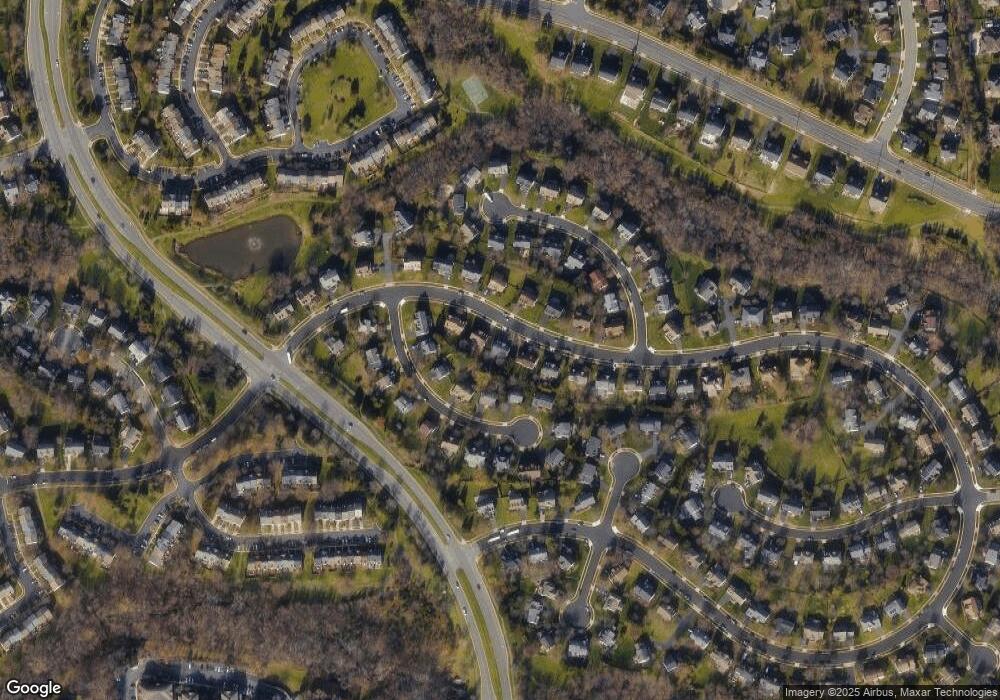
Map
- 43197 Wayside Cir
- 43264 Clearnight Terrace
- 43226 Clearnight Terrace
- 20877 Ivymount Terrace
- 20920 Cedarpost Square Unit 300
- 43171 Glenelder Terrace
- 43521 Postrail Square
- 43123 Gatwick Square
- 20960 Timber Ridge Terrace Unit 303
- 20991 Timber Ridge Terrace Unit 101
- 20465 Walsheid Terrace
- 21009 Timber Ridge Terrace Unit 203
- 43571 Plantation Terrace
- 21026 Strawrick Terrace
- 43537 Graves Ln
- 43576 Blacksmith Square
- 42946 Gotham Way
- 20365 Belmont Park Terrace Unit 110
- 20365 Belmont Park Terrace Unit 108
- 43378 Livery Square
- 43193 Wayside Cir
- 20752 Dewberry Ct
- 20748 Dewberry Ct
- 20756 Dewberry Ct
- 43205 Wayside Cir
- 20744 Dewberry Ct
- 20760 Dewberry Ct
- 43200 Wayside Cir
- 43196 Wayside Cir
- 43204 Wayside Cir
- 20764 Dewberry Ct
- 43209 Wayside Cir
- 43192 Wayside Cir
- 43208 Wayside Cir
- 20768 Dewberry Ct
- 20721 Edgebrook Ct
- 20749 Dewberry Ct
- 20753 Dewberry Ct
- 20745 Dewberry Ct
- 43188 Wayside Cir
Ask me questions while you tour the home.