433 Hines Rd Lagrange, GA 30241
LaGrange AreaEstimated Value: $119,000 - $188,000
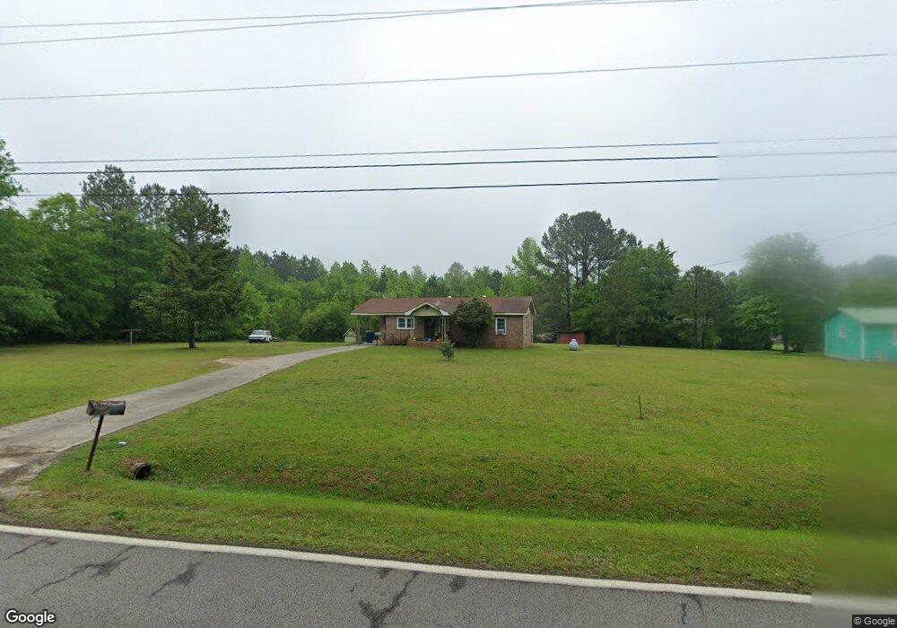
About This Home
This home is located at 433 Hines Rd, Lagrange, GA 30241 and is currently estimated at $163,307, approximately $149 per square foot. 433 Hines Rd is a home located in Troup County with nearby schools including Hogansville Elementary School, Callaway Elementary School, and Callaway Middle School.
Ownership History
We collect this data history from publicly available records. To have your information removed, we recommend requesting removal directly through your county’s website.
Purchase Details
Purchase Details
Purchase Details
Purchase Details
Purchase Details
Purchase History
We collect this data history from publicly available records. To have your information removed, we recommend requesting removal directly through your county’s website.
| Date | Buyer | Sale Price | Title Company |
|---|---|---|---|
| -- | -- | ||
| -- | -- | ||
| -- | -- | ||
| -- | -- | ||
| -- | -- |
Tax History
We collect this data history from publicly available records. To have your information removed, we recommend requesting removal directly through your county’s website.
| Year | Tax Paid | Tax Assessment Tax Assessment Total Assessment is a certain percentage of the fair market value that is determined by local assessors to be the total taxable value of land and additions on the property. | Land | Improvement |
|---|---|---|---|---|
| 2025 | $1,146 | $55,692 | $12,000 | $43,692 |
| 2024 | $960 | $45,132 | $12,000 | $33,132 |
| 2023 | $380 | $41,772 | $12,000 | $29,772 |
| 2022 | $774 | $37,692 | $9,600 | $28,092 |
| 2021 | $561 | $28,544 | $9,760 | $18,784 |
| 2020 | $561 | $28,544 | $9,760 | $18,784 |
| 2019 | $562 | $28,588 | $9,760 | $18,828 |
| 2018 | $510 | $26,864 | $9,760 | $17,104 |
| 2017 | $511 | $26,864 | $9,760 | $17,104 |
| 2016 | $499 | $26,468 | $9,780 | $16,688 |
| 2015 | $502 | $26,468 | $9,780 | $16,688 |
| 2014 | $476 | $25,590 | $9,780 | $15,810 |
| 2013 | -- | $26,700 | $9,780 | $16,920 |
Map
- 0 Hines Rd Unit A
- 0 Hines Rd Unit 10716326
- 132 Hines Rd
- 0 Willowood Rd Unit 10801026
- 429 Jasmine Cir
- 125 Jasmine Ln
- 111 Jasmine Ln
- 10 Whitfield Rd
- 105 Renae Ln
- 91 Almond Rd
- 201 Moccasin Trail
- 95 Beaver Run
- 142 Carr Rd
- 508 Merrill Ln
- SMOKEMONT Smokemont Dr
- 37 Nantucket Dr
- 61 Nantucket Dr
- 229 Big Springs Mountville Rd
- 40 Fincher St
- 0 Fincher St
Ask me questions while you tour the home.