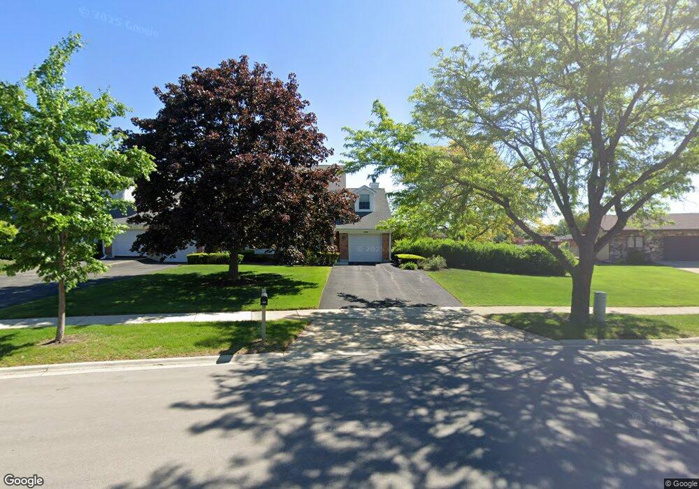
433 Juli Dr Schaumburg, IL 60193
East Schaumburg NeighborhoodEstimated Value: $359,000 - $380,000
4
Beds
2
Baths
1,697
Sq Ft
$216/Sq Ft
Est. Value
About This Home
This home is located at 433 Juli Dr, Schaumburg, IL 60193 and is currently estimated at $367,176, approximately $216 per square foot. 433 Juli Dr is a home located in Cook County with nearby schools including Michael Collins Elementary School, Robert Frost Junior High School, and J B Conant High School.
Ownership History
Date
Name
Owned For
Owner Type
Purchase Details
Closed on
Nov 5, 2003
Sold by
Salcido Clare D
Bought by
Brefeld Laura J
Current Estimated Value
Home Financials for this Owner
Home Financials are based on the most recent Mortgage that was taken out on this home.
Original Mortgage
$142,000
Interest Rate
5.91%
Mortgage Type
Unknown
Create a Home Valuation Report for This Property
The Home Valuation Report is an in-depth analysis detailing your home's value as well as a comparison with similar homes in the area
Home Values in the Area
Average Home Value in this Area
Purchase History
| Date | Buyer | Sale Price | Title Company |
|---|---|---|---|
| Brefeld Laura J | $220,000 | Multiple |
Source: Public Records
Mortgage History
| Date | Status | Borrower | Loan Amount |
|---|---|---|---|
| Previous Owner | Brefeld Laura J | $142,000 |
Source: Public Records
Tax History
| Year | Tax Paid | Tax Assessment Tax Assessment Total Assessment is a certain percentage of the fair market value that is determined by local assessors to be the total taxable value of land and additions on the property. | Land | Improvement |
|---|---|---|---|---|
| 2025 | $5,892 | $35,000 | $4,317 | $30,683 |
| 2024 | $5,892 | $27,001 | $4,001 | $23,000 |
| 2023 | $6,405 | $27,001 | $4,001 | $23,000 |
| 2022 | $6,405 | $27,001 | $4,001 | $23,000 |
| 2021 | $5,219 | $20,549 | $1,551 | $18,998 |
| 2020 | $5,197 | $20,549 | $1,551 | $18,998 |
| 2019 | $5,201 | $22,833 | $1,551 | $21,282 |
| 2018 | $4,587 | $18,719 | $1,281 | $17,438 |
| 2017 | $4,532 | $18,719 | $1,281 | $17,438 |
| 2016 | $4,481 | $18,719 | $1,281 | $17,438 |
| 2015 | $5,405 | $20,689 | $1,079 | $19,610 |
| 2014 | $5,362 | $20,689 | $1,079 | $19,610 |
| 2013 | $5,207 | $20,689 | $1,079 | $19,610 |
Source: Public Records
Map
Nearby Homes
- 98 Wiltshire Ct
- 168 Farmgate Dr
- 220 S Roselle Rd Unit 224
- 609 Deborah Ct
- 25 Superior Ct Unit L2
- 552 Stone Gate Cir
- 605 Limerick Ln Unit 2B
- 5 Illinois Ave
- 614 Tralee Ct Unit 2-C
- 614 Tralee Ct Unit 2D
- 712 Tipperary Ct Unit 1C
- 321 Carmelhead Ln
- 108 Mullingar Ct Unit 2D
- 112 Mullingar Ct Unit 1C
- 631 Derry Ct Unit 1B
- 631 Derry Ct Unit 3C
- 631 Derry Ct Unit 2C
- 26 Waterbury Ln Unit N2
- 635 Limerick Ln Unit 2B
- 733 Limerick Ln Unit 7333D
Your Personal Tour Guide
Ask me questions while you tour the home.