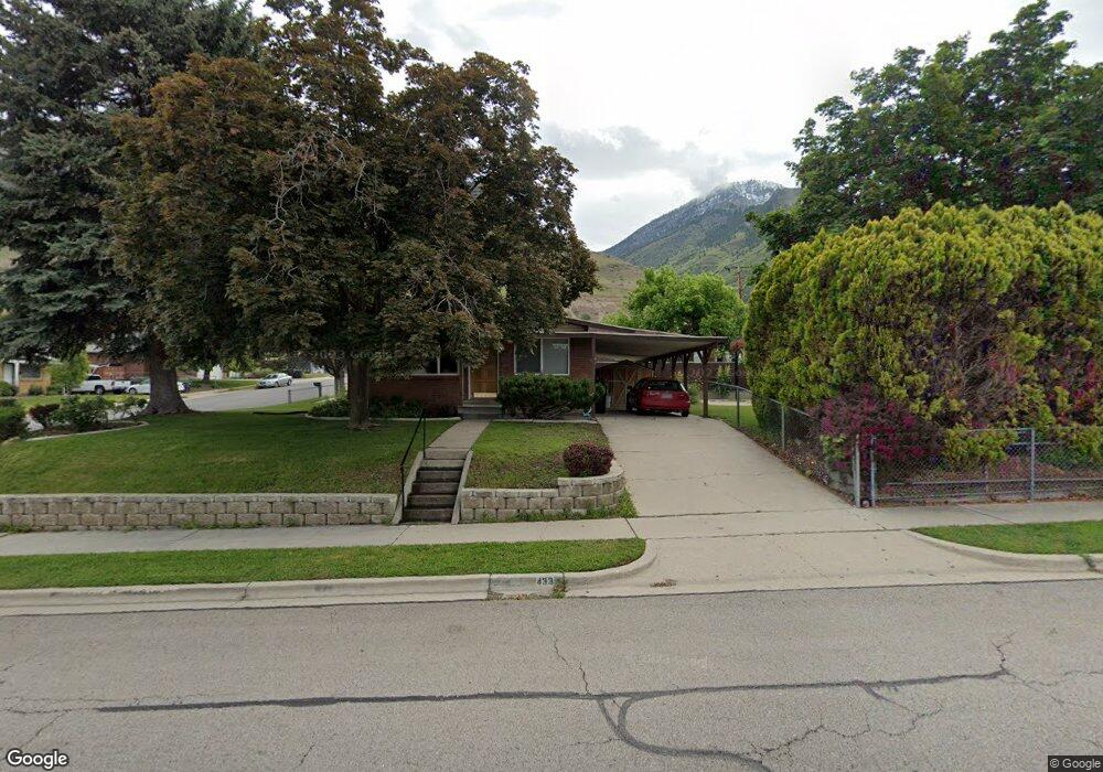
433 S 1350 E Provo, UT 84606
Provost NeighborhoodEstimated Value: $443,000 - $523,000
4
Beds
2
Baths
1,170
Sq Ft
$424/Sq Ft
Est. Value
About This Home
This home is located at 433 S 1350 E, Provo, UT 84606 and is currently estimated at $495,871, approximately $423 per square foot. 433 S 1350 E is a home located in Utah County with nearby schools including Provost School, Centennial Middle School, and Timpview High School.
Ownership History
Date
Name
Owned For
Owner Type
Purchase Details
Closed on
Jul 15, 2019
Sold by
Summit Flats Llc
Bought by
433 S Series Of Leatham Brothers Llc
Current Estimated Value
Purchase Details
Closed on
Mar 24, 2017
Sold by
Nielson Maurine G
Bought by
Summit Flats Llc
Purchase Details
Closed on
Aug 12, 1998
Sold by
Nielson Maurine G
Bought by
Maurine G Nielson Living Trust
Create a Home Valuation Report for This Property
The Home Valuation Report is an in-depth analysis detailing your home's value as well as a comparison with similar homes in the area
Home Values in the Area
Average Home Value in this Area
Purchase History
| Date | Buyer | Sale Price | Title Company |
|---|---|---|---|
| 433 S Series Of Leatham Brothers Llc | -- | Accommodation | |
| Summit Flats Llc | -- | Investors Title Ins Agen | |
| Maurine G Nielson Living Trust | -- | -- |
Source: Public Records
Tax History
| Year | Tax Paid | Tax Assessment Tax Assessment Total Assessment is a certain percentage of the fair market value that is determined by local assessors to be the total taxable value of land and additions on the property. | Land | Improvement |
|---|---|---|---|---|
| 2025 | $2,520 | $266,640 | -- | -- |
| 2024 | $2,556 | $248,050 | $0 | $0 |
| 2023 | $2,556 | $248,050 | $0 | $0 |
| 2022 | $2,585 | $252,945 | $0 | $0 |
| 2021 | $1,914 | $326,600 | $116,900 | $209,700 |
| 2020 | $1,856 | $296,900 | $106,300 | $190,600 |
| 2019 | $1,603 | $266,700 | $99,400 | $167,300 |
| 2018 | $1,450 | $244,600 | $92,600 | $152,000 |
| 2017 | $1,305 | $121,000 | $0 | $0 |
| 2016 | $1,287 | $111,265 | $0 | $0 |
| 2015 | $1,207 | $105,435 | $0 | $0 |
| 2014 | $1,067 | $97,185 | $0 | $0 |
Source: Public Records
Map
Nearby Homes
- 1231 E 520 S
- 1245 E 580 S
- 596 S 1500 E
- 1417 E 700 S
- 1090 E 460 S
- 1169 E 700 S
- 1005 E 300 S
- 919 E 300 S
- 1304 E 900 S
- 1332 Cinnamon Ridge Way
- 856 E 300 S
- 984 E 900 S
- 1066 Cinnamon Ridge Dr
- 1105 S 1420 E
- 1052 Canyon Meadow Dr Unit 4
- 1077 Canyon Meadow Dr Unit 3
- 1154 S 1430 E
- 150 S 700 E
- 1383 E 320 N
- 1051 E 300 N
Your Personal Tour Guide
Ask me questions while you tour the home.