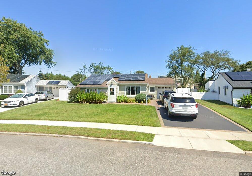
4331 Ava Rd Bethpage, NY 11714
Estimated Value: $728,127 - $738,000
Studio
1
Bath
1,304
Sq Ft
$562/Sq Ft
Est. Value
About This Home
This home is located at 4331 Ava Rd, Bethpage, NY 11714 and is currently estimated at $733,064, approximately $562 per square foot. 4331 Ava Rd is a home located in Nassau County with nearby schools including John H. West Elementary School, Plainedge Middle School, and Plainedge Senior High School.
Ownership History
Date
Name
Owned For
Owner Type
Purchase Details
Closed on
Jun 29, 2009
Sold by
Graf Michael and Graf Kim M
Bought by
Corke Kevin E and Corke Aimee A
Current Estimated Value
Home Financials for this Owner
Home Financials are based on the most recent Mortgage that was taken out on this home.
Original Mortgage
$336,787
Outstanding Balance
$215,525
Interest Rate
4.93%
Mortgage Type
Purchase Money Mortgage
Estimated Equity
$517,539
Purchase Details
Closed on
Dec 1, 2000
Sold by
Contino Gene J and Contino Diane
Bought by
Graf Michael and Graf Kim
Create a Home Valuation Report for This Property
The Home Valuation Report is an in-depth analysis detailing your home's value as well as a comparison with similar homes in the area
Home Values in the Area
Average Home Value in this Area
Purchase History
We collect this data history from publicly available records. To have your information removed, we recommend requesting removal directly through your county’s website.
| Date | Buyer | Sale Price | Title Company |
|---|---|---|---|
| Corke Kevin E | $343,000 | -- | |
| Graf Michael | $245,000 | Edward M Mcgowan |
Source: Public Records
Mortgage History
We collect this data history from publicly available records. To have your information removed, we recommend requesting removal directly through your county’s website.
| Date | Status | Borrower | Loan Amount |
|---|---|---|---|
| Open | Corke Kevin E | $336,787 |
Source: Public Records
Tax History
| Year | Tax Paid | Tax Assessment Tax Assessment Total Assessment is a certain percentage of the fair market value that is determined by local assessors to be the total taxable value of land and additions on the property. | Land | Improvement |
|---|---|---|---|---|
| 2025 | $13,007 | $414 | $242 | $172 |
| 2024 | $3,595 | $423 | $247 | $176 |
| 2023 | $12,980 | $452 | $264 | $188 |
| 2022 | $12,980 | $442 | $258 | $184 |
| 2021 | $12,351 | $435 | $254 | $181 |
| 2020 | $12,134 | $551 | $531 | $20 |
| 2019 | $11,684 | $590 | $533 | $57 |
| 2018 | $10,074 | $630 | $0 | $0 |
| 2017 | $9,019 | $816 | $569 | $247 |
| 2016 | $13,003 | $816 | $569 | $247 |
| 2015 | $3,585 | $816 | $569 | $247 |
| 2014 | $3,585 | $816 | $569 | $247 |
| 2013 | $3,260 | $816 | $569 | $247 |
Source: Public Records
Map
Nearby Homes
- 4312 Ava Rd
- 4336 Hicksville Rd
- 247 Knollwood Ln
- 4169 Iris Place
- 8 Reading Ln
- 4185 Harriet Rd
- 3960 Wellwood Rd
- 56 Seitz Dr
- 51 Plainedge Dr
- 11 Berryhill Ln
- 4072 Maywood Dr
- 3881 Miller Place
- 104 Emerson Ave
- 3937 Kingsberry Rd
- 57 Elizabeth Dr
- 53 Elizabeth Dr
- 78 Emerson Ave
- 27 Elizabeth Dr
- 393 Coleridge St
- 512 Heathcliff Dr
Your Personal Tour Guide
Ask me questions while you tour the home.