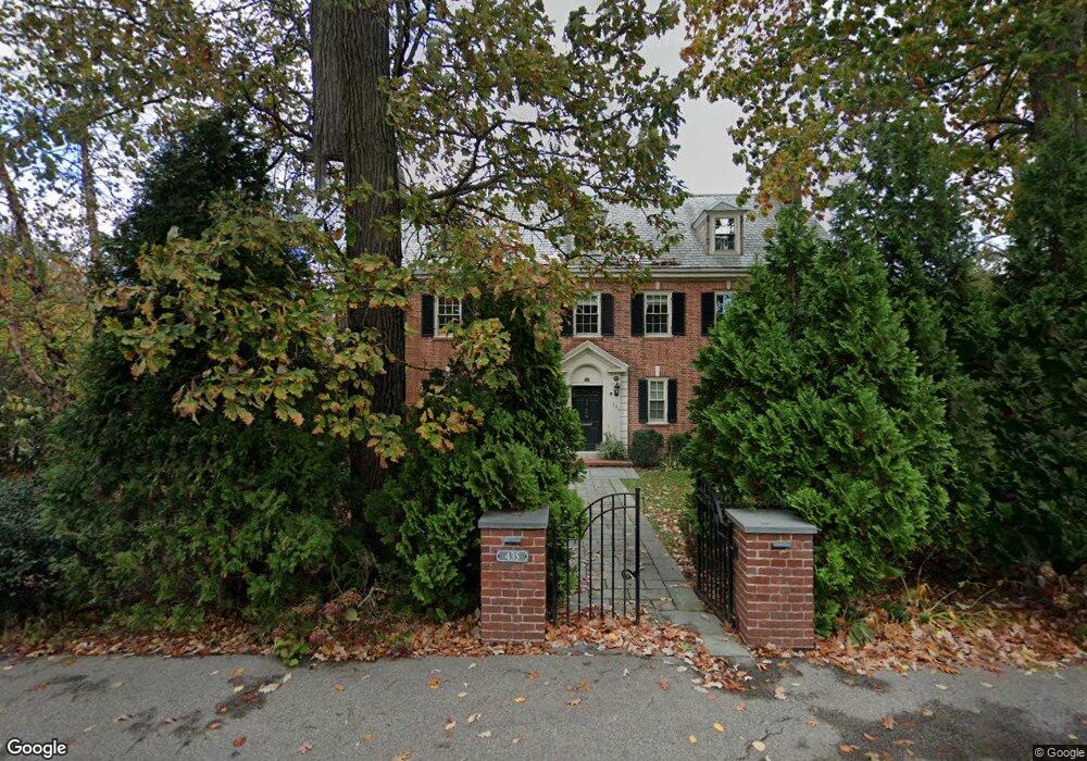
435 Heath St Chestnut Hill, MA 02467
Chestnut Hill NeighborhoodEstimated Value: $4,486,537 - $5,664,000
About This Home
This home is located at 435 Heath St, Chestnut Hill, MA 02467 and is currently estimated at $5,005,384, approximately $927 per square foot. 435 Heath St is a home located in Norfolk County with nearby schools including Heath Elementary School, Brookline High School, and Mount Alvernia Academy.
Ownership History
We collect this data history from publicly available records. To have your information removed, we recommend requesting removal directly through your county’s website.
Purchase Details
Home Financials for this Owner
Home Financials are based on the most recent Mortgage that was taken out on this home.Home Values in the Area
Average Home Value in this Area
Purchase History
We collect this data history from publicly available records. To have your information removed, we recommend requesting removal directly through your county’s website.
| Date | Buyer | Sale Price | Title Company |
|---|---|---|---|
| $2,571,000 | -- |
Mortgage History
We collect this data history from publicly available records. To have your information removed, we recommend requesting removal directly through your county’s website.
| Date | Status | Borrower | Loan Amount |
|---|---|---|---|
| Open | $1,500,000 |
Tax History
We collect this data history from publicly available records. To have your information removed, we recommend requesting removal directly through your county’s website.
| Year | Tax Paid | Tax Assessment Tax Assessment Total Assessment is a certain percentage of the fair market value that is determined by local assessors to be the total taxable value of land and additions on the property. | Land | Improvement |
|---|---|---|---|---|
| 2025 | $45,293 | $4,589,000 | $1,786,900 | $2,802,100 |
| 2024 | $43,301 | $4,432,000 | $1,718,200 | $2,713,800 |
| 2023 | $40,244 | $4,036,500 | $1,432,000 | $2,604,500 |
| 2022 | $39,173 | $3,844,300 | $1,363,800 | $2,480,500 |
| 2021 | $36,225 | $3,696,400 | $1,311,300 | $2,385,100 |
| 2020 | $33,527 | $3,547,800 | $1,192,100 | $2,355,700 |
| 2019 | $31,659 | $3,378,800 | $1,135,300 | $2,243,500 |
| 2018 | $31,931 | $3,375,400 | $1,199,000 | $2,176,400 |
| 2017 | $31,461 | $3,184,300 | $1,131,200 | $2,053,100 |
| 2016 | $31,010 | $2,976,000 | $1,057,200 | $1,918,800 |
| 2015 | $29,704 | $2,781,300 | $988,000 | $1,793,300 |
| 2014 | $30,776 | $2,702,000 | $898,100 | $1,803,900 |
Map
- 401 Heath St
- 460 Heath St
- 476 Heath St
- 1014 Boylston St
- 1148 Boylston St
- 630 Hammond St Unit 209
- 629 Hammond St Unit E205
- 0 Glenoe Rd
- 145 Woodland Rd
- 130 Fairway Rd
- 3 Glenoe Rd
- 40 Singletree Rd
- 764 Hammond St
- 9 Singletree Rd
- 142 Crafts Rd
- 188 Heath St
- 160 Reservoir Rd
- 124 Chestnut Hill Rd
- 180 Eliot St
- 394 Hammond St
Ask me questions while you tour the home.