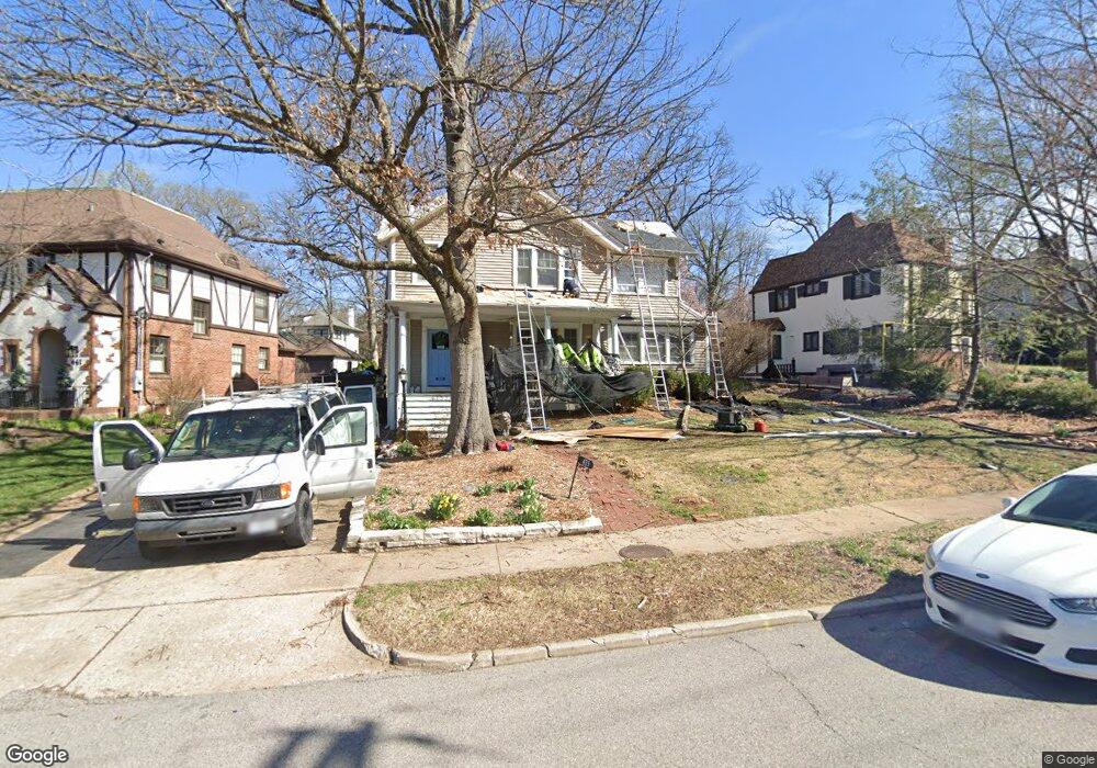
435 W Jackson Rd Saint Louis, MO 63119
Estimated Value: $697,957 - $995,000
4
Beds
2
Baths
2,202
Sq Ft
$371/Sq Ft
Est. Value
About This Home
This home is located at 435 W Jackson Rd, Saint Louis, MO 63119 and is currently estimated at $817,239, approximately $371 per square foot. 435 W Jackson Rd is a home located in St. Louis County with nearby schools including Bristol Elementary School, Hixson Middle School, and Webster Groves High School.
Ownership History
Date
Name
Owned For
Owner Type
Purchase Details
Closed on
May 27, 2005
Sold by
Bordeaux Robert Dean and Bordeaux Patricia George
Bought by
Moore Timothy H and Moore Richelle L
Current Estimated Value
Home Financials for this Owner
Home Financials are based on the most recent Mortgage that was taken out on this home.
Original Mortgage
$500,000
Outstanding Balance
$260,536
Interest Rate
5.83%
Mortgage Type
Fannie Mae Freddie Mac
Estimated Equity
$556,703
Purchase Details
Closed on
Dec 7, 2001
Sold by
Norlander Charles David and Norlander Honey C
Bought by
Bordeaux Robert Dean and Bordeaux Patricia George
Home Financials for this Owner
Home Financials are based on the most recent Mortgage that was taken out on this home.
Original Mortgage
$342,000
Interest Rate
5.75%
Create a Home Valuation Report for This Property
The Home Valuation Report is an in-depth analysis detailing your home's value as well as a comparison with similar homes in the area
Home Values in the Area
Average Home Value in this Area
Purchase History
| Date | Buyer | Sale Price | Title Company |
|---|---|---|---|
| Moore Timothy H | $569,000 | -- | |
| Bordeaux Robert Dean | $456,000 | -- |
Source: Public Records
Mortgage History
| Date | Status | Borrower | Loan Amount |
|---|---|---|---|
| Open | Moore Timothy H | $500,000 | |
| Previous Owner | Bordeaux Robert Dean | $342,000 |
Source: Public Records
Tax History
| Year | Tax Paid | Tax Assessment Tax Assessment Total Assessment is a certain percentage of the fair market value that is determined by local assessors to be the total taxable value of land and additions on the property. | Land | Improvement |
|---|---|---|---|---|
| 2025 | $7,561 | $120,880 | $85,790 | $35,090 |
| 2024 | $7,561 | $108,960 | $63,800 | $45,160 |
| 2023 | $7,524 | $108,960 | $63,800 | $45,160 |
| 2022 | $7,094 | $95,380 | $63,800 | $31,580 |
| 2021 | $7,069 | $95,380 | $63,800 | $31,580 |
| 2020 | $7,064 | $88,790 | $56,720 | $32,070 |
| 2019 | $7,014 | $88,790 | $56,720 | $32,070 |
| 2018 | $6,898 | $77,560 | $47,540 | $30,020 |
| 2017 | $6,852 | $77,560 | $47,540 | $30,020 |
| 2016 | $7,021 | $76,060 | $38,060 | $38,000 |
Source: Public Records
Map
Nearby Homes
- 457 Yorkshire Place
- 630 Sherwood Dr
- 618 S Rock Hill Rd
- 156 Gray Ave
- 24 Willow Oak Ln
- 1334 Beverly Ave
- 1 Glenkirk Ln
- 404 W Kirkham Ave
- 1139 Hawken Place Unit 6
- 234 Parkland Ave
- 401 Reavis Place Unit 29
- 539 Colebrook Dr Unit B
- 14 Armin Ln
- 216 Elm Ave
- 220 Chestnut Ave
- 938 Hawbrook Rd
- 617 Lee Ave
- 324 Stark Ct
- 1116 S Elm Ave
- 1005 W Frisco Ave
- 441 W Jackson Rd
- 425 W Jackson Rd
- 447 W Jackson Rd
- 430 Algonquin Place
- 404 Yorkshire Place
- 415 W Jackson Rd
- 420 Algonquin Place
- 451 W Jackson Rd
- 405 Yorkshire Place
- 436 Algonquin Place
- 410 Algonquin Place
- 410 Yorkshire Place
- 450 W Jackson Rd
- 455 W Jackson Rd
- 400 Algonquin Place
- 411 Yorkshire Place
- 406 W Jackson Rd
- 454 W Jackson Rd
- 461 W Jackson Rd
- 414 Yorkshire Place
Your Personal Tour Guide
Ask me questions while you tour the home.