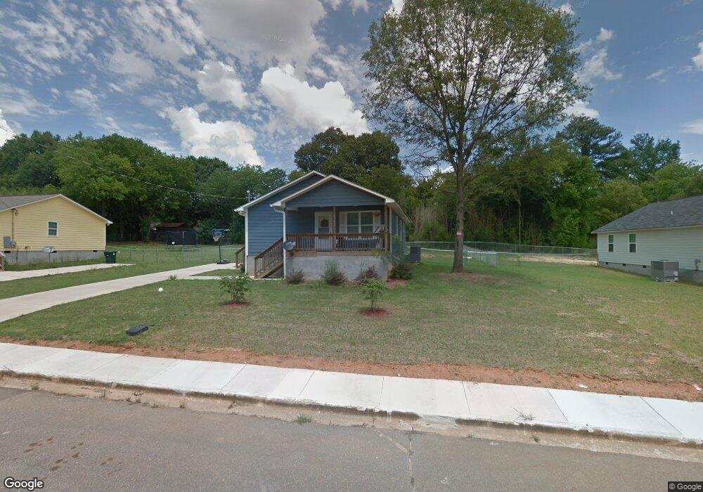
4352 Worsham Ave Macon, GA 31206
Estimated Value: $113,000 - $184,000
3
Beds
2
Baths
1,176
Sq Ft
$116/Sq Ft
Est. Value
About This Home
This home is located at 4352 Worsham Ave, Macon, GA 31206 and is currently estimated at $135,848, approximately $115 per square foot. 4352 Worsham Ave is a home with nearby schools including Bruce Elementary School, Rutland Middle School, and Rutland High School.
Ownership History
Date
Name
Owned For
Owner Type
Purchase Details
Closed on
Jun 29, 2018
Sold by
Macon Area Habitat For Humanity Inc
Bought by
Stewart Tomeekia
Current Estimated Value
Home Financials for this Owner
Home Financials are based on the most recent Mortgage that was taken out on this home.
Original Mortgage
$10,000
Interest Rate
4.6%
Mortgage Type
Unknown
Purchase Details
Closed on
Dec 19, 2014
Sold by
Walker Wesley Constr Co
Bought by
Macon Area Habitat For Humanity Inc
Create a Home Valuation Report for This Property
The Home Valuation Report is an in-depth analysis detailing your home's value as well as a comparison with similar homes in the area
Purchase History
| Date | Buyer | Sale Price | Title Company |
|---|---|---|---|
| Stewart Tomeekia | $95,000 | None Available | |
| Macon Area Habitat For Humanity Inc | -- | -- |
Source: Public Records
Mortgage History
| Date | Status | Borrower | Loan Amount |
|---|---|---|---|
| Previous Owner | Stewart Tomeekia | $10,000 |
Source: Public Records
Tax History
| Year | Tax Paid | Tax Assessment Tax Assessment Total Assessment is a certain percentage of the fair market value that is determined by local assessors to be the total taxable value of land and additions on the property. | Land | Improvement |
|---|---|---|---|---|
| 2025 | $1,328 | $61,028 | $3,100 | $57,928 |
| 2024 | $1,372 | $61,028 | $3,100 | $57,928 |
| 2023 | $547 | $46,546 | $3,100 | $43,446 |
| 2022 | $975 | $35,173 | $2,402 | $32,771 |
| 2021 | $664 | $24,469 | $1,529 | $22,940 |
| 2020 | $555 | $21,300 | $1,638 | $19,662 |
| 2019 | $483 | $19,334 | $1,310 | $18,024 |
| 2018 | $79 | $1,310 | $1,310 | $0 |
| 2017 | $30 | $806 | $806 | $0 |
| 2016 | $28 | $806 | $806 | $0 |
| 2015 | $34 | $806 | $806 | $0 |
| 2014 | $45 | $806 | $806 | $0 |
Source: Public Records
Map
Nearby Homes
- 4305 Marion Ave
- 4283 Irving Ave
- 4301 Marion Ave
- 4386 Mikado Ave
- 4054 Marion Ave
- 4268 Marion Ave
- 912 Thomas St
- 4409 Mikado Ave
- 4385 Mikado Ave
- 563 Carmen Place
- 4189 Marion Ave
- 4235 Mikado Ave
- 4319 Worsham Ave
- 4195 Mikado Ave
- 4209 Capitol Ave
- 1113 Schley St
- 4124 Worsham Ave
- 925 Troupe St
- 1211 Schley St
- 1213 Auburn Dr
- 4342 Worsham Ave
- 4362 Worsham Ave
- 4339 Worsham Ave
- 4374 Worsham Ave
- 4338 Worsham Ave
- 4363 Marion Ave
- 4355 Marion Ave
- 4351 Marion Ave
- 4333 Worsham Ave
- 4377 Marion Ave
- 4345 Marion Ave
- 4380 Worsham Ave
- 4332 Worsham Ave
- 4328 Worsham Ave
- 4329 Worsham Ave
- 4339 Marion Ave
- 4386 Worsham Ave
- 4387 Marion Ave
- 4333 Marion Ave
- 4323 Worsham Ave
Your Personal Tour Guide
Ask me questions while you tour the home.