436 Simpson Ave North Bend, OR 97459
Estimated Value: $374,000 - $447,334
3
Beds
2
Baths
1,786
Sq Ft
$230/Sq Ft
Est. Value
About This Home
This home is located at 436 Simpson Ave, North Bend, OR 97459 and is currently estimated at $410,667, approximately $229 per square foot. 436 Simpson Ave is a home located in Coos County with nearby schools including Hillcrest Elementary School, North Bay Elementary School, and North Bend Middle School.
Ownership History
Date
Name
Owned For
Owner Type
Purchase Details
Closed on
Jun 3, 2013
Sold by
The Secretary Of Housing & Urban Develop
Bought by
Collins Drew Anthony and Collins Kay M
Current Estimated Value
Purchase Details
Closed on
Oct 17, 2006
Sold by
Johnson Philip J and Johnson Diane E
Bought by
Gomes Dennis and Gomes Christie Anne
Home Financials for this Owner
Home Financials are based on the most recent Mortgage that was taken out on this home.
Original Mortgage
$184,500
Interest Rate
6.46%
Mortgage Type
Seller Take Back
Create a Home Valuation Report for This Property
The Home Valuation Report is an in-depth analysis detailing your home's value as well as a comparison with similar homes in the area
Purchase History
| Date | Buyer | Sale Price | Title Company |
|---|---|---|---|
| Collins Drew Anthony | $144,000 | Ticor Title Company | |
| Gomes Dennis | $185,000 | Fidelity National Title Co |
Source: Public Records
Mortgage History
| Date | Status | Borrower | Loan Amount |
|---|---|---|---|
| Previous Owner | Gomes Dennis | $184,500 |
Source: Public Records
Tax History
| Year | Tax Paid | Tax Assessment Tax Assessment Total Assessment is a certain percentage of the fair market value that is determined by local assessors to be the total taxable value of land and additions on the property. | Land | Improvement |
|---|---|---|---|---|
| 2025 | $3,264 | $220,510 | -- | -- |
| 2024 | $3,294 | $214,090 | -- | -- |
| 2023 | $3,198 | $207,860 | $0 | $0 |
| 2022 | $3,163 | $201,810 | $0 | $0 |
| 2021 | $3,241 | $195,940 | $0 | $0 |
| 2020 | $3,036 | $195,940 | $0 | $0 |
| 2019 | $2,903 | $184,700 | $0 | $0 |
| 2018 | $2,822 | $179,330 | $0 | $0 |
| 2017 | $2,743 | $174,110 | $0 | $0 |
| 2016 | $2,660 | $169,040 | $0 | $0 |
| 2015 | $2,477 | $164,120 | $0 | $0 |
| 2014 | $2,477 | $159,340 | $0 | $0 |
Source: Public Records
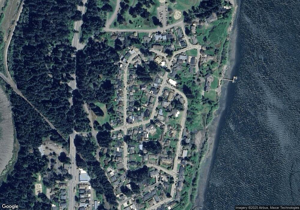
Map
Nearby Homes
- 1368 Bayview St
- 451 Simpson Ave
- 1166 Winsor Ave
- 1524 Sheridan Ave
- 1489 Union Ave
- 1541 Union Ave
- 1508 Union Ave
- 1545 Meade St
- 0 Monroe St
- 1902 Monroe St
- 70298 Highway 101
- 2318 Liberty St
- 0 Oregon Ave
- 790 Oregon Ave
- 1963 Broadway Ave
- 66528 E Bay Rd
- 2253 Pony Creek Rd
- 2402 Stephanie Ln
- 2495 Chester St
- 2453 Stephanie Ln
- 448 Simpson Ave
- 428 Simpson Ave
- 1115 Winsor Ave
- 420 Simpson Ave
- 450 Simpson Ave
- 1123 Winsor Ave
- 441 Simpson Ave
- 1129 Winsor Ave
- 416 Simpson Ave
- 433 Simpson Ave
- 1133 Winsor Ave
- 452 Simpson Ave
- 1399 Bayview St
- 414 Simpson Ave
- 429 Simpson Ave
- 1391 Bayview St
- 1137 Winsor Ave
- 454 Simpson Ave
- 425 Simpson Ave
- 421 Simpson Ave
Your Personal Tour Guide
Ask me questions while you tour the home.