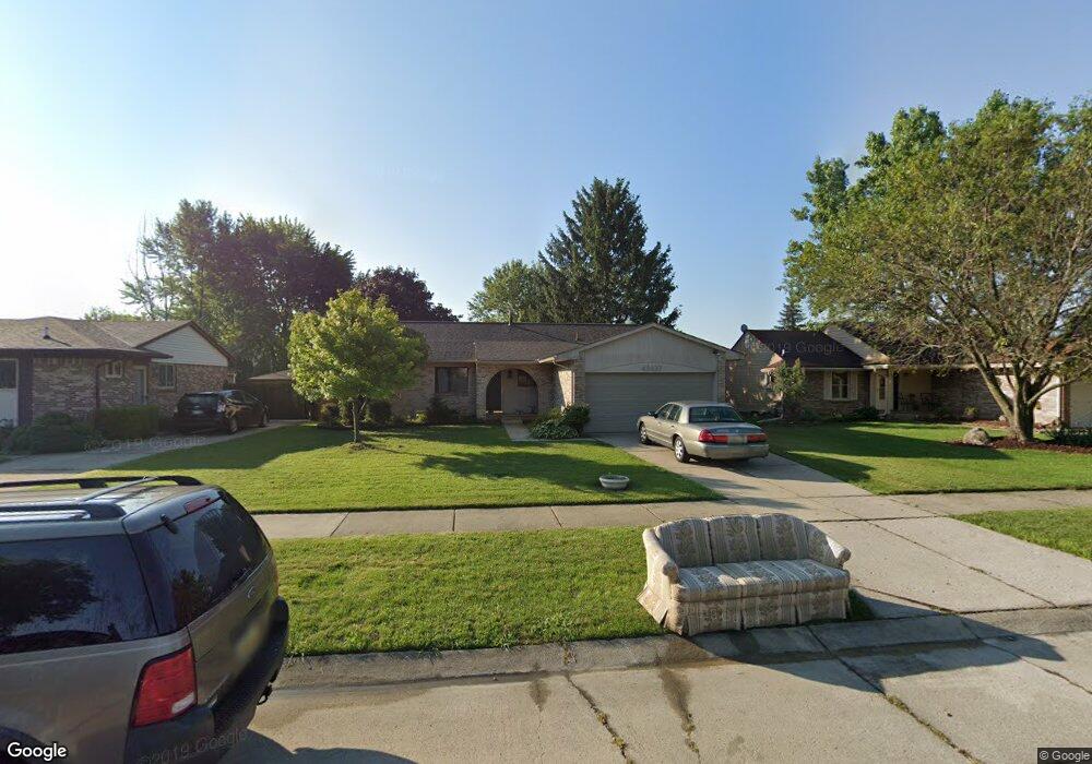
43637 Emrick Dr Unit Bldg-Unit Canton, MI 48187
Estimated Value: $320,000 - $346,000
Studio
2
Baths
1,108
Sq Ft
$304/Sq Ft
Est. Value
About This Home
This home is located at 43637 Emrick Dr Unit Bldg-Unit, Canton, MI 48187 and is currently estimated at $337,340, approximately $304 per square foot. 43637 Emrick Dr Unit Bldg-Unit is a home located in Wayne County with nearby schools including Canton High School, Discovery Middle School, and Salem High School.
Ownership History
Date
Name
Owned For
Owner Type
Purchase Details
Closed on
Jun 28, 2018
Sold by
Connell Michael P
Bought by
Giesler Andrew and Giesler Nicole
Current Estimated Value
Home Financials for this Owner
Home Financials are based on the most recent Mortgage that was taken out on this home.
Original Mortgage
$212,087
Outstanding Balance
$183,395
Interest Rate
4.4%
Mortgage Type
FHA
Estimated Equity
$153,945
Purchase Details
Closed on
Apr 22, 2015
Sold by
Connell Suzanne R
Bought by
Connell Michael P
Purchase Details
Closed on
Jun 13, 1994
Sold by
Krzeminski Michael J
Bought by
Krzeminski Michael and Krzeminski Cheryl
Home Financials for this Owner
Home Financials are based on the most recent Mortgage that was taken out on this home.
Original Mortgage
$105,850
Interest Rate
8.61%
Mortgage Type
FHA
Create a Home Valuation Report for This Property
The Home Valuation Report is an in-depth analysis detailing your home's value as well as a comparison with similar homes in the area
Home Values in the Area
Average Home Value in this Area
Purchase History
We collect this data history from publicly available records. To have your information removed, we recommend requesting removal directly through your county’s website.
| Date | Buyer | Sale Price | Title Company |
|---|---|---|---|
| Giesler Andrew | $216,000 | First American Title Ins Co | |
| Connell Michael P | -- | None Available | |
| Krzeminski Michael | $109,000 | -- |
Source: Public Records
Mortgage History
We collect this data history from publicly available records. To have your information removed, we recommend requesting removal directly through your county’s website.
| Date | Status | Borrower | Loan Amount |
|---|---|---|---|
| Open | Giesler Andrew | $212,087 | |
| Previous Owner | Krzeminski Michael | $105,850 |
Source: Public Records
Tax History
| Year | Tax Paid | Tax Assessment Tax Assessment Total Assessment is a certain percentage of the fair market value that is determined by local assessors to be the total taxable value of land and additions on the property. | Land | Improvement |
|---|---|---|---|---|
| 2025 | $2,097 | $141,800 | $0 | $0 |
| 2024 | $2,037 | $130,600 | $0 | $0 |
| 2023 | $1,942 | $122,600 | $0 | $0 |
| 2022 | $4,266 | $111,700 | $0 | $0 |
| 2021 | $4,139 | $109,200 | $0 | $0 |
| 2020 | $4,087 | $102,100 | $0 | $0 |
| 2019 | $4,014 | $95,980 | $0 | $0 |
| 2018 | $1,179 | $87,350 | $0 | $0 |
| 2017 | $3,016 | $82,600 | $0 | $0 |
| 2016 | $2,651 | $82,100 | $0 | $0 |
| 2015 | $6,476 | $76,530 | $0 | $0 |
| 2013 | $6,274 | $65,210 | $0 | $0 |
| 2010 | -- | $64,280 | $37,262 | $27,018 |
Source: Public Records
Map
Nearby Homes
- 43603 Emrick Dr
- 1344 Saltz Ct
- 1567 Marlowe St
- 58560 Stuart Dr
- 1399 Elmhurst St
- 1607 Brookline St
- 44150 Duchess Dr
- 1822 N Sheldon Rd
- 5903 Beaufort Dr
- 5855 Wedgewood Rd
- 2057 W Franklin Dr Unit 41
- 42739 Lilley Pointe Dr Unit 119
- 42519 Addison Ave
- 42764 Lilley Pointe Dr Unit 165
- 42779 Lilley Pointe Dr Unit 152
- 42789 Lilley Pointe Dr Unit 146
- 43737 Westminister Way
- 2041 W Franklin Dr Unit 48
- 44226 Harsdale Dr
- 44089 Harsdale Dr
- 43637 Emrick Dr
- 43649 Emrick Dr
- 43615 Emrick Dr
- 43560 Geri Dr
- 43671 Emrick Dr
- 43584 Geri Dr
- 43536 Geri Dr
- 43608 Geri Dr
- 43593 Emrick Dr
- 43616 Emrick Dr
- 43638 Emrick Dr
- 43693 Emrick Dr
- 43650 Emrick Dr
- 43672 Emrick Dr Unit Bldg-Unit
- 43672 Emrick Dr
- 43512 Geri Dr
- 43632 Geri Dr
- 43594 Emrick Dr
- 6100 Branch Dr
- 6122 Branch Dr
Your Personal Tour Guide
Ask me questions while you tour the home.