4370 Highway 198 Carnesville, GA 30521
Estimated Value: $292,648 - $350,000
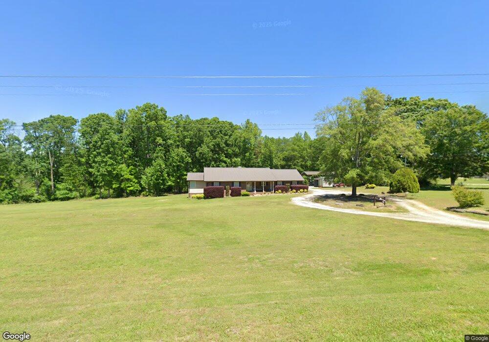
About This Home
This home is located at 4370 Highway 198, Carnesville, GA 30521 and is currently estimated at $327,412, approximately $154 per square foot. 4370 Highway 198 is a home located in Franklin County with nearby schools including Franklin County High School.
Ownership History
We collect this data history from publicly available records. To have your information removed, we recommend requesting removal directly through your county’s website.
Purchase Details
Home Financials for this Owner
Home Financials are based on the most recent Mortgage that was taken out on this home.Purchase Details
Home Financials for this Owner
Home Financials are based on the most recent Mortgage that was taken out on this home.Purchase Details
Purchase Details
Purchase History
We collect this data history from publicly available records. To have your information removed, we recommend requesting removal directly through your county’s website.
| Date | Buyer | Sale Price | Title Company |
|---|---|---|---|
| $180,000 | -- | ||
| $80,000 | -- | ||
| -- | -- | ||
| -- | -- |
Mortgage History
We collect this data history from publicly available records. To have your information removed, we recommend requesting removal directly through your county’s website.
| Date | Status | Borrower | Loan Amount |
|---|---|---|---|
| Open | $176,739 | ||
| Previous Owner | $75,650 |
Tax History
We collect this data history from publicly available records. To have your information removed, we recommend requesting removal directly through your county’s website.
| Year | Tax Paid | Tax Assessment Tax Assessment Total Assessment is a certain percentage of the fair market value that is determined by local assessors to be the total taxable value of land and additions on the property. | Land | Improvement |
|---|---|---|---|---|
| 2025 | $2,366 | $102,408 | $12,860 | $89,548 |
| 2024 | $2,106 | $88,484 | $5,730 | $82,754 |
| 2023 | $2,090 | $81,011 | $5,209 | $75,802 |
| 2022 | $1,899 | $73,593 | $4,063 | $69,530 |
| 2021 | $1,800 | $65,427 | $4,063 | $61,364 |
| 2020 | $1,485 | $55,403 | $4,063 | $51,340 |
| 2019 | $1,435 | $55,403 | $4,063 | $51,340 |
| 2018 | $1,265 | $49,079 | $4,889 | $44,190 |
| 2017 | $1,315 | $49,079 | $4,889 | $44,190 |
| 2016 | $1,180 | $42,444 | $4,889 | $37,555 |
| 2015 | -- | $42,444 | $4,889 | $37,555 |
| 2014 | -- | $42,444 | $4,889 | $37,555 |
| 2013 | -- | $43,570 | $4,889 | $38,681 |
Map
- 6343 Georgia 198
- 260 Falcon Ln
- 262 Garrison Rd
- 300 Rolling Rock Rd
- 0 Rolling Rock Rd Unit 10785607
- 1363 McFarlin Bridge Rd
- 2331 Kesler Rd
- 0 Kesler Rd Unit 10664561
- 2411 Kesler Rd
- 2630 Prospect Rd
- 5880 Highway 320
- 0 Poplar Mountain Ln
- 4638 Highway 63
- 1492 Highway 198
- 249 Hunters Creek Trail
- 2529 McFarlin Bridge Rd
- 2533 & 2529 McFarlin Bridge Rd
- 0 Old Federal Rd Unit 6931372
- 1224 Cedar Ridge Rd
- 319 Hunters Creek Rd
- 4635 Highway 198
- 4534 Highway 198
- 4737 Highway 198
- 4445 Highway 198
- 4860 Highway 198
- 4900 Highway 198
- 4610 Highway 198
- 4291 Highway 198
- 4291 Highway 198
- 4291 Georgia 198
- 4295 Highway 198
- 4221 Highway 198
- 4033 Georgia 198
- 871 Georgia 198
- 4145 Highway 198
- 2201 New Bethel Rd
- 2121 New Bethel Rd
- 5085 Highway 198
- 2045 New Bethel Rd
- 4085 Highway 198
Ask me questions while you tour the home.