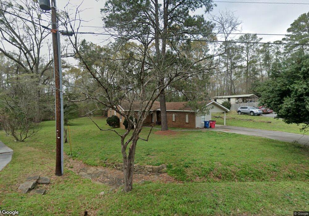
4372 Lyndy Dr Macon, GA 31216
Estimated Value: $229,000 - $271,000
3
Beds
3
Baths
2,087
Sq Ft
$118/Sq Ft
Est. Value
About This Home
This home is located at 4372 Lyndy Dr, Macon, GA 31216 and is currently estimated at $245,538, approximately $117 per square foot. 4372 Lyndy Dr is a home located in Bibb County with nearby schools including Heard Elementary School, Rutland Middle School, and Rutland High School.
Ownership History
Date
Name
Owned For
Owner Type
Purchase Details
Closed on
Jul 17, 2018
Sold by
Gottwals Properties Llc
Bought by
Morris Bank
Current Estimated Value
Purchase Details
Closed on
Jul 24, 1996
Sold by
Gottwals Charlie Mack
Bought by
Gottwals Gherry
Create a Home Valuation Report for This Property
The Home Valuation Report is an in-depth analysis detailing your home's value as well as a comparison with similar homes in the area
Purchase History
| Date | Buyer | Sale Price | Title Company |
|---|---|---|---|
| Morris Bank | $84,800 | None Available | |
| Gottswals Properties Llc | $106,000 | None Available | |
| Gottwals Gherry | -- | -- |
Source: Public Records
Tax History
| Year | Tax Paid | Tax Assessment Tax Assessment Total Assessment is a certain percentage of the fair market value that is determined by local assessors to be the total taxable value of land and additions on the property. | Land | Improvement |
|---|---|---|---|---|
| 2025 | $1,779 | $72,407 | $12,000 | $60,407 |
| 2024 | $1,837 | $72,330 | $12,000 | $60,330 |
| 2023 | $1,600 | $62,997 | $12,000 | $50,997 |
| 2022 | $2,053 | $59,301 | $8,308 | $50,993 |
| 2021 | $1,936 | $50,943 | $8,308 | $42,635 |
| 2020 | $1,893 | $48,763 | $8,308 | $40,455 |
| 2019 | $1,502 | $38,381 | $6,647 | $31,734 |
| 2018 | $1,801 | $34,038 | $6,647 | $27,391 |
| 2017 | $1,013 | $34,038 | $6,647 | $27,391 |
| 2016 | $935 | $34,038 | $6,647 | $27,391 |
| 2015 | $1,324 | $34,038 | $6,647 | $27,391 |
| 2014 | $1,616 | $39,936 | $7,893 | $32,043 |
Source: Public Records
Map
Nearby Homes
- 4350 Jones Rd
- 6662 Goodall Mill Rd
- 4202 Cyndy Jo Cir
- 4206 Cyndy Jo Cir
- 114 Alayna Ct
- 344 Cody Dr
- 332 Cody Dr
- 303 Cody Dr
- 320 Cody Dr
- 108 Alayna Ct
- 306 Mill Meadow Rd
- 6233 Skipperton Rd
- 330 Cody Dr
- 104 Alayna Ct
- 145 Goodall Woods Dr
- 163 Goodall Woods Dr
- 102 Haylie Ct
- 360 Golden Ocala Blvd
- 1015 Homestead Dr Unit HI200
- 1013 Homestead Dr
- 4394 Lyndy Dr
- 4348 Lyndy Dr
- 4347 Lyndy Dr
- 4360 Lyndy Dr
- 4400 Jones Rd
- 6657 Goodall Mill Rd
- 6663 Goodall Mill Rd
- 6663 Goodall Mill Rd Unit 302
- 6635 Goodall Mill Rd
- 4418 Jones Rd
- 6645 Goodall Mill Rd
- 6625 Goodall Mill Rd
- 6669 Goodall Mill Rd
- 6669 Goodall Mill Rd Unit 129
- 4351 Jones Rd
- 4393 Jones Rd
- 4430 Jones Rd
- 4401 Jones Rd
- 4330 Jones Rd
- 6656 Goodall Mill Rd
Your Personal Tour Guide
Ask me questions while you tour the home.