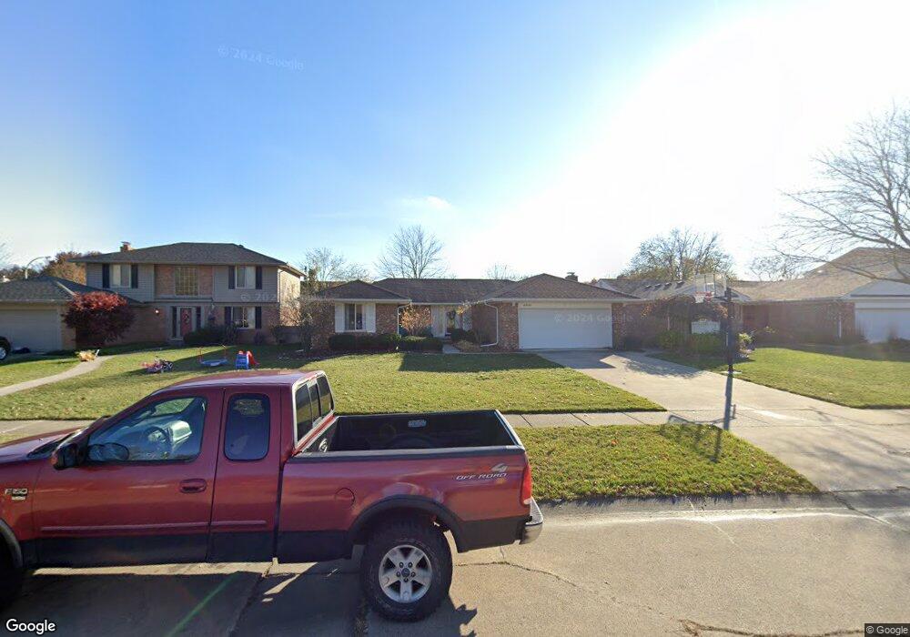
43721 Bannockburn Dr Canton, MI 48187
Estimated Value: $328,000 - $387,000
Studio
2
Baths
1,499
Sq Ft
$240/Sq Ft
Est. Value
About This Home
This home is located at 43721 Bannockburn Dr, Canton, MI 48187 and is currently estimated at $359,201, approximately $239 per square foot. 43721 Bannockburn Dr is a home located in Wayne County with nearby schools including Canton High School, Discovery Middle School, and Salem High School.
Ownership History
Date
Name
Owned For
Owner Type
Purchase Details
Closed on
May 9, 2024
Sold by
Conway Richard J and Conway Barbara A
Bought by
Secor Austin M and Secor Katherine C
Current Estimated Value
Home Financials for this Owner
Home Financials are based on the most recent Mortgage that was taken out on this home.
Original Mortgage
$342,000
Outstanding Balance
$337,149
Interest Rate
6.82%
Mortgage Type
New Conventional
Estimated Equity
$22,052
Purchase Details
Closed on
Jun 18, 2008
Sold by
Goodsell Michael N
Bought by
Nationstar Mortgage Llc and Centex Home Equity Co Llc
Purchase Details
Closed on
Aug 12, 2005
Sold by
Conway Richard P and Conway Barbara A
Bought by
Conway Richard P
Create a Home Valuation Report for This Property
The Home Valuation Report is an in-depth analysis detailing your home's value as well as a comparison with similar homes in the area
Home Values in the Area
Average Home Value in this Area
Purchase History
| Date | Buyer | Sale Price | Title Company |
|---|---|---|---|
| Secor Austin M | $360,000 | None Listed On Document | |
| Conway Richard P | -- | None Listed On Document | |
| Conway Richard P | -- | None Listed On Document | |
| Nationstar Mortgage Llc | $95,200 | None Available | |
| Conway Richard P | -- | None Available |
Source: Public Records
Mortgage History
| Date | Status | Borrower | Loan Amount |
|---|---|---|---|
| Open | Secor Austin M | $342,000 |
Source: Public Records
Tax History
| Year | Tax Paid | Tax Assessment Tax Assessment Total Assessment is a certain percentage of the fair market value that is determined by local assessors to be the total taxable value of land and additions on the property. | Land | Improvement |
|---|---|---|---|---|
| 2025 | $2,914 | $161,800 | $0 | $0 |
| 2024 | $1,690 | $154,000 | $0 | $0 |
| 2023 | $1,611 | $135,200 | $0 | $0 |
| 2022 | $3,648 | $125,100 | $0 | $0 |
| 2021 | $3,535 | $121,600 | $0 | $0 |
| 2020 | $3,480 | $115,100 | $0 | $0 |
| 2019 | $3,419 | $110,080 | $0 | $0 |
| 2018 | $1,370 | $99,610 | $0 | $0 |
| 2017 | $3,623 | $98,300 | $0 | $0 |
| 2016 | $3,139 | $95,000 | $0 | $0 |
| 2015 | $7,525 | $87,110 | $0 | $0 |
| 2013 | $7,290 | $77,980 | $0 | $0 |
| 2010 | -- | $73,850 | $34,867 | $38,983 |
Source: Public Records
Map
Nearby Homes
- 835 Coldrose Way
- 47527 Ellery Ln
- 49772 Shoreline Dr
- 44035 Westminister Way
- 6852 New Providence Way Unit 104
- 6962 Harvard Ln Unit 120
- 5806 Wedgewood Rd
- 7264 Irongate Rd
- 44432 Newburyport Dr
- 44652 Nantucket Dr
- 42542 Saratoga Rd Unit 26
- 7125 N Lilley Rd
- 58560 Stuart Dr
- 7533 Hillsboro Dr
- 48590 Ford Rd
- 1822 N Sheldon Rd
- 1567 Marlowe St
- 43086 Versailles Rd
- 7527 Green Meadow Ln Unit 115
- 0000 Ford
- 43735 Bannockburn Dr
- 43707 Bannockburn Dr
- 43749 Bannockburn Dr
- 43722 Hanford Rd
- 43736 Hanford Rd
- 43708 Hanford Rd
- 43711 Leeann Ln
- 43750 Hanford Rd
- 43763 Bannockburn Dr
- 43599 Bannockburn Dr
- 43906 Southampton Dr
- 43737 Leeann Ln
- 43590 Hanford Rd
- 43877 Bannockburn Dr
- 43710 Leeann Ln
- 43587 Bannockburn Dr
- 43804 Hanford Rd
- 43594 Bannockburn Dr
- 43755 Leeann Ln
- 43726 Leeann Ln
Your Personal Tour Guide
Ask me questions while you tour the home.