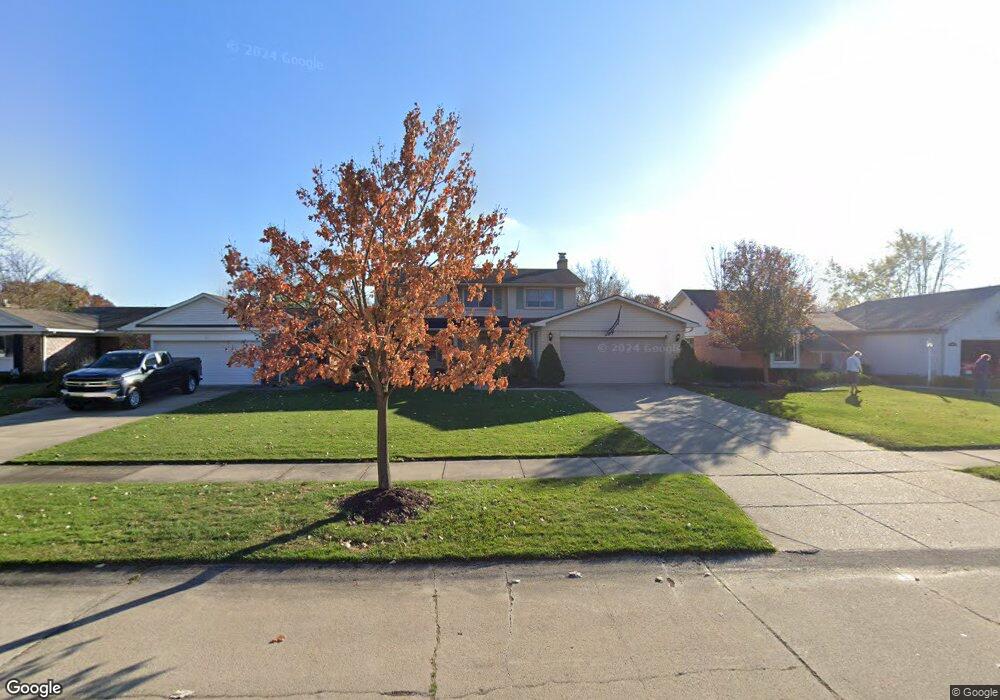
43749 Bannockburn Dr Canton, MI 48187
Estimated Value: $384,383 - $419,000
4
Beds
3
Baths
1,813
Sq Ft
$225/Sq Ft
Est. Value
About This Home
This home is located at 43749 Bannockburn Dr, Canton, MI 48187 and is currently estimated at $408,596, approximately $225 per square foot. 43749 Bannockburn Dr is a home located in Wayne County with nearby schools including Canton High School, Discovery Middle School, and Salem High School.
Ownership History
Date
Name
Owned For
Owner Type
Purchase Details
Closed on
Feb 29, 2016
Sold by
Schembri Anthony J and Schembri Jennifer
Bought by
Schembri Anthony J
Current Estimated Value
Home Financials for this Owner
Home Financials are based on the most recent Mortgage that was taken out on this home.
Original Mortgage
$178,400
Outstanding Balance
$141,856
Interest Rate
3.79%
Mortgage Type
New Conventional
Estimated Equity
$266,740
Purchase Details
Closed on
Aug 7, 2002
Sold by
Mifsud Carmel
Bought by
Schembri Anthony J
Purchase Details
Closed on
Jul 31, 1998
Sold by
Carw Brigid E and Carw Edward R
Bought by
Mifsud Carmel
Purchase Details
Closed on
Nov 29, 1996
Sold by
Sutphin John N and Sutphin Lynne
Bought by
Carwan Edward R and Carwan Bridgid
Create a Home Valuation Report for This Property
The Home Valuation Report is an in-depth analysis detailing your home's value as well as a comparison with similar homes in the area
Home Values in the Area
Average Home Value in this Area
Purchase History
| Date | Buyer | Sale Price | Title Company |
|---|---|---|---|
| Schembri Anthony J | -- | Title Source Inc | |
| Schembri Anthony J | $235,000 | -- | |
| Mifsud Carmel | $170,500 | -- | |
| Carwan Edward R | $160,000 | -- |
Source: Public Records
Mortgage History
| Date | Status | Borrower | Loan Amount |
|---|---|---|---|
| Open | Schembri Anthony J | $178,400 |
Source: Public Records
Tax History
| Year | Tax Paid | Tax Assessment Tax Assessment Total Assessment is a certain percentage of the fair market value that is determined by local assessors to be the total taxable value of land and additions on the property. | Land | Improvement |
|---|---|---|---|---|
| 2025 | $1,846 | $166,900 | $0 | $0 |
| 2024 | $1,794 | $158,900 | $0 | $0 |
| 2023 | $1,710 | $139,700 | $0 | $0 |
| 2022 | $3,856 | $129,300 | $0 | $0 |
| 2021 | $3,737 | $125,500 | $0 | $0 |
| 2020 | $3,679 | $119,000 | $0 | $0 |
| 2019 | $3,615 | $113,670 | $0 | $0 |
| 2018 | $1,453 | $105,120 | $0 | $0 |
| 2017 | $3,816 | $103,400 | $0 | $0 |
| 2016 | $3,316 | $99,900 | $0 | $0 |
| 2015 | $7,986 | $92,090 | $0 | $0 |
| 2013 | $7,736 | $82,970 | $0 | $0 |
| 2010 | -- | $80,950 | $34,881 | $46,069 |
Source: Public Records
Map
Nearby Homes
- 835 Coldrose Way
- 44035 Westminister Way
- 47527 Ellery Ln
- 49772 Shoreline Dr
- 6852 New Providence Way Unit 104
- 6907 Harvard Ln
- 44652 Nantucket Dr
- 5806 Wedgewood Rd
- 44432 Newburyport Dr
- 7264 Irongate Rd
- 58560 Stuart Dr
- 1987 E Franklin Dr Unit 65
- 44447 Savery Dr Unit 126
- 7125 N Lilley Rd
- 42542 Saratoga Rd Unit 26
- 48590 Ford Rd
- 7533 Hillsboro Dr
- 1822 N Sheldon Rd
- 44528 Whitman Ave
- 45193 Quaker Hill Dr
- 43735 Bannockburn Dr
- 43763 Bannockburn Dr
- 43721 Bannockburn Dr
- 43877 Bannockburn Dr
- 43750 Hanford Rd
- 43736 Hanford Rd
- 43906 Southampton Dr
- 43722 Hanford Rd
- 43804 Hanford Rd
- 43707 Bannockburn Dr
- 43909 Bannockburn Dr
- 868 Bellwood Ln
- 880 Bellwood Ln
- 896 Bellwood Ln
- 43711 Leeann Ln
- 43818 Hanford Rd
- 43708 Hanford Rd
- 43918 Southampton Dr
- 43923 Bannockburn Dr
- 43737 Leeann Ln
Your Personal Tour Guide
Ask me questions while you tour the home.