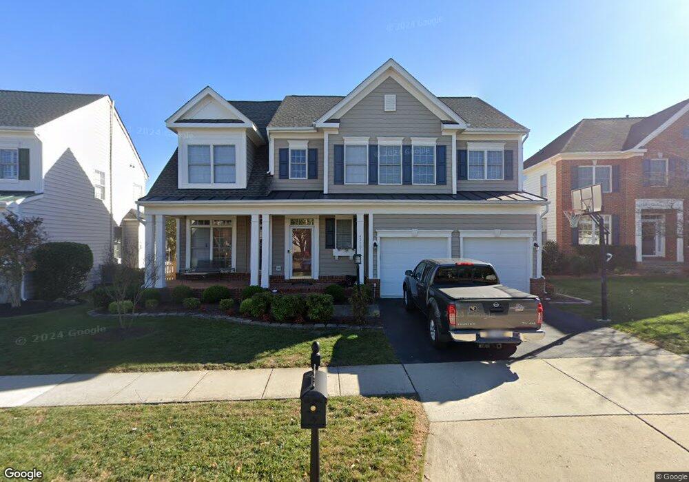
43781 Farmstead Dr Leesburg, VA 20176
Estimated Value: $1,003,188 - $1,047,000
4
Beds
3
Baths
2,569
Sq Ft
$400/Sq Ft
Est. Value
About This Home
This home is located at 43781 Farmstead Dr, Leesburg, VA 20176 and is currently estimated at $1,027,547, approximately $399 per square foot. 43781 Farmstead Dr is a home located in Loudoun County with nearby schools including Steuart W. Weller Elementary School, Belmont Ridge Middle, and Riverside High.
Ownership History
Date
Name
Owned For
Owner Type
Purchase Details
Closed on
Mar 9, 2004
Sold by
Lansdowne Comm Dev
Bought by
Hite John
Current Estimated Value
Home Financials for this Owner
Home Financials are based on the most recent Mortgage that was taken out on this home.
Original Mortgage
$377,600
Outstanding Balance
$176,226
Interest Rate
5.65%
Mortgage Type
New Conventional
Estimated Equity
$851,321
Create a Home Valuation Report for This Property
The Home Valuation Report is an in-depth analysis detailing your home's value as well as a comparison with similar homes in the area
Home Values in the Area
Average Home Value in this Area
Purchase History
We collect this data history from publicly available records. To have your information removed, we recommend requesting removal directly through your county’s website.
| Date | Buyer | Sale Price | Title Company |
|---|---|---|---|
| Hite John | $472,000 | -- |
Source: Public Records
Mortgage History
We collect this data history from publicly available records. To have your information removed, we recommend requesting removal directly through your county’s website.
| Date | Status | Borrower | Loan Amount |
|---|---|---|---|
| Open | Hite John | $377,600 |
Source: Public Records
Tax History
| Year | Tax Paid | Tax Assessment Tax Assessment Total Assessment is a certain percentage of the fair market value that is determined by local assessors to be the total taxable value of land and additions on the property. | Land | Improvement |
|---|---|---|---|---|
| 2025 | $7,691 | $955,460 | $337,900 | $617,560 |
| 2024 | $7,573 | $875,440 | $297,900 | $577,540 |
| 2023 | $7,258 | $829,530 | $297,900 | $531,630 |
| 2022 | $7,090 | $796,620 | $257,900 | $538,720 |
| 2021 | $6,616 | $675,050 | $227,900 | $447,150 |
| 2020 | $6,582 | $635,910 | $227,900 | $408,010 |
| 2019 | $6,554 | $627,210 | $227,900 | $399,310 |
| 2018 | $6,458 | $595,230 | $217,900 | $377,330 |
| 2017 | $6,480 | $576,010 | $217,900 | $358,110 |
| 2016 | $6,526 | $569,990 | $0 | $0 |
| 2015 | $6,815 | $382,510 | $0 | $382,510 |
| 2014 | $6,703 | $382,430 | $0 | $382,430 |
Source: Public Records
Map
Nearby Homes
- 19084 Grouse Terrace
- 43850 Kittiwake Dr
- 19194 Greystone Square
- 43642 Hartshire Terrace
- 43917 Maritime Song Terrace
- 18989 Coral Reef Square
- 43575 Purple Aster Terrace
- 43668 Mcdowell Square
- 43569 Wild Indigo Terrace
- 43662 Mcdowell Square
- 19277 Harlow Square Unit D-422
- 19209 Kepharts Mill Terrace
- 43567 Michigan Square
- 19189 Kepharts Mill Terrace
- 19416 Coppermine Square
- 43662 Chicacoan Creek Square
- 43537 Mahala St
- 19446 Coppermine Square
- 43531 Mahala St
- 43609 Mcdowell Square
- 19222 Coton Hall St
- 19226 Coton Hall St
- 19218 Coton Hall St
- 19230 Coton Hall St
- 19214 Coton Hall St
- 43777 Farmstead Dr
- 43773 Farmstead Dr
- 19234 Coton Hall St
- 19219 Coton Hall St
- 43769 Farmstead Dr
- 19227 Coton Hall St
- 19206 Coton Hall St
- 19215 Coton Hall St
- 43785 Farmstead Dr
- 19231 Coton Hall St
- 19211 Coton Hall St
- 43765 Farmstead Dr
- 19235 Coton Hall St
- 19238 Coton Hall St
- 19202 Coton Hall St
Your Personal Tour Guide
Ask me questions while you tour the home.