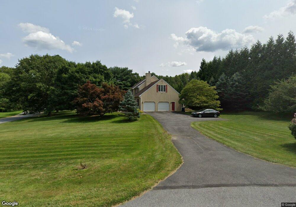
438 Merrick Ln Kennett Square, PA 19348
East Marlborough NeighborhoodEstimated Value: $797,035 - $892,000
4
Beds
3
Baths
3,051
Sq Ft
$277/Sq Ft
Est. Value
About This Home
This home is located at 438 Merrick Ln, Kennett Square, PA 19348 and is currently estimated at $843,759, approximately $276 per square foot. 438 Merrick Ln is a home located in Chester County with nearby schools including Pocopson Elementary School, Charles F. Patton Middle School, and Unionville High School.
Ownership History
Date
Name
Owned For
Owner Type
Purchase Details
Closed on
Sep 25, 2000
Sold by
Wielgus Deirdre F
Bought by
Harkins Shawn M and Harkins Mia P
Current Estimated Value
Home Financials for this Owner
Home Financials are based on the most recent Mortgage that was taken out on this home.
Original Mortgage
$236,000
Outstanding Balance
$86,190
Interest Rate
7.94%
Estimated Equity
$757,569
Purchase Details
Closed on
Jul 16, 1999
Sold by
Block Marcus T and Block Jean D
Bought by
Wielgus Deirdre F
Home Financials for this Owner
Home Financials are based on the most recent Mortgage that was taken out on this home.
Original Mortgage
$283,500
Interest Rate
7.65%
Mortgage Type
Balloon
Create a Home Valuation Report for This Property
The Home Valuation Report is an in-depth analysis detailing your home's value as well as a comparison with similar homes in the area
Home Values in the Area
Average Home Value in this Area
Purchase History
| Date | Buyer | Sale Price | Title Company |
|---|---|---|---|
| Harkins Shawn M | $315,000 | -- | |
| Wielgus Deirdre F | $315,000 | -- |
Source: Public Records
Mortgage History
| Date | Status | Borrower | Loan Amount |
|---|---|---|---|
| Open | Harkins Shawn M | $236,000 | |
| Previous Owner | Wielgus Deirdre F | $283,500 |
Source: Public Records
Tax History
| Year | Tax Paid | Tax Assessment Tax Assessment Total Assessment is a certain percentage of the fair market value that is determined by local assessors to be the total taxable value of land and additions on the property. | Land | Improvement |
|---|---|---|---|---|
| 2025 | $1,904 | $282,760 | $94,530 | $188,230 |
| 2024 | $1,904 | $282,760 | $94,530 | $188,230 |
| 2023 | $1,904 | $282,760 | $94,530 | $188,230 |
| 2022 | $1,584 | $282,760 | $94,530 | $188,230 |
| 2021 | $1,904 | $282,760 | $94,530 | $188,230 |
| 2020 | $1,532 | $282,760 | $94,530 | $188,230 |
| 2019 | $1,853 | $282,760 | $94,530 | $188,230 |
| 2018 | $1,853 | $282,760 | $94,530 | $188,230 |
| 2017 | $1,853 | $282,760 | $94,530 | $188,230 |
| 2016 | $1,121 | $282,760 | $94,530 | $188,230 |
| 2015 | $1,121 | $282,760 | $94,530 | $188,230 |
| 2014 | $1,121 | $282,760 | $94,530 | $188,230 |
Source: Public Records
Map
Nearby Homes
- 712 Wickersham Ln
- 875 Locust Grove Rd
- 765 Folly Hill Rd
- 1850 Brooks Rd
- 327 E Street Rd
- 736 Northbrook Rd Unit L3
- 736 Northbrook Rd Unit L2
- 736 Northbrook Rd Unit S4
- 2039-2035 Lenape Unionville Rd
- 1740 Lenape Rd
- 1677 Waterglen Dr
- 962 E Baltimore Pike
- 316 Maple Dr
- 458 Mimosa Cir
- 714 Isaac Taylor Dr
- 296 Deepdale Dr
- 506 Willow Glen Rd
- 123 Federal Walk
- 112 Federal Walk
- 39 E Jonathan Ct
- 436 Merrick Ln
- 434 Merrick Ln
- 350 Pierce Ln
- 437 Merrick Ln
- 360 Pierce Ln
- 432 Merrick Ln
- 370 Pierce Ln
- 0 Valley Rd Unit 5423556
- 0 Valley Rd Unit 5423517
- 0 Valley Rd Unit 5495161
- 0 Valley Rd Unit 5495283
- 0 Valley Rd Unit 5495241
- 0 Valley Rd Unit 5495271
- 0 Valley Rd Unit 5495137
- 0 Valley Rd Unit 5495103
- 0 Valley Rd Unit 5505661
- 0 Valley Rd Unit 5505819
- 0 Valley Rd Unit 5505796
- 0 Valley Rd Unit 5505767
- 0 Valley Rd Unit 5505757
Your Personal Tour Guide
Ask me questions while you tour the home.