Estimated Value: $316,000 - $424,000
3
Beds
2
Baths
1,740
Sq Ft
$212/Sq Ft
Est. Value
About This Home
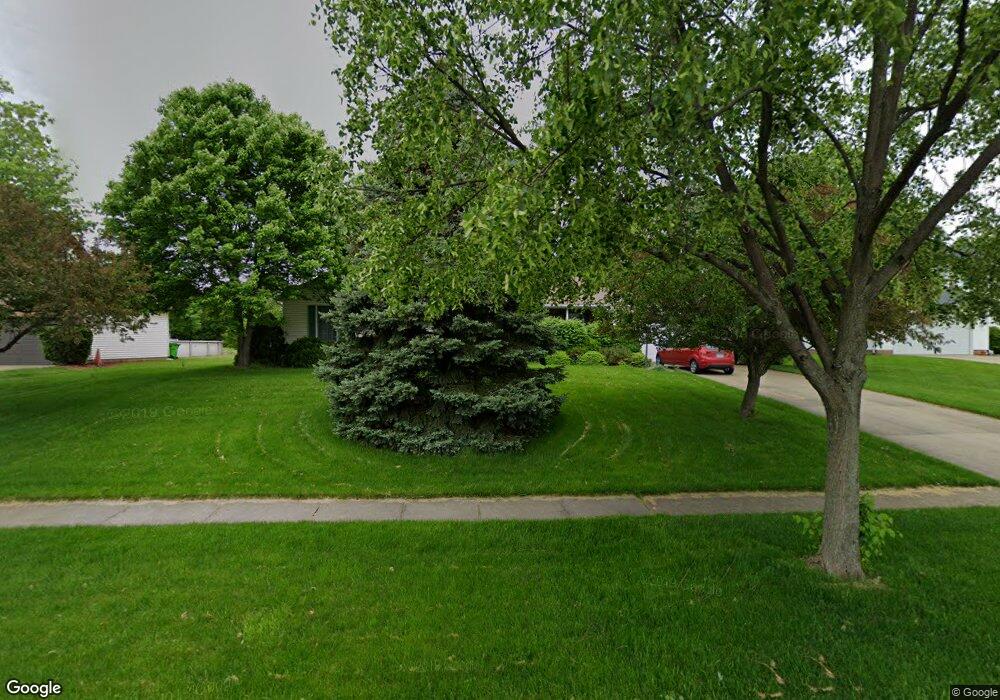
This home is located at 4382 Bunker Ln, Stow, OH 44224 and is currently estimated at $368,741, approximately $211 per square foot. 4382 Bunker Ln is a home located in Summit County with nearby schools including Stow-Munroe Falls High School and St Patrick Elementary School.
Ownership History
Date
Name
Owned For
Owner Type
Purchase Details
Closed on
Oct 21, 2010
Sold by
Myler Janice E
Bought by
Myler Jeffrey A
Current Estimated Value
Home Financials for this Owner
Home Financials are based on the most recent Mortgage that was taken out on this home.
Original Mortgage
$130,000
Outstanding Balance
$84,214
Interest Rate
4.3%
Mortgage Type
New Conventional
Estimated Equity
$284,527
Purchase Details
Closed on
Jul 7, 1997
Sold by
Meeker Thomas R
Bought by
Myler Jeffery R and Myler Janice E
Home Financials for this Owner
Home Financials are based on the most recent Mortgage that was taken out on this home.
Original Mortgage
$129,600
Interest Rate
8.01%
Mortgage Type
New Conventional
Create a Home Valuation Report for This Property
The Home Valuation Report is an in-depth analysis detailing your home's value as well as a comparison with similar homes in the area
Home Values in the Area
Average Home Value in this Area
Purchase History
We collect this data history from publicly available records. To have your information removed, we recommend requesting removal directly through your county’s website.
| Date | Buyer | Sale Price | Title Company |
|---|---|---|---|
| Myler Jeffrey A | -- | Landamerica | |
| Myler Jeffery R | $162,000 | -- |
Source: Public Records
Mortgage History
We collect this data history from publicly available records. To have your information removed, we recommend requesting removal directly through your county’s website.
| Date | Status | Borrower | Loan Amount |
|---|---|---|---|
| Open | Myler Jeffrey A | $130,000 | |
| Closed | Myler Jeffery R | $129,600 |
Source: Public Records
Tax History
| Year | Tax Paid | Tax Assessment Tax Assessment Total Assessment is a certain percentage of the fair market value that is determined by local assessors to be the total taxable value of land and additions on the property. | Land | Improvement |
|---|---|---|---|---|
| 2025 | $5,512 | $97,888 | $21,014 | $76,874 |
| 2024 | $5,512 | $97,888 | $21,014 | $76,874 |
| 2023 | $5,512 | $97,888 | $21,014 | $76,874 |
| 2022 | $5,121 | $80,305 | $17,224 | $63,081 |
| 2021 | $4,584 | $80,305 | $17,224 | $63,081 |
| 2020 | $4,505 | $80,300 | $17,220 | $63,080 |
| 2019 | $4,487 | $74,780 | $17,050 | $57,730 |
| 2018 | $4,414 | $74,780 | $17,050 | $57,730 |
| 2017 | $4,077 | $74,780 | $17,050 | $57,730 |
| 2016 | $4,197 | $67,080 | $17,050 | $50,030 |
| 2015 | $4,077 | $67,080 | $17,050 | $50,030 |
| 2014 | $4,081 | $67,080 | $17,050 | $50,030 |
| 2013 | $4,064 | $67,230 | $17,050 | $50,180 |
Source: Public Records
Map
Nearby Homes
- 4215 Quail Hollow Cir
- 4227 Bunker Ln
- 4544 Fishcreek Rd
- 4556 Fishcreek Rd
- 1162 Windward Ln
- 4501 Chatwood Dr
- 3931 Lake Run Blvd
- 3958 Lake Run Blvd
- 1312 Sunset Way Cir
- 2917 Windsor Ct Unit 106
- 1295 Shady Lakes Dr
- 2591 Jefferson Place Unit B
- 4534 Foresthill Rd
- 2760 Stockman Ct Unit 10
- 0 Pardee Rd
- 4715 Hilary Cir
- 4155 Burton Dr
- 4795 Fishcreek Rd
- 4709 Nottingham Ln
- 1311 Carol Dr
- 2910 Woodbridge Ln
- 2920 Woodbridge Ln
- 2900 Woodbridge Ln
- 2930 Woodbridge Ln
- 4392 Bunker Ln
- 2890 Woodbridge Ln
- 4402 Bunker Ln
- 4370 Hammontree Cir
- 2905 Woodbridge Ln
- 4412 Bunker Ln
- 4372 Bunker Ln
- 2940 Woodbridge Ln
- 2893 Woodbridge Ln
- 2880 Woodbridge Ln
- 4367 Hammontree Cir
- 4422 Bunker Ln
- 2885 Woodbridge Ln
- 4362 Bunker Ln
- 4386 Hammontree Cir
- 2950 Woodbridge Ln
Your Personal Tour Guide
Ask me questions while you tour the home.