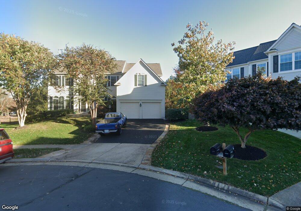
43849 Robindale Ct Ashburn, VA 20147
Estimated Value: $1,017,000 - $1,080,000
About This Home
This home is located at 43849 Robindale Ct, Ashburn, VA 20147 and is currently estimated at $1,041,056, approximately $342 per square foot. 43849 Robindale Ct is a home located in Loudoun County with nearby schools including Cedar Lane Elementary School, Trailside Middle School, and Stone Bridge High.
Ownership History
We collect this data history from publicly available records. To have your information removed, we recommend requesting removal directly through your county’s website.
Purchase Details
Home Financials for this Owner
Home Financials are based on the most recent Mortgage that was taken out on this home.Home Values in the Area
Average Home Value in this Area
Purchase History
We collect this data history from publicly available records. To have your information removed, we recommend requesting removal directly through your county’s website.
| Date | Buyer | Sale Price | Title Company |
|---|---|---|---|
| $288,410 | -- |
Mortgage History
We collect this data history from publicly available records. To have your information removed, we recommend requesting removal directly through your county’s website.
| Date | Status | Borrower | Loan Amount |
|---|---|---|---|
| Open | $227,150 |
Tax History
We collect this data history from publicly available records. To have your information removed, we recommend requesting removal directly through your county’s website.
| Year | Tax Paid | Tax Assessment Tax Assessment Total Assessment is a certain percentage of the fair market value that is determined by local assessors to be the total taxable value of land and additions on the property. | Land | Improvement |
|---|---|---|---|---|
| 2025 | $7,781 | $966,590 | $299,900 | $666,690 |
| 2024 | $7,809 | $902,770 | $294,900 | $607,870 |
| 2023 | $7,510 | $858,290 | $294,900 | $563,390 |
| 2022 | $7,275 | $817,430 | $269,900 | $547,530 |
| 2021 | $6,933 | $707,490 | $219,900 | $487,590 |
| 2020 | $6,902 | $666,860 | $199,700 | $467,160 |
| 2019 | $6,838 | $654,340 | $199,700 | $454,640 |
| 2018 | $6,475 | $596,770 | $179,700 | $417,070 |
| 2017 | $6,550 | $582,220 | $179,700 | $402,520 |
| 2016 | $6,722 | $587,070 | $0 | $0 |
| 2015 | $6,329 | $377,940 | $0 | $377,940 |
| 2014 | $6,272 | $363,370 | $0 | $363,370 |
Map
- 20278 Glenrobin Terrace
- 20275 Glenrobin Terrace
- 20576 Ashburn Rd
- 44052 Aberdeen Terrace
- 20547 Ringold Dr
- 20211 Birdsnest Place
- 43760 Cog Hill Terrace
- 44021 Ferncliff Terrace
- 20338 Fishers Island Ct
- 44086 Natalie Terrace Unit 201
- 44168 Paget Terrace
- 44096 Natalie Terrace Unit 301
- 43589 Edison Club Ct
- 20127 Valhalla Square
- 44104 Natalie Terrace Unit 101
- 44106 Natalie Terrace Unit 301
- 20600 Cornstalk Terrace Unit 202
- 20602 Cornstalk Terrace Unit 101
- 20106 Muirfield Village Ct
- 44114 Natalie Terrace Unit 302
- 43845 Robindale Ct
- 43844 Robindale Ct
- 43841 Robindale Ct
- 2460 Mystic Maroon Terrace
- 43871 Merryoak Way
- 43840 Robindale Ct
- 43867 Merryoak Way
- 43837 Robindale Ct
- 0 Ghazwa Square Unit 1008121666
- 0 Ghazwa Square Unit 1008118428
- 0 Ghazwa Square Unit LO10207954
- 0 Ghazwa Square Unit LO10207932
- 0 Ghazwa Unit LO9907683
- 0 Ghazwa Unit LO9907670
- 0 Ghazwa Square Unit LO9907647
- 1 Ghazwa Square
- 0 Whitehead Unit 1004426195
- 43863 Merryoak Way
- 20378 Snowpoint Place
- 43836 Robindale Ct
Ask me questions while you tour the home.