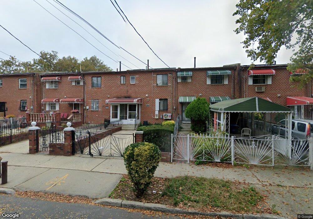
439 Christopher Ave Brooklyn, NY 11212
Brownsville NeighborhoodEstimated Value: $542,000 - $618,000
Studio
--
Bath
1,116
Sq Ft
$521/Sq Ft
Est. Value
About This Home
This home is located at 439 Christopher Ave, Brooklyn, NY 11212 and is currently estimated at $580,895, approximately $520 per square foot. 439 Christopher Ave is a home located in Kings County with nearby schools including P.S. 165 Ida Posner, P.S. 150 - Christopher, and P.S. 156 Waverly.
Ownership History
Date
Name
Owned For
Owner Type
Purchase Details
Closed on
Nov 1, 2021
Sold by
Hampton Betty Moore and Hampton Paul Sharron
Bought by
Antonette Brown Doreen and Brown Sr. Carue
Current Estimated Value
Home Financials for this Owner
Home Financials are based on the most recent Mortgage that was taken out on this home.
Original Mortgage
$414,000
Outstanding Balance
$379,465
Interest Rate
3.01%
Mortgage Type
Purchase Money Mortgage
Estimated Equity
$201,430
Create a Home Valuation Report for This Property
The Home Valuation Report is an in-depth analysis detailing your home's value as well as a comparison with similar homes in the area
Home Values in the Area
Average Home Value in this Area
Purchase History
| Date | Buyer | Sale Price | Title Company |
|---|---|---|---|
| Antonette Brown Doreen | $460,000 | -- |
Source: Public Records
Mortgage History
| Date | Status | Borrower | Loan Amount |
|---|---|---|---|
| Open | Antonette Brown Doreen | $414,000 |
Source: Public Records
Tax History
| Year | Tax Paid | Tax Assessment Tax Assessment Total Assessment is a certain percentage of the fair market value that is determined by local assessors to be the total taxable value of land and additions on the property. | Land | Improvement |
|---|---|---|---|---|
| 2025 | $4,373 | $33,480 | $13,200 | $20,280 |
| 2024 | $4,373 | $38,820 | $13,200 | $25,620 |
| 2023 | $4,413 | $38,340 | $13,200 | $25,140 |
| 2022 | $4,093 | $36,060 | $13,200 | $22,860 |
| 2021 | $3,944 | $30,120 | $13,200 | $16,920 |
| 2019 | $2,172 | $27,300 | $13,200 | $14,100 |
| 2018 | $3,394 | $18,109 | $11,160 | $6,949 |
| 2017 | $3,183 | $17,085 | $11,425 | $5,660 |
| 2016 | $3,047 | $16,790 | $12,272 | $4,518 |
| 2015 | $1,724 | $15,840 | $10,980 | $4,860 |
| 2014 | $1,724 | $15,120 | $10,980 | $4,140 |
Source: Public Records
Map
Nearby Homes
- 625 Sackman St
- 546 Powell St
- 699 Sackman St
- 592 Powell St
- 797 Mother Gaston Blvd
- 555 Christopher Ave
- 533 Snediker Ave
- 578 Christopher Ave
- 460 Hinsdale St
- 584 Hinsdale St
- 578 Williams Ave
- 582 Williams Ave
- 589 Hinsdale St
- 892 Mother Gaston Blvd
- 440 Blake Ave
- 923 Rockaway Ave
- 524 Chester St
- 650 Williams Ave
- 660 Williams Ave
- 606 Alabama Ave
- 441 Christopher Ave
- 443 Christopher Ave
- 445 Christopher Ave
- 437 Christopher Ave
- 447 Christopher Ave
- 435 Christopher Ave
- 449 Christopher Ave
- 433 Christopher Ave
- 433 Christopher Ave
- 433 Christopher Ave
- 451 Christopher Ave
- 431 Christopher Ave
- 648 Sackman St
- 654 Sackman St
- 646 Sackman St
- 656 Sackman St
- 658 Sackman St
- 644 Sackman St
- 642 Sackman St
- 660 Sackman St
Your Personal Tour Guide
Ask me questions while you tour the home.