439 Preston Rd Roaring Branch, PA 17765
Estimated Value: $89,857 - $287,000
2
Beds
1
Bath
1,316
Sq Ft
$127/Sq Ft
Est. Value
About This Home
This home is located at 439 Preston Rd, Roaring Branch, PA 17765 and is currently estimated at $166,952, approximately $126 per square foot. 439 Preston Rd is a home located in Tioga County with nearby schools including Canton Area Elementary School and Canton Junior/Senior High School.
Ownership History
Date
Name
Owned For
Owner Type
Purchase Details
Closed on
Apr 15, 2021
Sold by
Badorf Richard H
Bought by
Yanchuk Michael A and Yanchuk Barbara J
Current Estimated Value
Home Financials for this Owner
Home Financials are based on the most recent Mortgage that was taken out on this home.
Original Mortgage
$150,000
Outstanding Balance
$107,394
Interest Rate
3.05%
Mortgage Type
New Conventional
Estimated Equity
$59,558
Create a Home Valuation Report for This Property
The Home Valuation Report is an in-depth analysis detailing your home's value as well as a comparison with similar homes in the area
Purchase History
| Date | Buyer | Sale Price | Title Company |
|---|---|---|---|
| Yanchuk Michael A | $250,000 | Premier Abstract & Setmnt Sv |
Source: Public Records
Mortgage History
| Date | Status | Borrower | Loan Amount |
|---|---|---|---|
| Open | Yanchuk Michael A | $150,000 |
Source: Public Records
Tax History
| Year | Tax Paid | Tax Assessment Tax Assessment Total Assessment is a certain percentage of the fair market value that is determined by local assessors to be the total taxable value of land and additions on the property. | Land | Improvement |
|---|---|---|---|---|
| 2026 | $669 | $48,470 | $38,700 | $9,770 |
| 2025 | $665 | $48,470 | $38,700 | $9,770 |
| 2024 | $1,088 | $48,470 | $38,700 | $9,770 |
| 2023 | $603 | $22,310 | $18,230 | $4,080 |
| 2022 | $441 | $16,230 | $16,230 | $0 |
| 2021 | $441 | $16,230 | $16,230 | $0 |
| 2020 | $458 | $16,230 | $16,230 | $0 |
| 2019 | $444 | $16,230 | $16,230 | $0 |
| 2018 | $444 | $16,230 | $16,230 | $0 |
| 2017 | -- | $16,230 | $16,230 | $0 |
| 2016 | $443 | $16,230 | $16,230 | $0 |
| 2015 | -- | $16,230 | $16,230 | $0 |
| 2014 | -- | $16,230 | $16,230 | $0 |
Source: Public Records
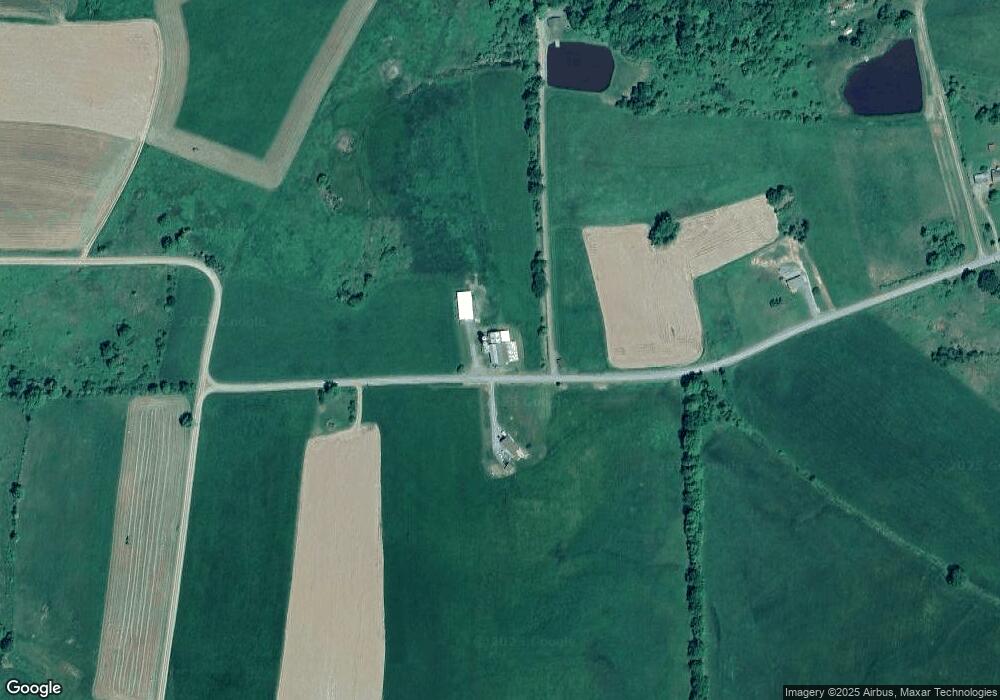
Map
Nearby Homes
- 7129 Route 14
- 20 E South Ave
- 374 S Minnequa Ave
- 49-51 T-329
- 94 N Center St
- 13632 Route 414
- 160 N Center St
- 85 N Minnequa Ave
- 151 Montague St
- 386 Troy St
- 490 N Center St
- 2537 Ogdensburg Rd
- 12240 Route 154
- 487 Wild Berry Ln
- 487 Wildberry Ln
- 203 De-Morgan Acres Ln
- 14751 Route 14
- 0 Route 1010 Roaring Branch Rd
- PARCEL 030 Glory Ridge Rd
- Parc 030 Glory Ridge Rd
- 563 Preston Rd
- 567 Preston Rd
- 420 Preston Rd
- 39 Wooster Rd
- 0 Preston Rd
- 217 Preston Rd
- 1261 Spencer Rd
- 1348 Spencer Rd
- 763 Preston Rd
- 202 Wooster Rd
- 203 Wooster Rd
- 1443 Spencer Rd
- 1514 Spencer Rd
- 1487 Spencer Rd
- 1404 Randall Rd
- 64 Preston Rd
- 1413 Randall Rd
- 58 Anderson Ln
- 694 Bennett Hill Rd
- 1429 Shanty Hollow Rd
Your Personal Tour Guide
Ask me questions while you tour the home.