439 Vining Branch Rd Georgetown, GA 39854
Estimated Value: $146,000 - $293,008
Studio
--
Bath
936
Sq Ft
$241/Sq Ft
Est. Value
About This Home
This home is located at 439 Vining Branch Rd, Georgetown, GA 39854 and is currently estimated at $225,502, approximately $240 per square foot. 439 Vining Branch Rd is a home with nearby schools including Quitman County Elementary School and Quitman County High School.
Ownership History
Date
Name
Owned For
Owner Type
Purchase Details
Closed on
May 27, 2014
Sold by
Miller Walter
Bought by
Craft Dennis F and Craft Deniss S
Current Estimated Value
Purchase Details
Closed on
Oct 29, 2004
Sold by
Slay Kenneth E and Slay Jeanne C
Bought by
Miller Walter
Purchase Details
Closed on
Jul 22, 2004
Sold by
Chapman Mark and Chapman Gail
Bought by
Slay Kenneth and Slay Jeann C
Purchase Details
Closed on
Dec 19, 2001
Sold by
Slay Kenneth E and Slay Jea
Bought by
Chapman Mark and Chapman Gail
Purchase Details
Closed on
Dec 11, 2001
Sold by
Bass William Dewitt
Bought by
Slay Kenneth E and Slay Jea
Purchase Details
Closed on
Dec 5, 1983
Sold by
Atwater Lula H
Bought by
Bass William Dewitt
Purchase Details
Closed on
Apr 29, 1983
Sold by
Peddie Malone and Peddie Clar
Bought by
Atwater Lula H
Purchase Details
Closed on
Jan 4, 1983
Sold by
Ford
Bought by
Peddie Malone and Peddie Clar
Create a Home Valuation Report for This Property
The Home Valuation Report is an in-depth analysis detailing your home's value as well as a comparison with similar homes in the area
Purchase History
| Date | Buyer | Sale Price | Title Company |
|---|---|---|---|
| Craft Dennis F | $81,000 | -- | |
| Miller Walter | $120,000 | -- | |
| Slay Kenneth | $45,000 | -- | |
| Chapman Mark | $25,000 | -- | |
| Slay Kenneth E | $25,000 | -- | |
| Bass William Dewitt | -- | -- | |
| Atwater Lula H | -- | -- | |
| Peddie Malone | -- | -- |
Source: Public Records
Tax History
| Year | Tax Paid | Tax Assessment Tax Assessment Total Assessment is a certain percentage of the fair market value that is determined by local assessors to be the total taxable value of land and additions on the property. | Land | Improvement |
|---|---|---|---|---|
| 2025 | $3,255 | $92,299 | $52,000 | $40,299 |
| 2024 | $3,010 | $92,299 | $52,000 | $40,299 |
| 2023 | $3,045 | $92,299 | $52,000 | $40,299 |
| 2022 | $3,045 | $92,299 | $52,000 | $40,299 |
| 2021 | $2,216 | $67,307 | $40,000 | $27,307 |
| 2020 | $1,396 | $41,585 | $40,000 | $1,585 |
| 2019 | $1,397 | $41,585 | $40,000 | $1,585 |
| 2018 | $1,331 | $41,585 | $40,000 | $1,585 |
| 2017 | $1,330 | $41,585 | $40,000 | $1,585 |
| 2016 | $1,757 | $40,000 | $40,000 | $0 |
| 2015 | -- | $60,000 | $60,000 | $0 |
| 2014 | -- | $40,000 | $40,000 | $0 |
| 2013 | -- | $40,000 | $40,000 | $0 |
Source: Public Records
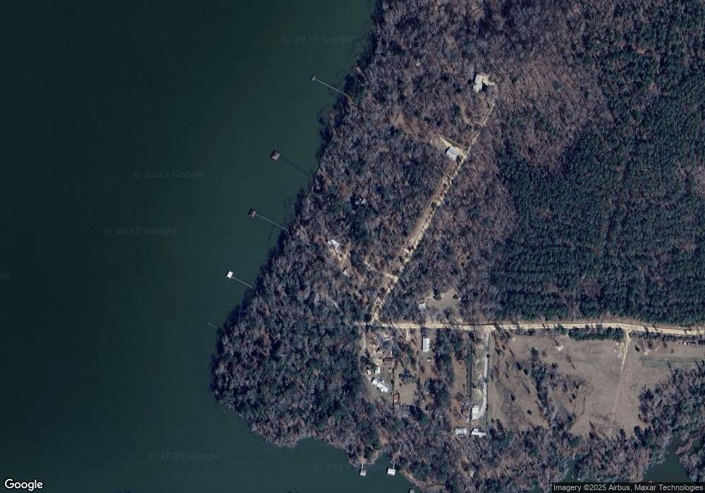
Map
Nearby Homes
- 0 Watson Spur Rd Unit 24072
- 0 Watson Spur Rd Unit 189883
- 0 Watson Spur Rd Unit 20115025
- 288 Watson Rd
- 0 U S 431 N
- 255 Ga Highway 27
- 330 Georgia 27
- 273 Kaigler Rd
- 253 Kaigler Rd
- 9 Shirley Dr
- 128 Jacqueline Dr
- 7 Point Way
- 0 Point Dr Unit 22643
- 0 Point Dr Unit LOT 2, 3, 4
- 0 Sandra Dr Unit 10544581
- 94 Clark Hill Dr
- 98 Sunrise Dr
- 124 Collinswood Dr
- 96 Clark Hill Dr
- 000 Joy St
- 430 Vining Branch Rd
- 443 Vining Branch Rd Unit 5-8
- 443 Vining Branch Rd
- 427 Vining Branch Rd
- 418 Vining Branch Rd
- 429 Vining Branch Rd
- 471 Vining Branch Rd
- 471 Vining Branch Rd
- 475 Vining Branch Rd
- 280 Watson Rd
- 216 Ga Highway 39 N
- 284 Watson Rd Unit 7
- 284 Watson Rd
- 25 Watson Rd
- 231 Watson Rd
- 208 Watson Rd
- 192 Watson Rd
- 288 Watson Rd
- 0 Lot 3 Watson S D Vining Branch Rd
- 0 Vining Branch Rd Unit 14592
Your Personal Tour Guide
Ask me questions while you tour the home.