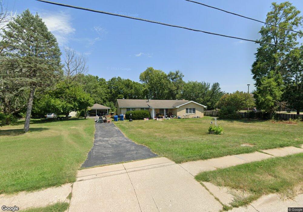
4390 S Cox Rd Springfield, MO 65810
Southwest Springfield NeighborhoodEstimated Value: $242,762 - $314,000
3
Beds
2
Baths
1,929
Sq Ft
$148/Sq Ft
Est. Value
About This Home
This home is located at 4390 S Cox Rd, Springfield, MO 65810 and is currently estimated at $284,691, approximately $147 per square foot. 4390 S Cox Rd is a home located in Greene County with nearby schools including Gray Elementary School, Wilson's Creek Intermediate School, and Cherokee Middle School.
Ownership History
Date
Name
Owned For
Owner Type
Purchase Details
Closed on
Feb 17, 2016
Sold by
Hunt Patricia A and Hunt Lee R
Bought by
Hunt Lee R
Current Estimated Value
Home Financials for this Owner
Home Financials are based on the most recent Mortgage that was taken out on this home.
Original Mortgage
$66,500
Interest Rate
3.97%
Mortgage Type
New Conventional
Purchase Details
Closed on
Dec 21, 2009
Sold by
Hunt Patricia A
Bought by
Hunt Patricia A and Hunt Lee R
Create a Home Valuation Report for This Property
The Home Valuation Report is an in-depth analysis detailing your home's value as well as a comparison with similar homes in the area
Home Values in the Area
Average Home Value in this Area
Purchase History
| Date | Buyer | Sale Price | Title Company |
|---|---|---|---|
| Hunt Lee R | -- | None Available | |
| Hunt Patricia A | -- | None Available |
Source: Public Records
Mortgage History
| Date | Status | Borrower | Loan Amount |
|---|---|---|---|
| Closed | Hunt Lee R | $66,500 |
Source: Public Records
Tax History
| Year | Tax Paid | Tax Assessment Tax Assessment Total Assessment is a certain percentage of the fair market value that is determined by local assessors to be the total taxable value of land and additions on the property. | Land | Improvement |
|---|---|---|---|---|
| 2025 | $1,094 | $21,960 | $7,600 | $14,360 |
| 2024 | $1,076 | $20,050 | $6,650 | $13,400 |
| 2023 | $1,070 | $20,050 | $6,650 | $13,400 |
| 2022 | $1,081 | $19,800 | $6,650 | $13,150 |
| 2021 | $1,081 | $19,800 | $6,650 | $13,150 |
| 2020 | $1,116 | $19,550 | $6,650 | $12,900 |
| 2019 | $1,085 | $19,550 | $6,650 | $12,900 |
| 2018 | $1,115 | $20,100 | $6,650 | $13,450 |
| 2017 | $1,104 | $20,100 | $6,650 | $13,450 |
| 2016 | $1,102 | $20,100 | $6,650 | $13,450 |
| 2015 | $1,092 | $20,100 | $6,650 | $13,450 |
| 2014 | $1,055 | $19,290 | $6,650 | $12,640 |
Source: Public Records
Map
Nearby Homes
- 2175 W Glen Gary Ct
- 2177 W Glen Gary Ct
- 4441 S Lafontaine Ave
- 4530 S Shady Lane Ct
- 2325 W Camino Alto St
- 2065 W Buena Vista St
- 2041 W Buena Vista St
- 2021 W Kingsley St
- 2672 W Village Terrace
- 4445 S Farm Road 137
- 4825 S Sydney Ave
- 2725 W Camino Alto St
- 2325 W Alta St
- 2240 W Alta St
- 2759 W Buena Vista St
- 2327 W Butterfield Rd
- 3860 S Parklane Ave
- 1658 W Caleb Ct
- 1924 W Woodhaven St Unit Lot 43
- 1910 W Woodhaven St Unit Lot 36
- 4376 S Cox Rd
- 2175 W Glen Gary Ct
- 4351 S Lafontaine Ave
- 4359 S Lafontaine Ave
- 4343 S Lafontaine Ave
- 2201 W Glen Gary Ct
- 2201 W Glen Gary Ct Unit 14
- 4429 S Lafontaine Ave
- 4335 S Lafontaine Ave
- 2130 W Swallow St
- 2126 W Swallow St
- 4429 S La Fontaine Ave
- 2134 W Swallow St
- 2122 W Swallow St
- 2203 W Glen Gary Ct Unit Lot 12
- 2203 W Glen Gary Ct
- 2203 W Glen Gary Ct Unit 13
- 2118 W Swallow St
- 2176 W Glen Gary Ct
- 2178 W Glen Gary Ct
Your Personal Tour Guide
Ask me questions while you tour the home.