43A Anchor Dr Unit 43A Key Largo, FL 33037
North Key Largo NeighborhoodEstimated Value: $4,971,000 - $5,552,000
2
Beds
2
Baths
2,341
Sq Ft
$2,225/Sq Ft
Est. Value
About This Home
This home is located at 43A Anchor Dr Unit 43A, Key Largo, FL 33037 and is currently estimated at $5,209,039, approximately $2,225 per square foot. 43A Anchor Dr Unit 43A is a home located in Monroe County with nearby schools including Key Largo School, Coral Shores High School, and The Academy At Ocean Reef.
Ownership History
Date
Name
Owned For
Owner Type
Purchase Details
Closed on
Jan 28, 2020
Sold by
High Tide Re 1 Llc
Bought by
High Tide Re I Llc
Current Estimated Value
Purchase Details
Closed on
Apr 25, 2014
Sold by
M T Materna Llc
Bought by
Irie Gator Llc
Purchase Details
Closed on
Feb 4, 2007
Sold by
Curran Jacquelyn and Curran Lawrence
Bought by
Mt Materna Llc
Purchase Details
Closed on
Jan 25, 2006
Sold by
Howey Gail Bragg and Howey William D
Bought by
Curran Jacquelyn and Curran Lawrence
Purchase Details
Closed on
Aug 30, 2004
Sold by
Bragg Douglas G
Bought by
Bragg Douglass G and Douglas G Bragg Self Declaration Of Trus
Purchase Details
Closed on
Oct 8, 2002
Sold by
Atwater Katherine D Trust
Bought by
Bragg Douglas G and Howey Gail B
Purchase Details
Closed on
May 7, 2001
Sold by
Nancy C Williams I
Bought by
Atwater Katherine D Trust
Purchase Details
Closed on
Nov 2, 1998
Sold by
Estevez Jose L and Estevez Berta
Bought by
Williams Robert J and Williams Nancy C
Purchase Details
Closed on
May 20, 1994
Sold by
Mccann Laurence D and Mccann Claire A
Bought by
Estevez Jose L and Estevez Berta B
Home Financials for this Owner
Home Financials are based on the most recent Mortgage that was taken out on this home.
Original Mortgage
$132,000
Interest Rate
8.46%
Purchase Details
Closed on
Feb 1, 1975
Bought by
Irie Gator Llc
Create a Home Valuation Report for This Property
The Home Valuation Report is an in-depth analysis detailing your home's value as well as a comparison with similar homes in the area
Home Values in the Area
Average Home Value in this Area
Purchase History
We collect this data history from publicly available records. To have your information removed, we recommend requesting removal directly through your county’s website.
| Date | Buyer | Sale Price | Title Company |
|---|---|---|---|
| High Tide Re I Llc | $100 | None Listed On Document | |
| Irie Gator Llc | $1,375,000 | Reef Title Company Llc | |
| Mt Materna Llc | $975,000 | Attorney | |
| Curran Jacquelyn | $885,000 | None Available | |
| Bragg Douglass G | -- | -- | |
| Howey Gail Bragg | -- | -- | |
| Bragg Douglas G | -- | -- | |
| Atwater Katherine D Trust | $600,000 | -- | |
| Williams Robert J | $265,000 | -- | |
| Estevez Jose L | $165,000 | -- | |
| Irie Gator Llc | $38,500 | -- |
Source: Public Records
Mortgage History
We collect this data history from publicly available records. To have your information removed, we recommend requesting removal directly through your county’s website.
| Date | Status | Borrower | Loan Amount |
|---|---|---|---|
| Previous Owner | Estevez Jose L | $132,000 |
Source: Public Records
Tax History
| Year | Tax Paid | Tax Assessment Tax Assessment Total Assessment is a certain percentage of the fair market value that is determined by local assessors to be the total taxable value of land and additions on the property. | Land | Improvement |
|---|---|---|---|---|
| 2025 | $26,984 | $5,142,780 | -- | $5,142,780 |
| 2024 | $24,482 | $5,470,382 | -- | $5,470,382 |
| 2023 | $24,482 | $4,871,142 | $0 | $4,871,142 |
| 2022 | $18,236 | $3,104,205 | $0 | $3,104,205 |
| 2021 | $15,472 | $2,116,922 | $0 | $2,116,922 |
| 2020 | $13,908 | $1,964,489 | $0 | $1,964,489 |
| 2019 | $12,281 | $1,661,933 | $0 | $1,661,933 |
| 2018 | $11,957 | $1,661,933 | $0 | $0 |
| 2017 | $10,635 | $1,437,149 | $0 | $0 |
| 2016 | $10,175 | $1,293,300 | $0 | $0 |
| 2015 | $9,365 | $1,124,962 | $0 | $0 |
| 2014 | $9,174 | $1,124,962 | $0 | $0 |
Source: Public Records
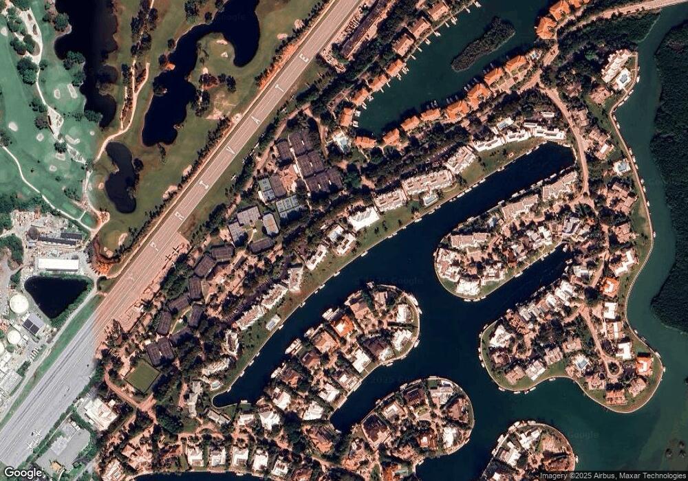
Map
Nearby Homes
- 64 Tarpon Ln
- 41 Pumpkin Cay Rd Unit A
- 0 167th & Card Sound Rd Unit F10511744
- 104.5 Mm 104 5 Overseas Hwy
- 500 Burton Dr Unit 1314
- 10987 County Road 905
- 0 NW 0 Unit A11935439
- 0 NW 0 Unit A11956672
- 0 NW 0 Unit A11935466
- 410xx SW 122 Ave
- 400xx SW 122 Ave
- 0 Unit 616391
- 167 Valois Blvd
- 133 Valois Blvd
- 35 Atlantic Dr
- 34 Atlantic Dr
- UNINCORPORATED, Unincorporated
- 0016 Acerage
- 0 Unincorporated Unit A11257698
- 36050 SW 127 Ave
- 46 Anchor Dr Unit 46B
- 35B Anchor Dr Unit 35B
- 46 Anchor Dr Unit 46A
- 40 Anchor Dr Unit 40A
- 36A Anchor Dr Unit 36A
- 35 Anchor Dr Unit 35A
- 35 Anchor Dr Unit A
- 41 Anchor Dr Unit B
- 42 Anchor Dr Unit 42B
- 42 Anchor Dr Unit 42A
- 39 Anchor Dr Unit 39B
- 39 Anchor Dr Unit 39A
- 40 Anchor Dr Unit 40B
- 43B Anchor Dr Unit 43B
- 44 Anchor Dr Unit B
- 38 Anchor Dr Unit 38B
- 38 Anchor Dr Unit 38A
- 45 Anchor Dr Unit 45B
- 45 Anchor Dr Unit 45A
- 37 Anchor Dr Unit 37B
Your Personal Tour Guide
Ask me questions while you tour the home.