44 Ashburnham State Rd Westminster, MA 01473
Estimated Value: $366,000 - $486,597
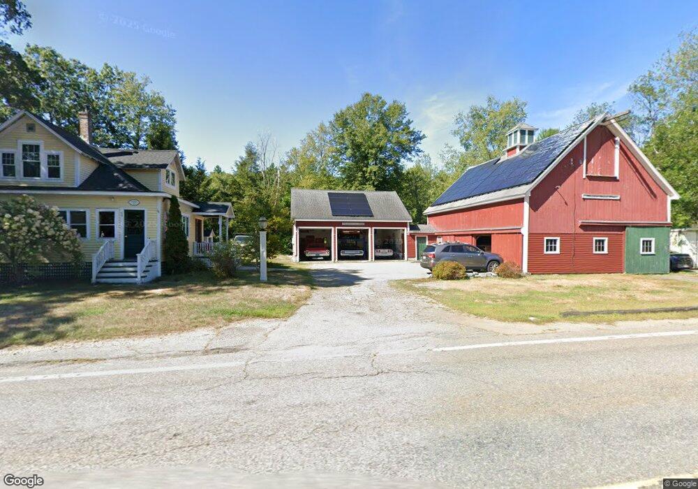
About This Home
This home is located at 44 Ashburnham State Rd, Westminster, MA 01473 and is currently estimated at $432,399, approximately $301 per square foot. 44 Ashburnham State Rd is a home located in Worcester County with nearby schools including Oakmont Regional High School and Cushing Academy.
Ownership History
We collect this data history from publicly available records. To have your information removed, we recommend requesting removal directly through your county’s website.
Purchase Details
Home Financials for this Owner
Home Financials are based on the most recent Mortgage that was taken out on this home.Purchase Details
Home Financials for this Owner
Home Financials are based on the most recent Mortgage that was taken out on this home.Home Values in the Area
Average Home Value in this Area
Purchase History
We collect this data history from publicly available records. To have your information removed, we recommend requesting removal directly through your county’s website.
| Date | Buyer | Sale Price | Title Company |
|---|---|---|---|
| -- | -- | ||
| $132,500 | -- |
Mortgage History
We collect this data history from publicly available records. To have your information removed, we recommend requesting removal directly through your county’s website.
| Date | Status | Borrower | Loan Amount |
|---|---|---|---|
| Open | $95,000 | ||
| Previous Owner | $110,500 | ||
| Previous Owner | $119,250 |
Tax History
We collect this data history from publicly available records. To have your information removed, we recommend requesting removal directly through your county’s website.
| Year | Tax Paid | Tax Assessment Tax Assessment Total Assessment is a certain percentage of the fair market value that is determined by local assessors to be the total taxable value of land and additions on the property. | Land | Improvement |
|---|---|---|---|---|
| 2025 | $47 | $378,800 | $121,100 | $257,700 |
| 2024 | $4,501 | $367,100 | $121,100 | $246,000 |
| 2023 | $3,930 | $300,900 | $110,600 | $190,300 |
| 2022 | $3,920 | $248,100 | $96,700 | $151,400 |
| 2021 | $3,816 | $227,700 | $80,300 | $147,400 |
| 2020 | $3,757 | $214,100 | $73,400 | $140,700 |
| 2019 | $3,694 | $202,400 | $61,700 | $140,700 |
| 2018 | $3,610 | $194,600 | $61,700 | $132,900 |
| 2017 | $3,371 | $185,300 | $54,600 | $130,700 |
| 2016 | $3,298 | $175,600 | $46,100 | $129,500 |
| 2015 | $2,899 | $153,000 | $46,100 | $106,900 |
| 2014 | $2,891 | $152,300 | $46,100 | $106,200 |
Map
- 261 Bean Porridge Hill Rd
- 0-1 Bean Porridge Hill Rd
- 119 Bean Porridge Hill Rd
- Lot 25 Ashburnham St
- 84 Hemlock Dr
- 250 Ashburnham St
- 76 Brierwood Dr
- 149 Bragg Hill Rd
- 0 Highview St
- 682 Ashburnham Hill Rd
- 20 Highview St
- 697 Westminster Hill Rd
- 602 Westminster Hill Rd
- 0 Grand St
- 47 Mayland St
- 17 Fairview St
- 0 Bean Porridge Hill Rd
- 815-819 River St
- 55 Cottage St
- 189 Fitchburg Rd
- 49 Ashburnham State Rd
- Lot 4 Ashburnham State Rd
- 55 Ashburnham State Rd
- 29 Ashburnham State Rd
- 58 Ashburnham State Rd
- 29A Ashburnham State Rd
- 60 Ashburnham State Rd
- 62 Ashburnham State Rd
- 64 Ashburnham State Rd
- 25 Ashburnham State Rd
- 66 Ashburnham State Rd
- 65 Ashburnham State Rd
- 19 Ashburnham State Rd
- 74 Ashburnham State Rd
- 67 Ashburnham State Rd
- 72 Ashburnham State Rd
- 15 Ashburnham State Rd
- 76 Ashburnham State Rd
- 203 Bean Porridge Hill Rd
- 207 Bean Porridge Hill Rd
Ask me questions while you tour the home.