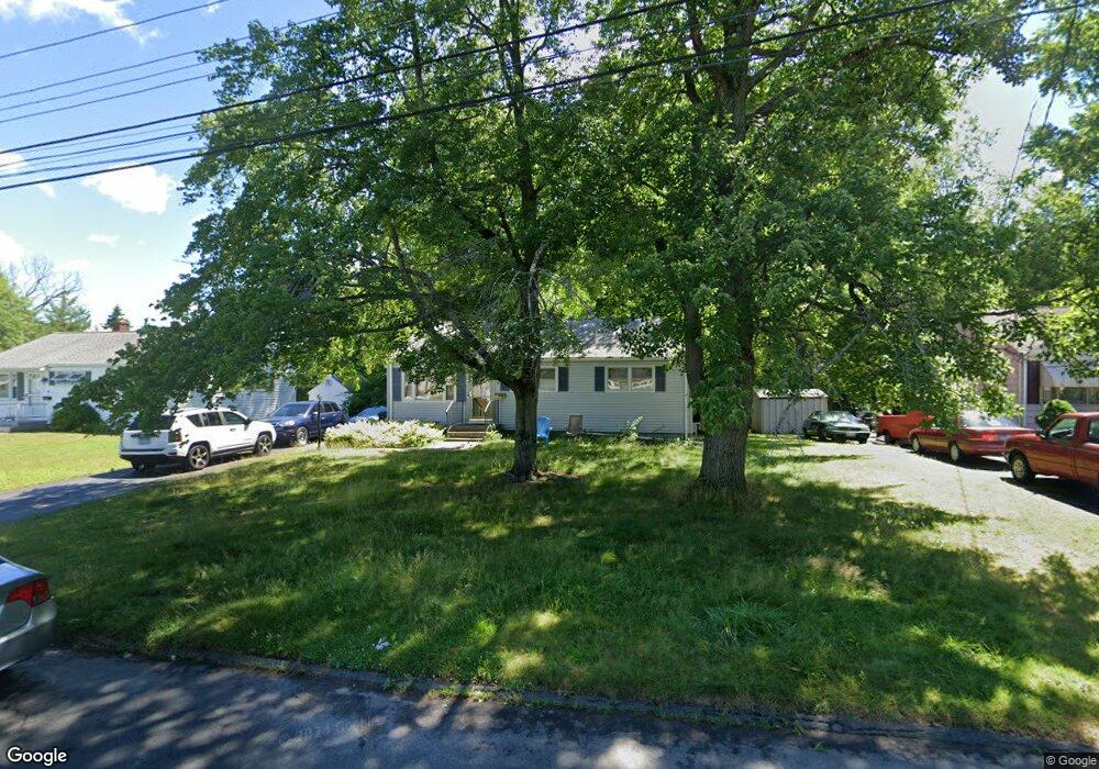
44 Brookside Cir Wethersfield, CT 06109
Estimated Value: $277,000 - $325,000
3
Beds
2
Baths
888
Sq Ft
$343/Sq Ft
Est. Value
About This Home
This home is located at 44 Brookside Cir, Wethersfield, CT 06109 and is currently estimated at $304,224, approximately $342 per square foot. 44 Brookside Cir is a home located in Hartford County with nearby schools including Emerson-Williams School, Silas Deane Middle School, and Wethersfield High School.
Ownership History
Date
Name
Owned For
Owner Type
Purchase Details
Closed on
Sep 30, 2003
Sold by
Mcmullen John Q and Mcmullen Diane F
Bought by
Shiff Stephen M and Shiff Adrienne M
Current Estimated Value
Home Financials for this Owner
Home Financials are based on the most recent Mortgage that was taken out on this home.
Original Mortgage
$171,690
Interest Rate
6.29%
Create a Home Valuation Report for This Property
The Home Valuation Report is an in-depth analysis detailing your home's value as well as a comparison with similar homes in the area
Home Values in the Area
Average Home Value in this Area
Purchase History
| Date | Buyer | Sale Price | Title Company |
|---|---|---|---|
| Shiff Stephen M | $177,000 | -- |
Source: Public Records
Mortgage History
| Date | Status | Borrower | Loan Amount |
|---|---|---|---|
| Open | Shiff Stephen M | $166,869 | |
| Closed | Shiff Stephen M | $192,000 | |
| Closed | Shiff Stephen M | $183,600 | |
| Closed | Shiff Stephen M | $171,690 |
Source: Public Records
Tax History
| Year | Tax Paid | Tax Assessment Tax Assessment Total Assessment is a certain percentage of the fair market value that is determined by local assessors to be the total taxable value of land and additions on the property. | Land | Improvement |
|---|---|---|---|---|
| 2025 | $6,507 | $157,860 | $63,170 | $94,690 |
| 2024 | $4,812 | $111,330 | $57,520 | $53,810 |
| 2023 | $4,651 | $111,330 | $57,520 | $53,810 |
| 2022 | $4,573 | $111,330 | $57,520 | $53,810 |
| 2021 | $4,528 | $111,330 | $57,520 | $53,810 |
| 2020 | $4,530 | $111,330 | $57,520 | $53,810 |
| 2019 | $4,536 | $111,330 | $57,520 | $53,810 |
| 2018 | $4,453 | $109,200 | $54,200 | $55,000 |
| 2017 | $4,343 | $109,200 | $54,200 | $55,000 |
| 2016 | $4,209 | $109,200 | $54,200 | $55,000 |
| 2015 | $4,170 | $109,200 | $54,200 | $55,000 |
| 2014 | $4,012 | $109,200 | $54,200 | $55,000 |
Source: Public Records
Map
Nearby Homes
- 1 Brussels Ave
- 19 Albert Ave
- 1 Bristol St
- 219-221 Jordan Ln
- 192 Wolcott Hill Rd
- 55 Rutledge Rd
- 295 Ridge Rd Unit 8
- 144 Brown St
- 23 Hillcrest Ave
- 107 Harmund Place
- 18 Avalon Place
- 28 Bolton St
- 166 George St
- 43 Yale St
- 51 Hanmer St
- 317-319 Garden St
- 1 Fernwood St
- 173 Timber Trail
- 208 Mountain St
- 273 Forest Dr
- 40 Brookside Cir
- 50 Brookside Cir
- 34 Brookside Cir
- 43 Brookside Cir
- 56 Brookside Cir
- 49 Brookside Cir
- 39 Brookside Cir
- 55 Brookside Cir
- 33 Brookside Cir
- 62 Brookside Cir
- 116 Brookside Cir
- 112 Brookside Cir
- 122 Brookside Cir
- 59 Brookside Cir
- 27 Brookside Cir
- 106 Brookside Cir
- 128 Brookside Cir
- 22 Brookside Cir
- 66 Brookside Cir
- 102 Brookside Cir
Your Personal Tour Guide
Ask me questions while you tour the home.