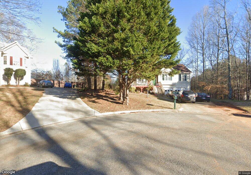
44 Clint Ct Temple, GA 30179
Estimated Value: $260,000 - $287,000
3
Beds
2
Baths
1,266
Sq Ft
$214/Sq Ft
Est. Value
About This Home
This home is located at 44 Clint Ct, Temple, GA 30179 and is currently estimated at $270,363, approximately $213 per square foot. 44 Clint Ct is a home located in Paulding County with nearby schools including Union Elementary School, Carl Scoggins Sr. Middle School, and South Paulding High School.
Ownership History
Date
Name
Owned For
Owner Type
Purchase Details
Closed on
Jul 3, 2002
Sold by
S R Golden Homes Inc
Bought by
Burnette Wanda A
Current Estimated Value
Home Financials for this Owner
Home Financials are based on the most recent Mortgage that was taken out on this home.
Original Mortgage
$88,300
Interest Rate
6.31%
Mortgage Type
New Conventional
Purchase Details
Closed on
Dec 4, 2001
Sold by
Valleybrooke Homes Inc
Purchase Details
Closed on
Nov 12, 2001
Sold by
Maulding Gary A
Create a Home Valuation Report for This Property
The Home Valuation Report is an in-depth analysis detailing your home's value as well as a comparison with similar homes in the area
Home Values in the Area
Average Home Value in this Area
Purchase History
| Date | Buyer | Sale Price | Title Company |
|---|---|---|---|
| Burnette Wanda A | $110,400 | -- | |
| Burnette Wanda A | $110,400 | -- | |
| -- | $23,600 | -- | |
| -- | $22,500 | -- |
Source: Public Records
Mortgage History
| Date | Status | Borrower | Loan Amount |
|---|---|---|---|
| Previous Owner | Burnette Wanda A | $88,300 |
Source: Public Records
Tax History
| Year | Tax Paid | Tax Assessment Tax Assessment Total Assessment is a certain percentage of the fair market value that is determined by local assessors to be the total taxable value of land and additions on the property. | Land | Improvement |
|---|---|---|---|---|
| 2025 | $654 | $99,548 | $12,000 | $87,548 |
| 2024 | $738 | $111,040 | $12,000 | $99,040 |
| 2023 | $819 | $104,448 | $12,000 | $92,448 |
| 2022 | $721 | $90,608 | $12,000 | $78,608 |
| 2021 | $643 | $66,320 | $8,000 | $58,320 |
| 2020 | $672 | $65,400 | $8,000 | $57,400 |
| 2019 | $530 | $50,588 | $8,000 | $42,588 |
| 2018 | $511 | $49,396 | $8,000 | $41,396 |
| 2017 | $472 | $44,440 | $8,000 | $36,440 |
| 2016 | $450 | $43,640 | $8,000 | $35,640 |
| 2015 | $351 | $33,600 | $8,000 | $25,600 |
| 2014 | $356 | $32,316 | $8,000 | $24,316 |
| 2013 | -- | $25,400 | $8,000 | $17,400 |
Source: Public Records
Map
Nearby Homes
- 508 Millertown Rd
- 22 Ragan Dr
- 2710 Mulberry Rock Rd
- 1312 Mulberry Rock Rd
- 1025 Billy Bullock Rd
- 723 Mulberry Rock Rd
- 389 Orchard Dr
- 276 Boulder View Pkwy
- 244 Stonehenge Dr
- 350 Taylor Path
- 26 Harmony Woods Dr
- 281 Harmony Woods Dr
- 292 Harmony Woods Dr
- 8277 Buchanan Hwy
- 798 Boulder View Pkwy
- 15 Quarry Ln
- 393 Rc Thompson Rd
- 3902 Mulberry Rock Rd
- 123 Mulberry Dr
- 366 Farmington Dr
- 40 Clint Ct
- 37 Clint Ct Unit 21
- 37 Clint Ct
- 203 Gilberts Way
- 211 Gilberts Way
- 34 Clint Ct
- 15 Clint Ct
- 210 Makayla Way
- 00 Nix Path
- 0 Nix Path Unit 3219792
- 74 Makayla Way
- 161 Makayla Way
- 44 Makayla Way
- 155 Gilberts Way
- 208 Gilberts Way
- 178 Gilberts Way
- 178 Gilberts Way
- 133 Makayla Way
- 201 Makayla Way
- 101 Makayla Way
Your Personal Tour Guide
Ask me questions while you tour the home.